
Nice Weekend Weather, Unsettled Weather Possible by Midweek
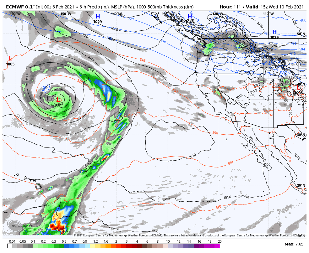
The Weekend: We will see beautiful weather through the weekend with mostly sunny skies and highs in the 40s on the mountain to near 50 degrees at the base. Monday – Wednesday: The pattern shifts slightly Monday with slightly cooler air moving in for the beginning of the week. Highs dropping into the 30s on […]
A Nice Weekend Ahead
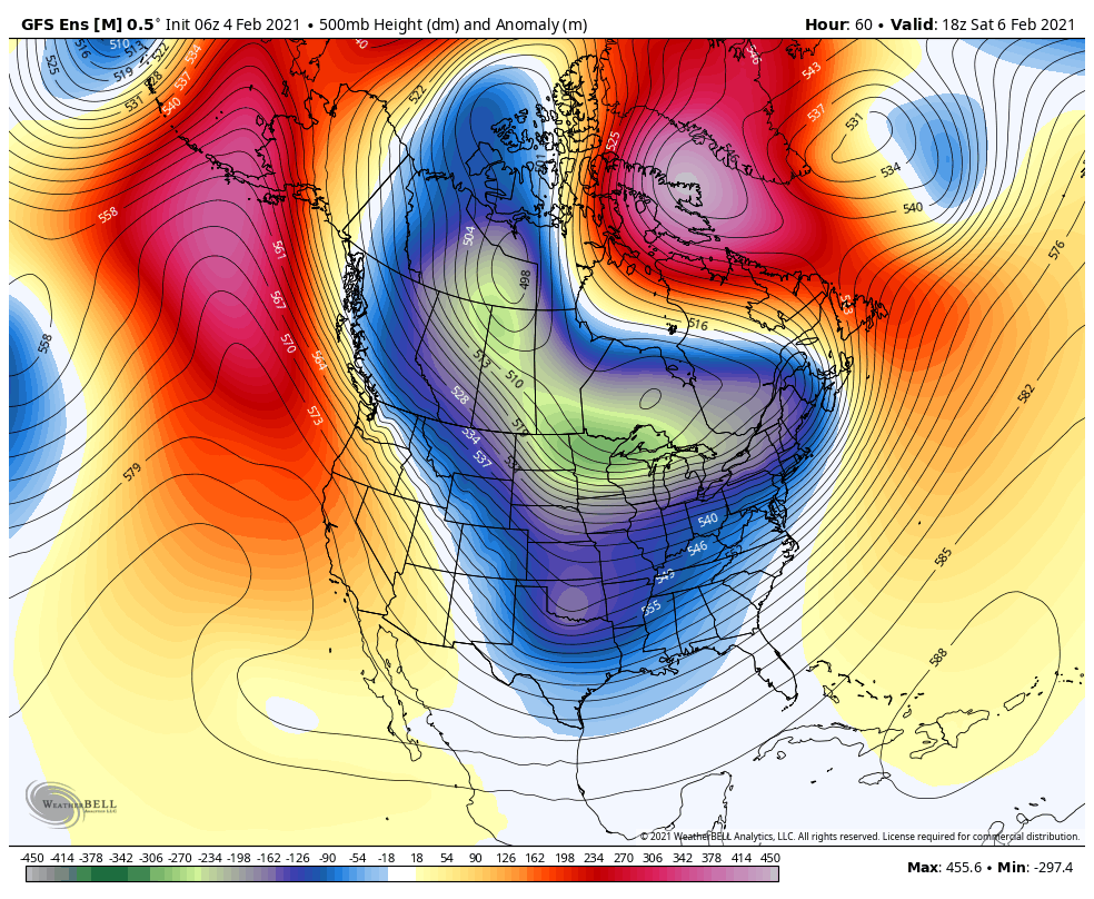
Thursday – Friday: Mostly sunny Thursday & Friday with highs warming into the 30s Thursday and 40s Friday. Gusty northeast winds Thursday with ridgetop gusts up to 40+ mph. Gusty winds continue Friday with the winds switching to the northwest. Ridgetop gusts to 50+ mph. The Weekend: Over the weekend the winds finally relax. We […]
Cold & Windy Wednesday with A Few Snow Showers
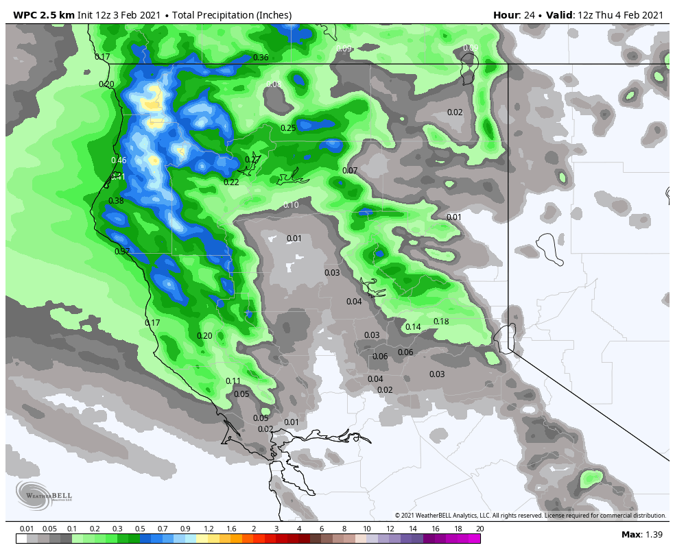
Snowfall Report: The storm that moved through Tuesday performed as expected. The mountain is reporting 8 inches of new snow at the base, 12 inches at mid-mountain, and 16 inches up top. Wednesday System: We are seeing some strong winds early Wednesday morning with winds gusting to 80+ mph up top. That will likely cause […]
Snow Tuesday with Snow Showers Possible Wednesday
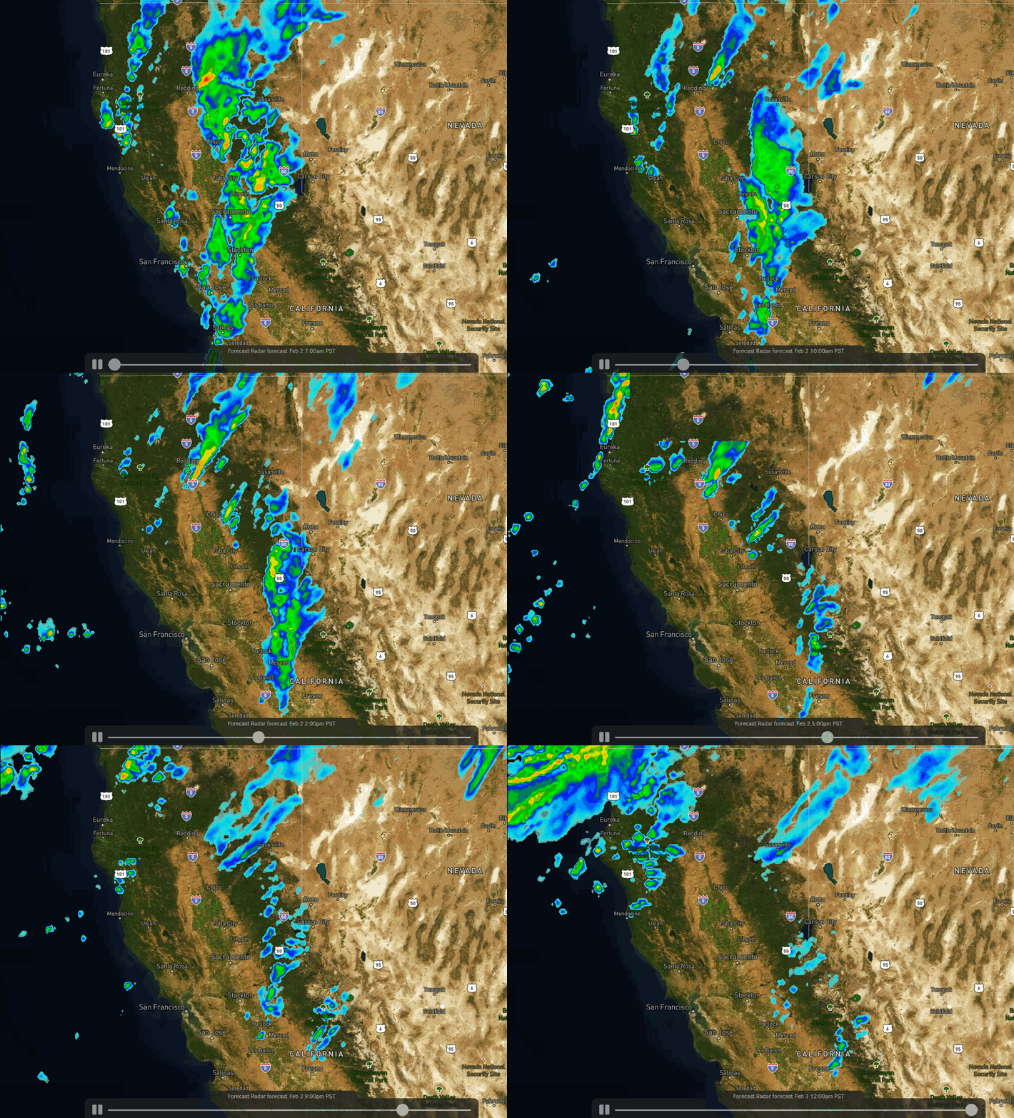
Tuesday Storm: We saw light snow move in early Tuesday morning. That continues through the morning with the heaviest snow expected around midday into the afternoon as the cold front moves through. Then scattered snow showers could linger through the evening before ending later Tuesday night. Ridgetop winds continuing to gust up to 60+ mph […]
Windy Monday, Snow Tuesday & Wednesday
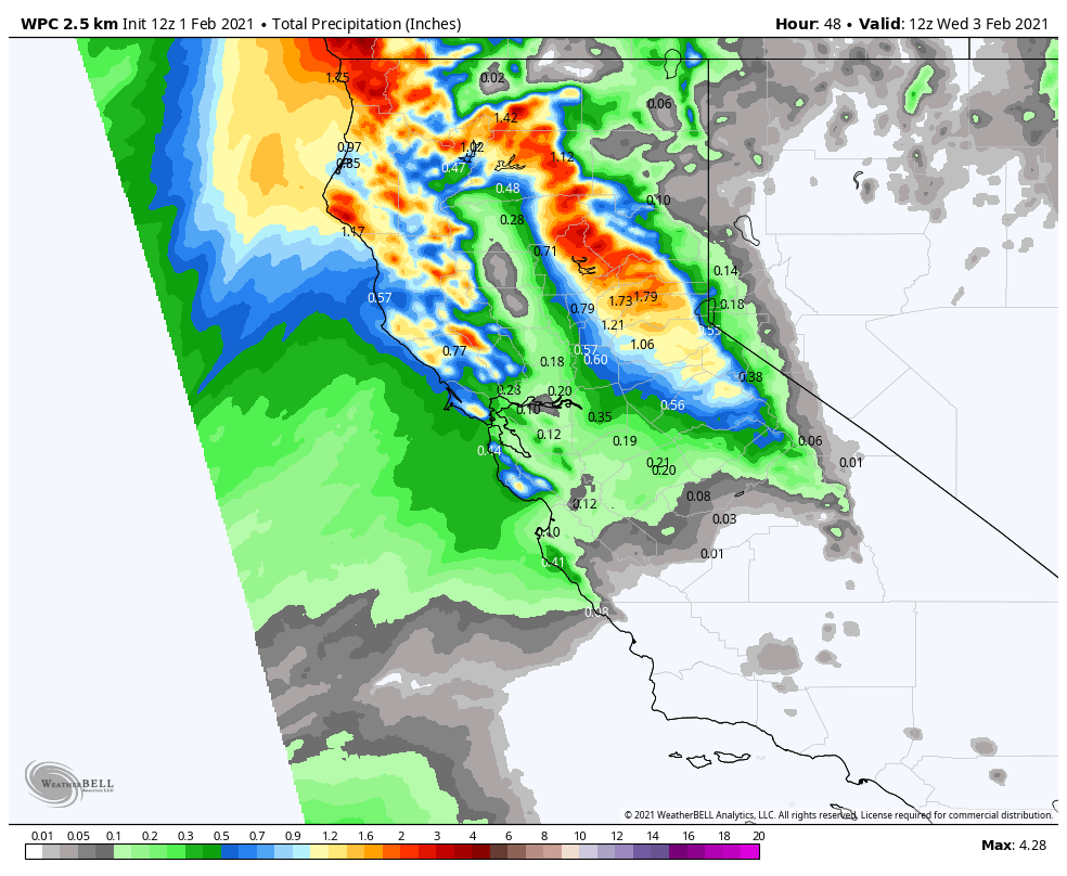
Monday: For today, we have some clouds streaming in with the moisture plume to our northwest and some moisture streaming into CA to our south from the southern branch of the jet stream. We should see a mix of sun and clouds for most of the day with some gusty winds. Ridgetop winds gusting to […]
Partly Sunny Weekend, The Next Storm Monday Night
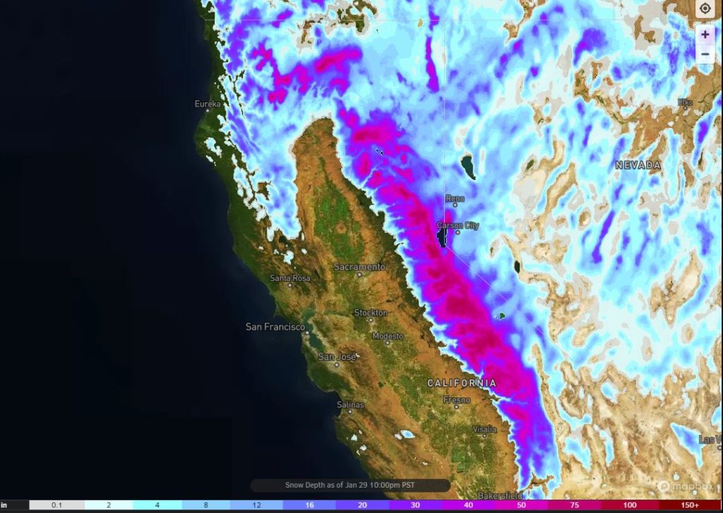
Snowfall Report: A final 1-3 inches of snow fell on the mountain in the past 24 hours. That brings the 4-day storm total on the upper mountain 67 inches, the 1-week total to 82 inches, the January total to 99 inches, and the season total to 184 inches! The snow depth map is shown above. […]
The Snow Continues into Friday

Snowfall Report: The storm moved in overnight with 8 inches of new snow at the base and 14 inches on the upper mountains as of 5am. The snow continues to fall this morning and the storm is just getting started. The NOAA Blizzard Warning remains in effect until 4am Friday. Wednesday – Thursday Storm: The […]
Strong Storm for Tuesday Night – Friday
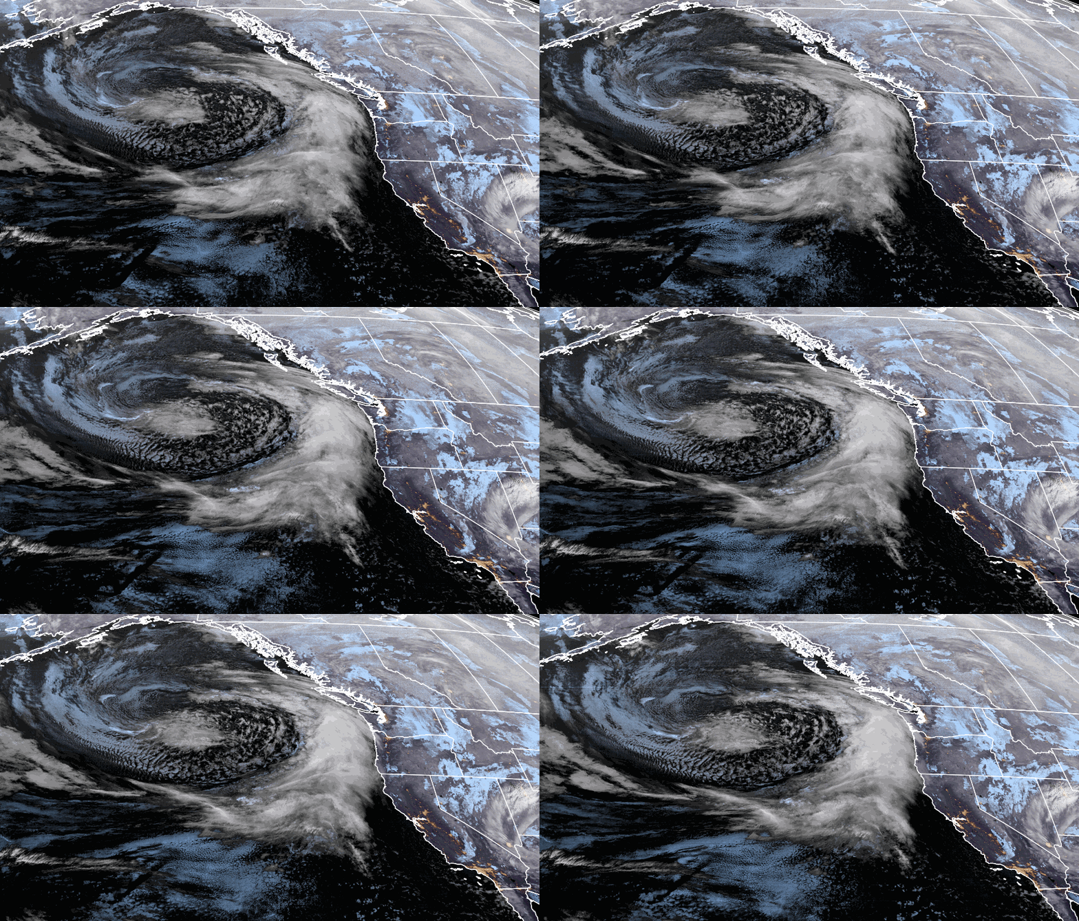
Snowfall Report: The snow showers on Monday dropped a final 3-4 inches of new snow on the mountain. That brings the storm total to 11 inches, the 4-day total to 15 inches, and the season total to 118 inches. Tuesday: We will see mostly sunny skies this morning and then increasing clouds through the afternoon. […]
Snow Showers Monday, Strong Storm Wed – Thu
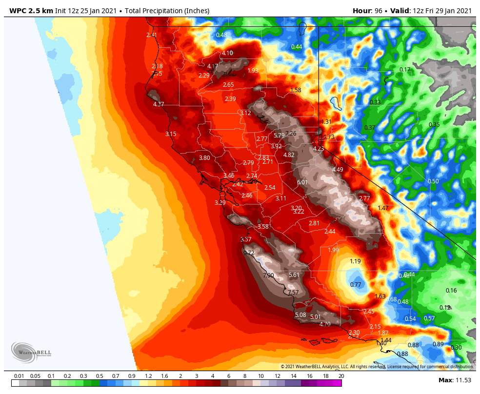
Snowfall Report: 6 inches at the base and 8 inches of new snow up top from the cold system that moved in Sunday night. That brings the 3-day total to 12 inches and the season total to 115 inches. Monday: Cold Monday with highs in the 20s and scattered snow showers. We could see another […]
Another Cold System Sunday Night into Monday
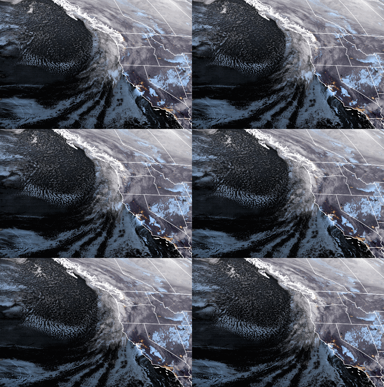
Sunday – Monday Storm: The next cold system drops down from the north on Sunday. We will see partly sunny skies Sunday morning. Then increasing clouds and winds Sunday afternoon with southwest winds gusting to 40+ mph up top. Light snow showers could move in Sunday afternoon with steady showers Sunday night into Monday. Even […]