Sunday – Monday Storm:
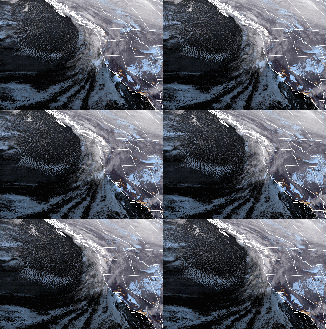
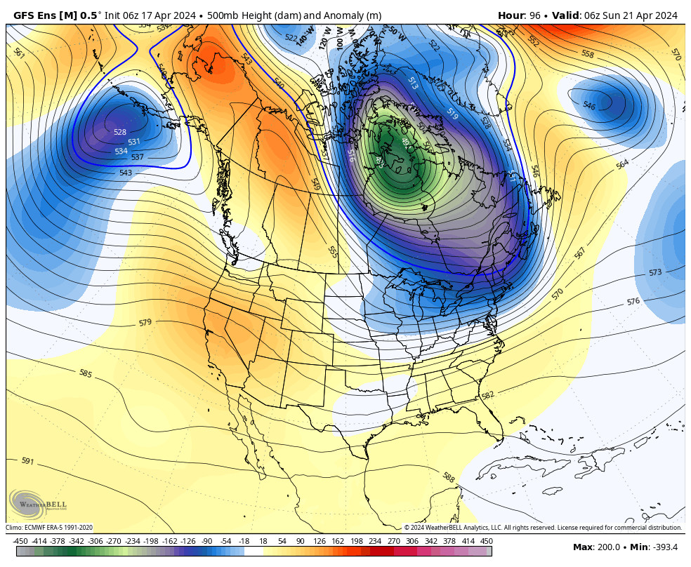
The next cold system drops down from the north on Sunday. We will see partly sunny skies Sunday morning. Then increasing clouds and winds Sunday afternoon with southwest winds gusting to 40+ mph up top. Light snow showers could move in Sunday afternoon with steady showers Sunday night into Monday.
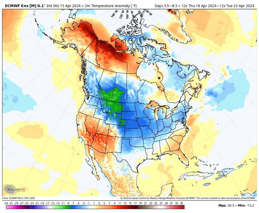
Even colder air expected with highs in the 20s down to the base and maybe only teens up top Monday. That will bring powdery snow and high snow ratios. We could see an additional 2-5 inchesof snow at the base, and 3-7 inches on the mountain by Monday night.
Tuesday – Thursday Storm:
We will likely see a break during the day Tuesday. We could see partly sunny skies in the morning and increasing clouds through the afternoon. Highs in the 20s at the base and teens up top.
A strong storm will be taking a position off the West Coast Tuesday night into Wednesday and will direct a stream of heavy precipitation into the Sierra. That will bring heavy snow Tuesday night into Wednesday. Snow levels look to stay below the base along with strong winds up top gusting to 70+ mph. We could see 1-2 feet of new snow on the mountain by Wednesday evening.
The question is then what happens with the atmospheric river aimed at the Sierra. The latest model runs suggest the moisture plume shifts just to the south Wednesday night with light-moderate snow continuing and then shifts back north with heavy snow again for Thursday. Then light-moderate snow Thursday night, with snow showers possibly lingering to Friday morning before the system moves east.
If we see the AR shift back north Thursday as the latest models suggest, we could see another 2-3 feet of new snow. So we will have to watch the trend on the models closely to see what happens with the position of the heavy precip streaming into the Sierra. By Friday morning we could see totals of 1-3 feet at the base, and 3-5 feet on the mountain.
Long-Range:
We may not see much of a break Friday as a weaker storm could bring more snow Friday night into Saturday. The long-range models show more storms possibly moving in next Sunday and into early the week of the 1st. We will be tracking each system and fine-tuning the snowfall and details as we get closer.
BA

