Snowfall Report:
The storm that moved through Tuesday performed as expected. The mountain is reporting 8 inches of new snow at the base, 12 inches at mid-mountain, and 16 inches up top.
Wednesday System:
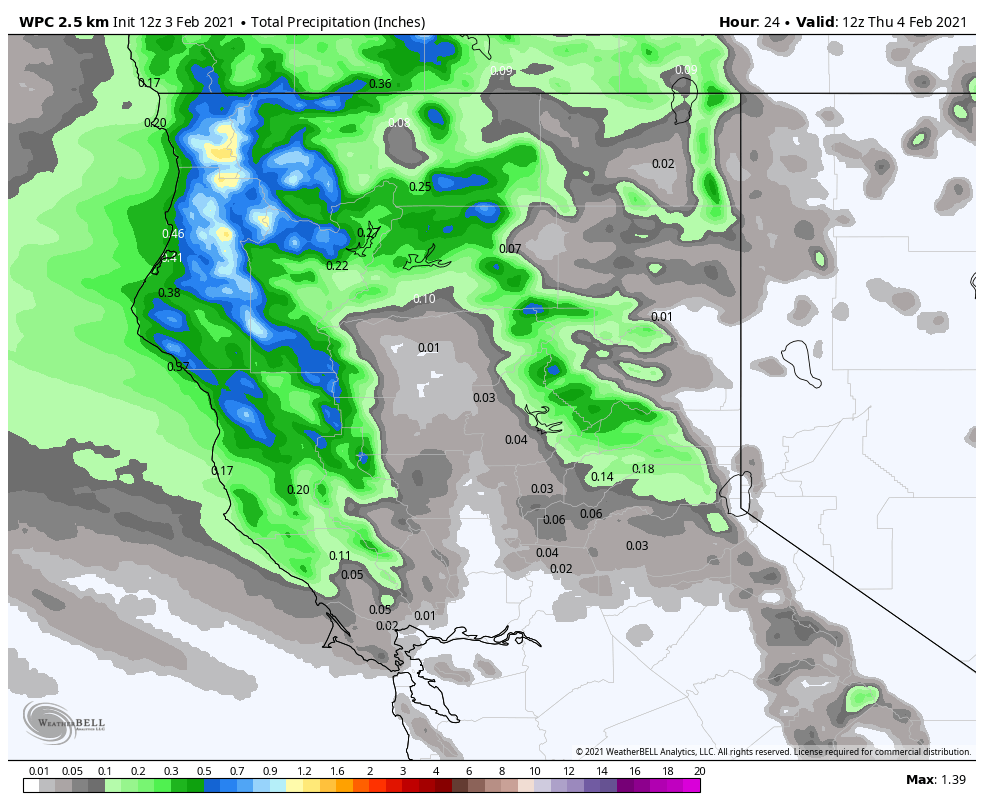
We are seeing some strong winds early Wednesday morning with winds gusting to 80+ mph up top. That will likely cause some wind holds on the upper mountain lifts. Ridgetop winds are expected to be gusty all day, but come down some through the day with gusts to 60+ mph from the southwest.
We will see increasing clouds through the morning with scattered snow showers possibly returning by late morning through the afternoon, then clearing Wednesday night. Highs only in the 20s. The snow showers could bring only a dusting up to an inch or two to the mountain by the end of the day.
Thursday – Friday:
Mostly sunny Thursday & Friday with highs warming into the 30s Thursday and 40s Friday. Gusty northeast winds Thursday with ridgetop gusts to 30+ mph. Stronger winds again Friday the winds switching to the northwest with ridgetop gusts to 70+ mph. That may cause a few upper mountain lift closures again.
The Weekend:
Over the weekend the winds finally relax. We should see beautiful weather with mostly sunny skies and highs in the 40s.
Long-Range:
The long-range forecast models suggest we could start to see a pattern shift starting Monday that could allow weak systems to return to northern CA by the middle of next week, possibly as early as next Tuesday. But the forecast models do not agree on specific storm chances for next week, with a couple showing the dry pattern continuing.
For now, expect the dry pattern to continue Monday. We will continue to watch closely to see if we could see a few systems start to move through starting next Tuesday. Stay tuned.
BA


