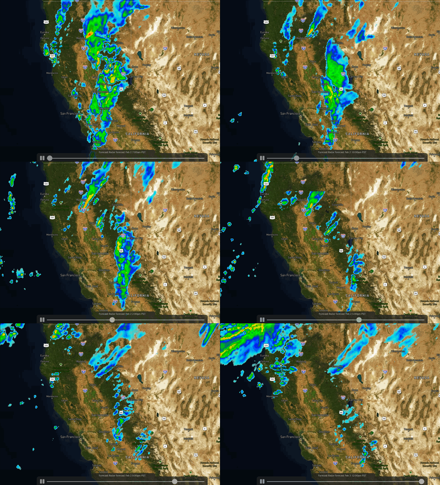
Tuesday Storm:
We saw light snow move in early Tuesday morning. That continues through the morning with the heaviest snow expected around midday into the afternoon as the cold front moves through. Then scattered snow showers could linger through the evening before ending later Tuesday night. Ridgetop winds continuing to gust up to 60+ mph from the southwest Tuesday possible keeping some lifts on wind hold.
We are still expecting 5-9 inches of new snow at the base, and 9-16 inches on the mountain by Wednesday morning.
Wednesday System:
We may see some clearing Wednesday morning with ridgetop winds still gusting to 50+ mph. Then we could see increasing clouds and snow showers returning by Wednesday afternoon as a weak system moves through, with snow showers into Wednesday evening. Highs only in the 20s on the mountain Wednesday and 30s at the base.
This system could bring an additional 1-3 inches of snow to the mountain.
Long-Range:
We will see a drier pattern build in starting Thursday through the weekend. Expecting mostly sunny skies with highs in the 30s Thursday along with gusty northeast winds to 40+ mph up top. Then highs warm into the 40s Friday through the weekend. We could see gusty northwest winds Friday up to 50+ mph up top, and then lighter winds for the weekend.
The long-range forecast models suggest we could start to see a pattern shift starting Monday that could allow weak systems to return to northern CA by the middle of next week, possibly as early as next Tuesday. We will continue to watch that trend as we get closer.
BA


