The Weekend:
We will see beautiful weather through the weekend with mostly sunny skies and highs in the 40s on the mountain to near 50 degrees at the base.
Monday – Wednesday:
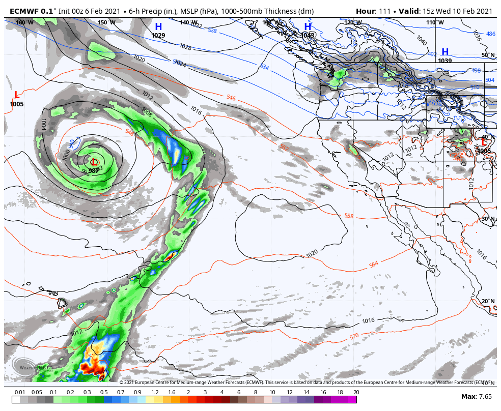
The pattern shifts slightly Monday with slightly cooler air moving in for the beginning of the week. Highs dropping into the 30s on the upper mountain and 40s at the base through Wednesday. It could also allow a weak system to stream light precipitation into Northern CA by Tuesday afternoon into Wednesday.
Right now the precipitation amounts look pretty low through Wednesday. We may see increasing clouds Tuesday with a few scattered showers by Tuesday evening, lasting into Wednesday. Maybe a coating up to an inch of snow on the upper mountain. We will continue to watch the trend on this over the next few days.
Long-Range:
The forecast models have been trending towards the possibility of moderate strength systems possibly pushing into northern CA next weekend starting Friday. They show two systems that could possibly bring snow Fri-Sun.
We will be watching the trend on these systems all week and will get more into the possible details including snowfall as we get closer.
BA


