Wednesday – Friday Storm:
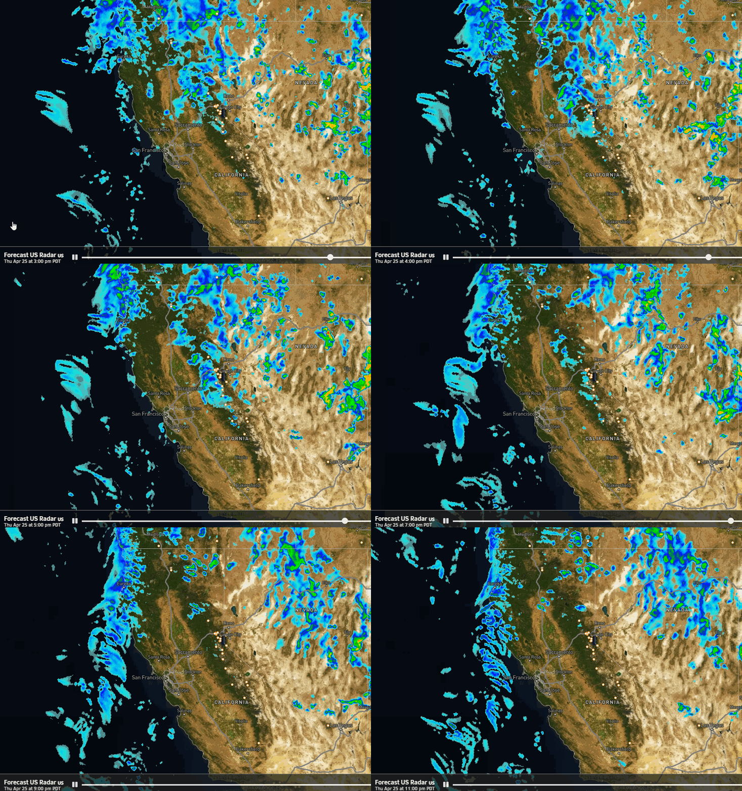
Clouds will increase through the day and so will the winds. Ridgetop gusts from the south-southwest up to 80-90+ mph by afternoon. Temperatures in the 40s near the base and 30s for the upper mountain. Light showers will reach the mountain by late afternoon-evening. The heavier precipitation is expected overnight into Thursday morning.
By Thursday afternoon the precipitation becomes more showery. A moist flow continues over the Sierra through Friday and into Friday night. The winds are forecast to drop on Thursday with gusts possibly only peaking around 40-50+ mph through Friday. It will be colder with highs dropping into the 30s near the base and 20s for the upper mountain.
Snow levels start up around 7000-7500 ft. and then fall overnight to near the base by Thursday morning, and even lower by mid-morning Thursday through Friday night. Snow ratios will start low with the heavier precipitation, and will be around 8-14:1 Thursday between 6k’ – 9k’, and then drier more powdery snow with the snow showers through Friday night.
Around 70% of the snow could fall by Thursday afternoon, with around 30% of the total forecast to fall Thursday night through Friday night. We could see storm totals of around 5-10 inches at the base, 10-15 inches at mid-mountain, and 15-20 inches on the upper mountain by Saturday morning.
Saturday:
We could see a few clouds and scattered showers on Saturday but overall it should be a break in the snow between storms. Highs into the 30s for the near the base and 20s for the upper mountain.
Sunday – Tuesday Storm:
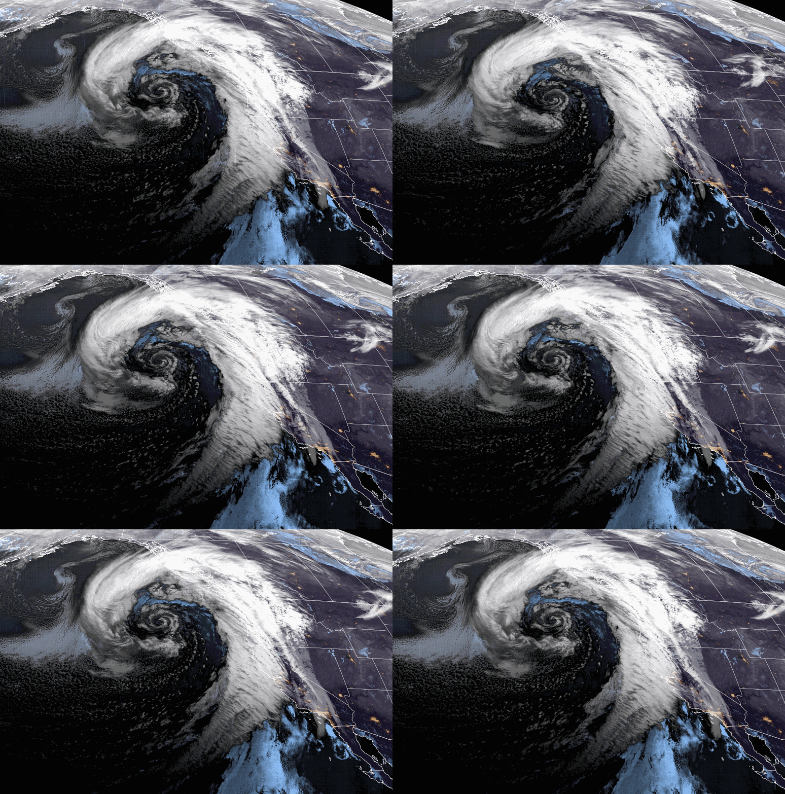
We could see snow move back in sometime Sunday morning with some heavier snow Sunday afternoon into Sunday night. The center of the low is forecast to spin near the northern CA coast through Tuesday before eventually dropping south on Wednesday. That will direct moisture into the Sierra for about 3 days.
We are not expecting strong winds with this storm. Temperatures should continue to be in the 30s near the base and 20s up on the mountain. After the heaviest surge of precipitation Sunday night, we could see fairly steady showers through Tuesday night.
The most exciting potential for this storm is that we will already have cold air in place, and we won’t have strong southerly flow pushing in really mild air. It won’t be a super cold storm, but snow levels look to stay below the base over the 3-day period! Snow ratios could average around 10-17:1 from 6000-9000 ft. respectively. That means somewhat powdery snow for the upper mountain.
We could see 3-day storm totals by Wednesday morning of around 24-31 inches at the base, 31-38 inches near mid-mountain, and 37-45 inches up top! We’ll continue to fine-tune this forecast over the next few days, but this is looking like it could be the best snowstorm so far this season.
Long-Range Forecast:
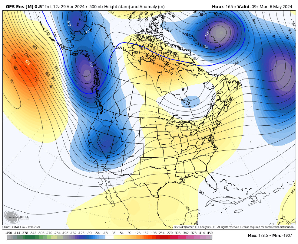
The trough is forecast to hang around CA through the 10th, which should keep temperatures on the colder side and will keep the door open to additional systems. No significant storms showing up beyond Tuesday, so we may just see chances for weak systems to drop into the trough with snow showers. We’ll continue to watch to see if any more interesting storms will show up.
High pressure is still forecast to start building in near the West Coast starting around the 11th through mid-month, likely bringing a break in the storms with a drier and slightly milder pattern for CA.
The long-range models suggest that the pattern could start to become more active again at some point during the 3rd week of February, so we’ll keep an eye on that.
BA

