Snowfall Report:
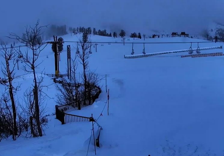
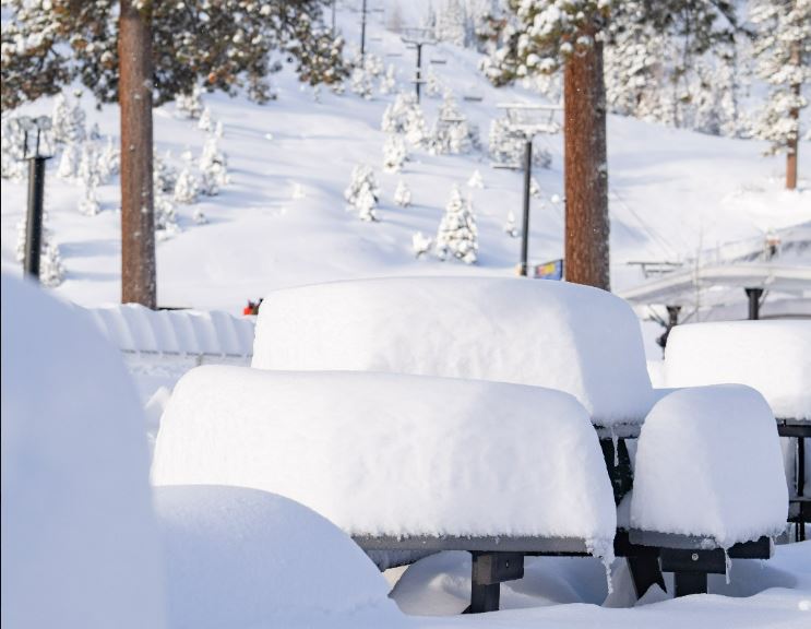
We saw rain and snow showers move through Thursday night which brought some rain to the base and 2 inches of new snow to the upper mountain. The snow levels were running around 6500-7000 ft.
Friday Showers:
The showers are still moving through the area Friday morning and will continue to move through during the day on Friday. We could see a little burst of steadier showers during the afternoon before the system clears out Friday night. Highs only in the 30s on the mountains and low 40s for the base. Snow levels rise up to around 7000-7500 ft.
The latest model runs show 0-2 tenths of an inch of precipitation falling Friday, maybe enough for a final coating up to a couple of inches of additional snowfall on the mountain above 70000 ft.
Drier Pattern Ahead:
We will have a drier pattern over the weekend into next week. Mostly sunny skies are expected each day. Highs in the 50s for the lower elevations and 40s for the higher elevations for the weekend. Then warm a bit into the low 60s for the lower elevations by Tue-Wed.
Long-Range Forecast:
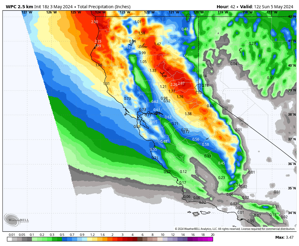
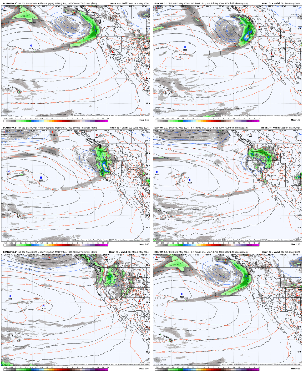
The long-range models show more troughing near the West Coast as we go into the first weekend in May into the week of the 6th.
The jet stream is weak and retracted as we head into the drier months, so we may not see any storms spin up into the trough, or just a weak system or two moving through that could bring a few afternoon pop-up showers. The latest model runs don’t show much of anything that could bring rain or snow over the next two weeks.
The troughing near the coast may cool high temperatures back into the 50s by the first weekend in May, and overall may just have the effect of keeping us from warming very much into the week of the 6th.
BA
P.S. I’ll be doing one final forecast post for the season on Monday the 29th.

