Wednesday Weather:
Mostly sunny skies for Wednesday with a few clouds and possibly a shower or two popping up over the mountains Wednesday afternoon. Highs in the 50s for the lower elevations and 40s for the higher elevations.
Thursday – Friday System:
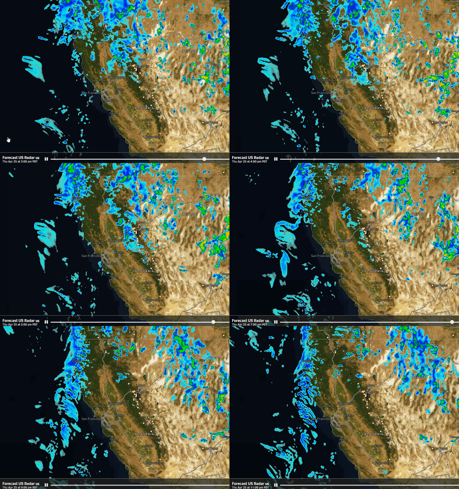
We should start the day with sunny skies on Thursday and then increasing clouds into the afternoon with some light rain showers reaching crest. Then rain & snow showers could continue into Thursday night and Friday as the weak system moves through.
Highs in the 50s and 40s again on Thursday with snow levels likely above 7500-8000 ft. Then colder air starts to work in Thursday night with snow levels dropping to around 6500-7000 ft. Then highs are only in the 40s near the base and 30s on the mountain Friday with snow levels staying around 6800-7300 ft.
There is less cold air moving in on the latest model runs, so it now looks like we could see all rain at the base up to 6500+ ft. Wet snow for the upper mountain Thursday night into Friday. In total, we could see around 1-3 inches of new snow on the upper mountain by Friday evening.
Drier Pattern:
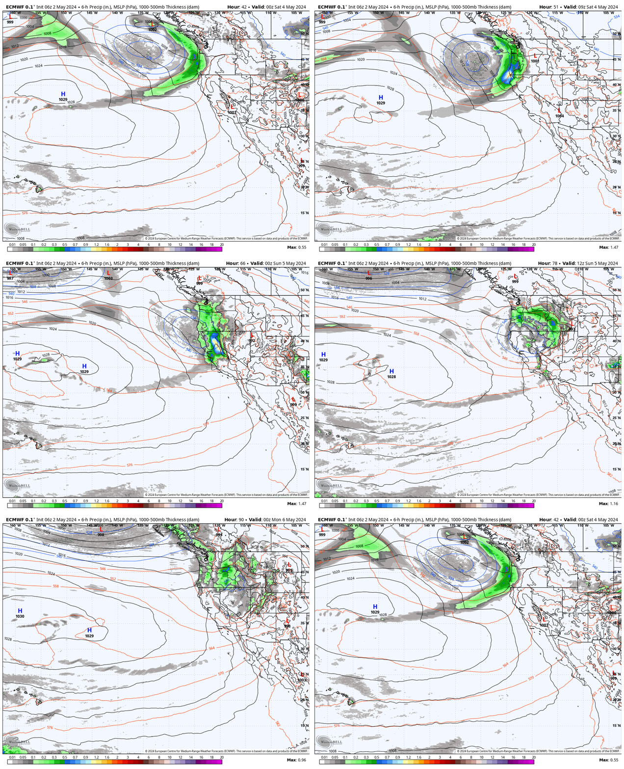
The next trough looks to only dig into the Pacific NW with high-pressure building in over CA for the weekend into early next week. We should see mostly sunny skies each day with highs warming into the 50s again for the lower elevations, with 40s for the higher elevations.
Long-Range Forecast:
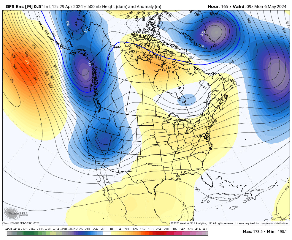
Going into May the long-range models show additional troughs trying to dig into the West Coast. The next one could dig in later next week with a shot of cooler air possible by next Thursday – Friday. That could also open up the door to another weak system moving through with some rain and high-elevation snow showers.
I’ll be finishing up my forecasts for the season on Monday. But you always have the OpenSnow app to track any late-season snowfall for the mountain!
BA

