Snowfall Report:
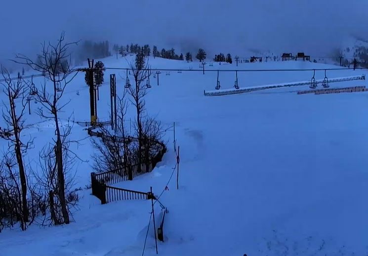
A fresh 4 inches of snow fell on the mountain with the snow showers on Wednesday. That brings the 2-day total to 6 inches, and the total for the first week of February to 53 inches!
Thursday – Friday:
Partly sunny with some scattered snow showers and cold for Thursday and Friday. Highs in the 30s for the lower elevations near the base and 20s for the upper mountain. Lighter winds. Not expecting more than a dusting of snow for most areas each day.
Drier Pattern:
Mostly sunny skies are expected for the weekend and into Monday. Highs warming into the 30s for Saturday, and then the 40s for the lower elevations near the base Sunday and Monday.
The majority of the forecast models, including the European and Canadian, keep high pressure over the region through the end of next week with the dry pattern continuing.
The GFS model over the past 24 hours has been weakening the ridge a bit more allowing a weak system with some showers in by Tuesday, and possibly another weakening system reaching the Sierra by Thursday. We’ll keep an eye on that trend, but as of this morning, the GFS model is still in the minority in showing precipitation next week.
President’s Weekend:
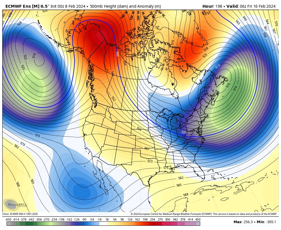
There is better agreement that the pattern starts to change over President’s Weekend as we have been discussing all week. A strong Pacific jet stream is forecast to extend close to the West Coast by the weekend with a large trough to the north.
The European and Canadian models have the first system reaching the coast around Saturday the 17th but weaken and split it quite a bit with only light precipitation reaching the Sierra at best. The GFS shows the weakening and splitting but has a bit more moisture reaching the Sierra.
They still show a better chance of more appreciable precipitation reaching the Sierra with the next storm around Monday the 19th. Since it is a holiday weekend and a busy travel period, we will be watching the trends closely to see how much precipitation and snow could reach the Sierra over the weekend. Snow levels will likely fluctuate as well.
Long-Range Forecast:
The long-range models are showing the active pattern continuing through about the 23rd before the jet stream starts to weaken and retract. The latest operational model runs show most of the storms weakening and splitting by the time they reach the Sierra, and the ensemble mean models don’t show a ton of moisture through the period but do show a wetter period with several storms.
We could see some storms tap some deeper subtropical moisture or hold together better than the latest model runs are showing, bringing us some heavier precipitation. This pattern is still 7-10 days away and beyond, so lots of time to watch the trends through the drier pattern over the next week.
These are not -PNA cold trough pattern storms, so no matter how much precipitation we get later in the month, we will likely be wrestling with snow levels as we have been doing most of this El Nino season. We expected a back-loaded and milder season, and that seems to be what we are getting.
BA

