Skip to content
Palisades Tahoe Logo Palisades Tahoe Logo Palisades Tahoe Logo
Explore
Main Menu
  • Explore Palisades Tahoe
  • Base to Base Gondola
  • Our New Name
  • Explore Legendary Lifts
  • Palisades Tahoe Blog
  • About Lake Tahoe
  • About Us
Plan Your Visit
Main Menu
  • Tickets & Passes
  • Lodging
  • Lessons & Guides
  • Deals & Packages
  • Rentals & Demos
  • Travel Here
  • Getting Around
Mountain Information
Main Menu
  • Snow and Weather
  • Lift and Grooming Status
  • Webcams
  • Hours of Operation
  • Trail Maps
  • Parking & Road Conditions
  • Snowfall Tracker
Events & Activities
Main Menu
  • Events Calendar
  • Activities
  • Dining & Apres
  • Shopping
  • Things To Do In Lake Tahoe
  • Groups, Meetings & Weddings
  • Ski & Snowboard Teams
IKON PASS HOLDER LODGING DISCOUNT

Ikon Pass holders save up to 20% on slopeside lodging at The Village at Palisades Tahoe.

SLOPESIDE LODGING
Icon / FlashCreated with Sketch.
View All Offers
  • Weather

A Sunny Super Bowl Sunday

  • Feb 12, 2023
  • 8:31 am

Snowfall Report

A final inch of snow fell Saturday morning which brought the final storm total to 2-4 inches of snow from the base up to the summit. A small storm to refresh the slopes.

Sunday – Monday:

Sunday into Monday the weather will be dry with mostly sunny skies on both days. Highs warming into the 40s. Ridgetop winds from the east continue Sunday but with gusts only up to 40-50+ mph. Then turning to the west Monday.

The winds start out light on Monday but are forecast to ramp up significantly through the day as a strong cold front approaches the region from the north. Ridgetop gusts could be up to 60-70+ mph by the end of the day. That could affect some upper mountain lifts before the end of the ski day on Monday.

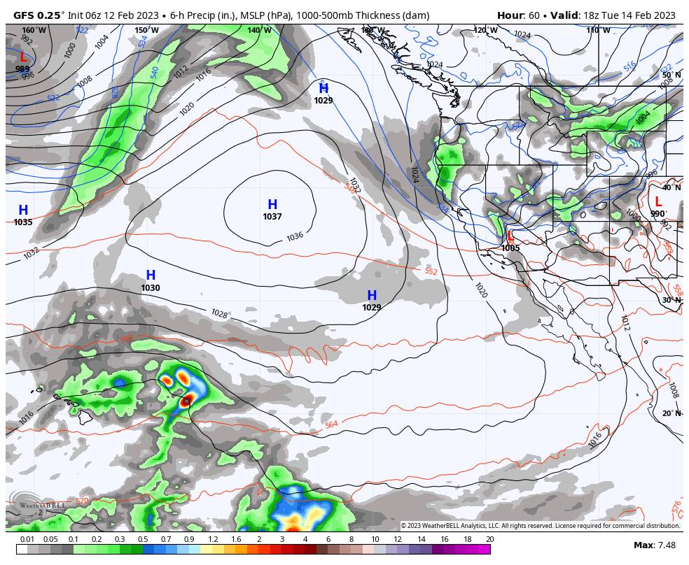
Monday Night – Tuesday Cold Front:

A cold trough digs in from the north Monday night into Tuesday. We could see a few snow showers with the cold front a second weak wave moving through Monday night through Tuesday. We could see sun and clouds along with scattered snow showers Tuesday and then mostly sunny again Wednesday. Highs drop into the 20s for both days.

The latest model runs show very light precip with the possible snow showers Tuesday. We could see a dusting up to an inch or two of new snow with the snow showers. Northwest winds gusting up to 30-40+ mph over the ridges Tuesday and then turning northeast and dropping through the day on Wednesday.

Thursday – Friday:

Thursday weak high pressure is over CA with mostly sunny skies and highs into the 30s. Then by Friday, the models agree that a splitting trough will dig down the West Coast. A cut-off low is forecast to form off the coast and to drop south far enough to our west to keep us dry. We could see some clouds  Friday with highs in the 30s.

Long Range:

For President’s Weekend, the long-range models show the trough kicking east and a large high-pressure ridge off of and along the West Coast. That should keep us dry through Monday the 20th. We are on the colder side of the ridge, so we may continue to see high temperatures into the 30s. Maybe tapping the 40s at lake level by the end of the weekend.

The long-range models continue to show a cold trough digging south farther to the west over the West Coast starting around the 22nd into the 23rd. By the weekend of the 24th-26th, the trough could be well established over the West and West Coast. That would at least bring us much colder air into the West for the last week of February.

Hopefully, it also opens up the storm door to some wetter storms from off of the Pacific. The long-range models have not been showing much in the way of storms yet, but if the trough digs far enough west off the coast as the models are showing, then the door could open up to a few wetter storms. We’ll continue to watch the trends.

BA

lake tahoe weather palisades tahoe weather forecast snowfall forecast
Bryan Allegretto
Bryan Allegretto

Share this article:

Recent Posts

  • Weather ·
  • March 24, 2023·

Drier w/ Spotty Snow Showers thru Sunday

Snowfall Report: 3-5 inches of new snow fell on the mountain, from the base to the upper mountain, in the…
Read more
  • Weather ·
  • March 23, 2023·

Snow Thursday, Drier for the Weekend

Snowfall Report: An additional 2 inches of snow fell on the mountain in the past 24 hours as of 5…
Read more
  • Weather ·
  • March 22, 2023·

Scattered Snow Showers Continue

Snowfall Report: We were expecting 1-4 inches to fall Tuesday-Tuesday night. We picked up the lower end of the forecast…
Read more

Social

Instagram Twitter Facebook Youtube

Contact

   Email Us
   1.800.403.0206

Our Partners

U.S. Forest Service Logo
1960 Olympic Valley Road
Olympic Valley, CA 96146

©2022 Palisades Tahoe

Alterra Mountain Company
  • Privacy Policy
  • Terms of Service
  • Photo Upload Terms of Use
  • Accessibility
  • Do Not Sell My Personal Information
  • Privacy Policy
  • Terms of Service
  • Photo Upload Terms of Use
  • Accessibility
  • Do Not Sell My Personal Information