

Tuesday Weather:
Partly sunny with some clouds for Tuesday as the next storm moving into CA is splitting apart. Highs in the 30s for the mountains and 40s near lake level.
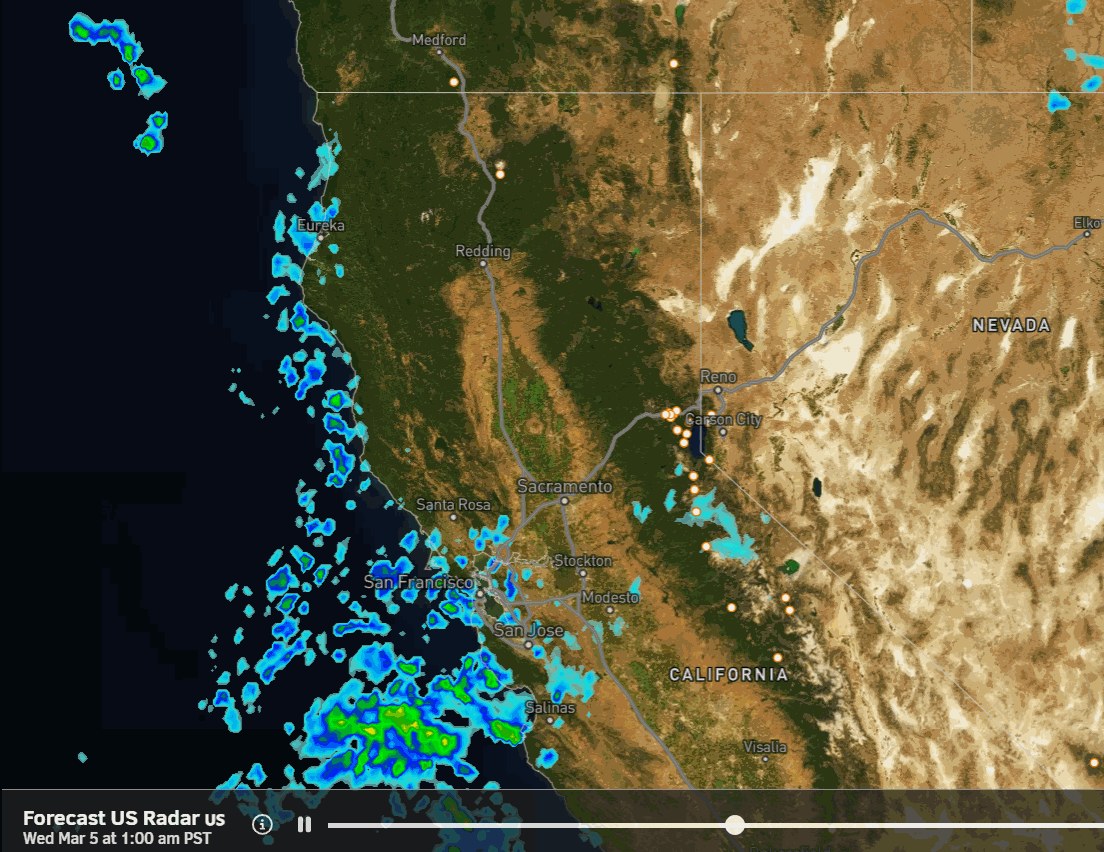
Wednesday – Thursday Snow:
The southern part of the splitting system is picking up Pacific moisture and will move into central CA on Wednesday. That will increase snow showers from the southwest during the early morning hours into the day on Wednesday and continuing into Wednesday night.
A secondary wave spins in from the northwest Wednesday night into Thursday. That will bring in colder air and continue the snow showers through Thursday, and possibly into the evening before clearing out Thursday night.
Highs in the 30s on both days and 20s for the highest peaks. The winds are not that strong again with this storm. Snow levels start near the base and then fall into Wednesday night and Thursday.
Snowfall totals by Thursday night could be around 3-6 inches near the base, 4-7 inches near mid-mountain, and 5-9 inches up top.
Friday – Sunday Sun:
High pressure builds in over CA for the weekend bringing a drier pattern with sunny days. Highs remain in the 30s for Friday but warm into the 40s over the weekend.
Monday – Tuesday Storm:
We continue the more active period going through next week. The next storm approaches on Monday. I mentioned yesterday that this storm looks like it could elongate and tilt as it encounters the departing high-pressure ridge. Today some models are splitting the storm and some now keep it to our south.
Other forecast models continue to show the elongated storm reaching us during the day on Monday with snow showers possible into Tuesday. We’ll continue to watch the trends to see if this storm can hold together enough to bring another round of light snow to the mountains.
Long-Range Forecast:
A reinforcing trough digs in by mid-week and overall the ensemble mean models show troughing and an open storm door over the West Coast from the 10th – 17th.
The next storm continues to look like it has a better chance of spinning up in the eastern Pacific and drawing in lots of moisture before pushing into the West Coast around Wednesday in Thursday. This continues to look like a good chance to see a bigger storm that could bring significant snowfall. We’ll continue to watch the trends with hope.
A weaker system is possible behind this storm and then some models show a final bigger storm possible for the weekend of the 15th – 16th. Any of these storms could trend weaker on the models or not happen as they are still over a week away, but the pattern is there for storms to develop and bring snow to the northern Sierra next week.
BA
