

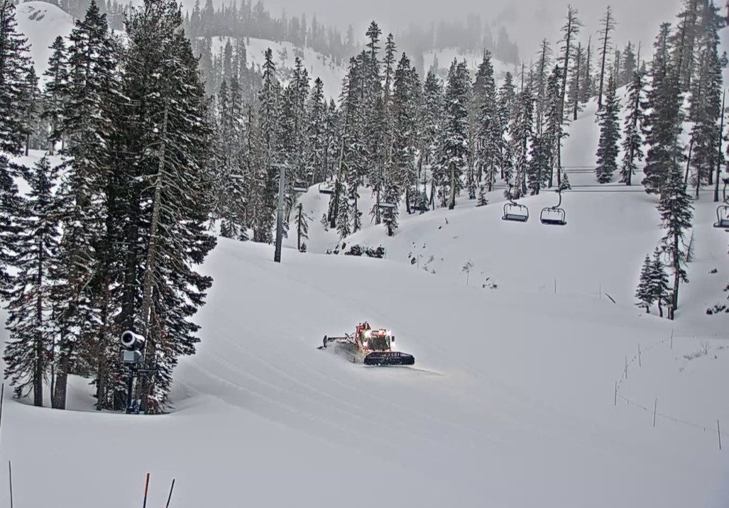
Snowfall Report:
The snow showers on Wednesday and Wednesday night dropped a fresh inch at the base, 5 inches near mid-mountain, and 8 inches up top. That brings the 5-day total to 11 inches on the upper mountain.
Thursday Snow Showers:
We are seeing a bit of a lull Thursday morning with a few scattered snow showers around and temperatures in the teens and 20s. We will see a final band of snow showers move through from north to south during the day and clearing out by evening.
Highs in the 30s for the lower elevations and 20s for the peaks. The precipitation totals from the final band of snow showers look to be fairly light with 1-3 tenths of an inch falling. That’s enough for a final 1-3 inches of snow on the mountain.
Friday – Sunday Weather:
High pressure builds in over California and Nevada for the weekend bringing us a drier pattern and sunny days. Highs in the 30s on Friday and 40s over the weekend. It should be beautiful weather after the refresh of the slopes from the storms this week.
Monday – Tuesday System:
The trend for the Monday – Tuesday system to split continues, with the southern piece spinning up into southern CA. As the trend south continues, it is a drier and milder forecast. The latest model runs now show a few showers possibly reaching us Monday afternoon through Tuesday, but a little sun is also possible between the clouds.
With the coldest air at the center of the low staying to our south, the snow levels could stay above 7000 feet in the 7300-8300 ft. range Monday through Monday night, and then dropping to around 6000-7000 ft. by Tuesday evening as some colder air works in.
That means a few rain showers possible for the lower elevations, and a few snow showers with a dusting to an inch of snow possible on the mountain. Highs in the 40s on Monday and 30s on Tuesday.
Bigger Storm:
A bigger storm is still on track to move into CA Tuesday night into Wednesday, with snow showers possible into Thursday before the storm clears out.
We will likely see heavy snow and strong winds with a classic Tahoe storm on Wednesday. I’ll start to put out a detailed snowfall forecast on Saturday as the storm moves into the 5-day window. The latest model runs still show enough precipitation for around 1-3 feet of snow falling over the Tahoe Basin.
The snow levels continue to look like they will stay below the base with this storm. I’m still hopeful this will be the one bigger storm of the first half of March.
Active Pattern Continues:
The long-range models show additional but smaller storms possible next Friday the 14th and another storm or two through the 17th-18th of March. We’ll continue to watch the trends on those as well.
Long-Range Forecast:
The longer-range models continue to show high pressure starting to build near the West Coast of California beyond the 17th-18th. That could bring us a drier pattern as the storm track is bumped farther north into the Pacific NW during the 3rd week of March, and possibly into the last week of the month.
There are always chances for storms to brush us on the southern edge, or for cut-off lows to develop and drop south into CA as we go through spring. We’ll see…
BA
