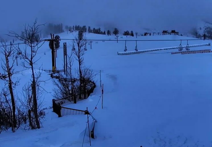
Wednesday – Thursday:
We have two days left of spring weather with sunny skies and milder temperatures on Wednesday and Thursday. Highs into the 50s for the lower elevations and 40s for the higher elevations.
Friday Weather Shift:
Increasing winds on Friday with partly sunny skies and increasing clouds through the afternoon. Ridgetop winds gusting up to 60-70+ mph by afternoon. Highs in the 40s. Some rain showers are possible during the afternoon.
Friday Night – Saturday Night Storm:
The latest model runs show the band of heavier precipitation associated with the cold front moving in pretty quickly Friday evening, with heavy precipitation expected into early Saturday morning. Snow levels start up around 7000-7500 ft. Friday evening and then fall to the base by midnight, and down near 4500-5000 ft. by Saturday morning.
Saturday morning we could see a lull in the snow as the front moves to our south, and we have a gap before the center of the low-pressure system moves onshore later in the day into Saturday night. That will bring another round of snow and snow showers, not as heavy as what we saw with the front Friday night.
Highs in the 30s for the lower elevations Saturday and 20s for the higher elevations. The west winds could continue to gust up to 50-60+ mph through the day. Snow levels hovering around 4500-5500 ft, then falling Saturday night to 3800-4300 ft.
By Sunday morning we could see snowfall totals of around 9-14 inches at the base, 14-20 inches near mid-mountain, and 18-24 inches up top. Up to two-thirds of that could fall by Saturday morning, with the rest falling by Sunday morning.
Sunday – Monday:
Sunday we will still have some scattered snow showers around, especially in the morning, as the storm moves out. We should also see partly sunny skies by afternoon. Highs in the 30s with lighter winds.
The latest model runs have trended the weak system moving through on Monday farther north, mostly missing the Sierra. We could see partly sunny skies again with a few scattered snow showers. Highs in the 30s.
Long-Range Forecast:
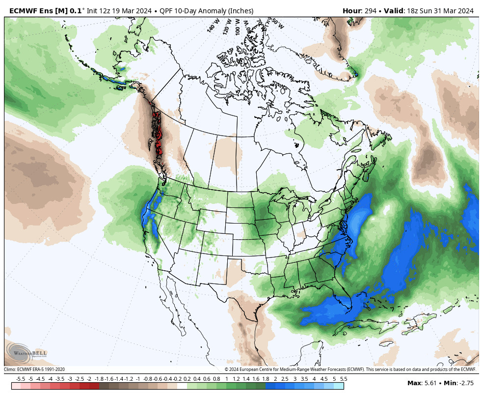
The long-range models continue to show troughs digging into the West Coast through the 30th. That will keep the colder temperatures over the region and will keep the door open to additional storms. The next storm is on track to move into the West Coast between Tuesday and Wednesday the 27th. We’ll continue to watch the trends on the timing and strength of this storm.
We could see a break between storms next Thursday the 28th. Then a final storm is still forecast to move through around the 29th – 30th. Overall the ensemble mean models continue to show below-average temperatures and above-average precipitation through the last week of March, as winter returns.
By the last day of March into the first week of April high pressure may build in the eastern Pacific near the West Coast. That should bring a drier pattern to the West Coast to start April.
BA