

Tuesday – Wednesday Weather:
High pressure over CA will bring mostly sunny skies and milder temperatures on Tuesday. Highs into the 50s for the lower elevations and 40s for the upper elevations.
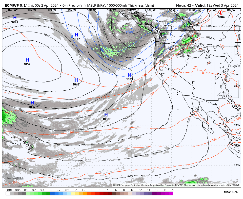
Increasing clouds and winds through the day on Wednesday. Southwest gusts up to 60-70+ mph by evening, which could close some upper mountain lifts during the afternoon. Highs are still in the 50s. We could see some rain showers reach the mountain by late afternoon, with snow levels up around 8500-9000 ft.
Wednesday Night – Friday Storm:
The steadiest precipitation is expected with the cold front moving through Wednesday night. Then showers and scattered showers for Thursday through Friday as the low-pressure center behind the front drifts south through CA. The gusty winds will continue into Thursday but drop through the afternoon. Then lighter winds for Friday. Highs drop into the 30s for both days.
Snow levels start very high Wednesday evening, up around 8500-9000 ft, but they crash Wednesday night, down to around 6300-6800 ft. by 11 PM and 4000-4500 ft. by 5 AM. They could reach the base by midnight. Then snow levels could stay below the base on Thursday & Friday.
With half or more of the precipitation forecast to fall Wednesday night, the snowfall forecasts are tricky as the snow levels are falling 3000 ft. as the steadier precipitation is falling.
1-5 inches of snow are possible by Thursday morning, increasing from the base up to the upper mountain, and then Thursday – Friday an additional 1-5 inches may fall in total depending on where the snow showers move through. That would bring storm totals by Saturday morning around 2-5 inches at the base, and 5-10 inches on the upper rmountain.
The Weekend:
The cold and unsettled pattern remains over the region for the weekend. Highs remain in the 30s with lighter winds. Weak systems moving through will bring scattered snow showers both Satuday and Sunday as well as partly sunny skies between the showers.
Some models show up to a few tenths of an inch of total precipitation over the weekend, with a dusting to an inch of snow possible on the mountains each day from showers, but the WPC’s blended model forecast looks dry overall. Not enough to warrant a snowfall forecast.
This weekend is the WinterWonderGrass Music Festival at the base of the mountain. It is always fun to watch the shows with the mountain in the background and some flakes falling in the lights at night to add to the ambiance!
Next Week:
The long-range forecast models continue to show high pressure building in next week bringing back a drier and milder pattern starting on Monday. We should see a lot of sunny skies throughout the week. Highs warming into the 40s by Monday and then 50s for the lower elevations by Tuesday.
Some models show a storm in the Pacific trying to hold together enough to bring moisture into CA around the 11th-12th, which could bring some afternoon convective showers. Outside of that it should stay fairly dry through the 15th.
Long-Range Forecast:
The long-range models continue to show the ridge shifting east around mid-month with a trough digging into the West Coast during the 3rd week of April. That could open the door to weak systems moving through the region along with colder air.
We’ll continue to watch the trends to see if we could refresh the slopes a few more times with a little snow before the end of the month.
BA
