Cold & Snowy May Storm:
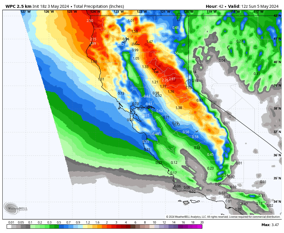
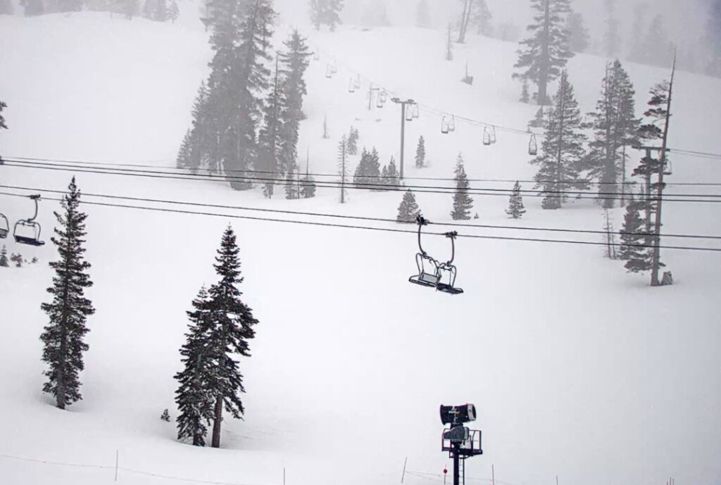
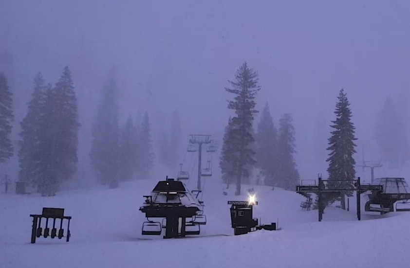
The latest model runs show rain & snow showers reaching the Tahoe basin by mid-morning on Saturday with the precipitation spreading east and increasing in intensity through the afternoon. The southwest winds will be gusting up to 90-100+ mph over the ridges closing some ski lifts.
The snow levels start out up around 7500-8000 ft. as the showers start, but are expected to fall quickly to the base by late morning and continue to fall into Saturday night as the snow continues and snow showers linger into the early morning hours. Highs in the 30s on Saturday.
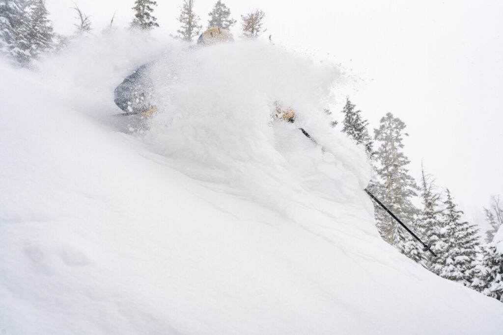
This storm is very wet, very cold, and very snowy for a May storm. Snow ratios start low on Saturday with the rain for the lower elevations to start, but on Saturday night snow ratios could jump up to 14-18:1 on the mountain. That’s fairly high, and really high for May, with some powdery snow expected on the upper mountain.
By Sunday morning we could see storm totals of around 9-14 inches at the base on colder surfaces, 13-18 inches near mid-mountain, and 15-21 inches up top.
Sunday Weather:
We will have mostly sunny skies with a strong sun on Sunday and highs into the 30s. So you’ll want to hit the snow as early as possible as any drier snow up high will start to settle and become wetter as the sun hits it. The winds will drop off for a much nicer day for skiing.
Drier Pattern:
We are expecting a drier pattern starting Sunday through the long range. We’ll have the cold trough over the West next week so highs will slowly warm into the 40s on Monday and 50s on Tuesday, and may stay there most of the week.
Eventually the trough shifts to the Eastern U.S. with a warmer pattern expected for the West as we go toward mid-month. So it seems that after this cold May storm on Saturday, we are headed back toward more typical May weather. Afternoon showers are always possible over the mountains in May, so we’ll keep an eye out for those.
My final forecast post will be on Sunday after the storm.
BA


