

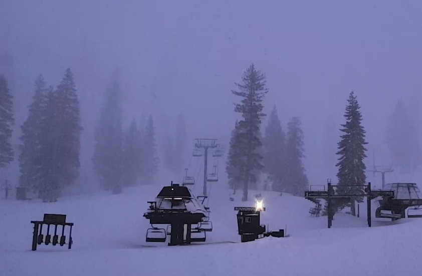
Snowfall Report:
We saw lighter rain & snow showers on Sunday. They increased overnight, with snow levels falling to the base overnight. As of 6 AM, we have received 5 inches so far at the base, and 15 inches up top. A great start to this storm, with a lot more on the way through Tuesday!
Monday-Tuesday Snowstorm:
The ridgetop winds are gusting up to 100+ mph over the ridges. That will close quite a few upper mountain lifts for Monday. The moisture will continue to flow into the region Monday with a cold front moving through and dropping snow levels even lower into Monday night. That will help to increase the snow ratios and accumulations.
The center of the low-pressure system off of the Pacific NW coast will move through northern CA on Tuesday, bringing another surge of moisture, and then snow showers into Tuesday evening. Highs near freezing at the base on both days and 20s for the upper mountain. The winds could still be gusting up to 50-70+ mph from the west over the ridges Tuesday morning and then 30-50+ mph by afternoon.
The forecast models have been trending wetter with this storm as well as colder. They show enough precipitation Monday and Tuesday to bring us as much snow as I had forecast for the entire storm, including Sunday. By Wednesday morning, we could see an additional 23-29 inches at the base, 27-34 inches near mid-mountain, and 32-39 inches up top!
What’s special about this storm, that we have not seen much this season, is that colder air is filtering in during the heaviest part of the storm Monday into Tuesday, with snow levels already to the base Monday morning. Cold air and orographic lift are how we get big powder dumps. The center of the low moving through the region on Tuesday hasn’t happened much this season either.
Wednesday – Thursday Weather:
The low-pressure system dropping down the coast on the forecast model runs a few days ago has disappeared as it stays well north, but enough moisture in the atmosphere over the region on both days could spark off afternoon convective snow showers over the mountains.
I’m not expecting much in the way of snowfall, just snow showers possible. Outside of that, we should see partly – mostly sunny skies both days with highs into the 30s, and lighter winds.
The Weekend:
Highs pressure is still forecast to build in over the West Coast for the weekend, bringing us a drier and milder pattern. We should see sunny days starting Friday, with highs warming into the 40s for the lower elevations and warming into the 50s by Sunday, with 40s for the upper mountain.
Next Week:
High pressure is forecast to anchor in over the West next week, through at least the 11th – 12th. That should continue the drier and milder pattern. Some model runs show a weakening system trying to sneak in next Monday, but overall, a much drier pattern is expected after today’s storm.
Long-Range Forecast:
The long-range models continue to show the ridge weakening and shifting east beyond the 12th, with troughing near the West Coast. That could open the door to some weaker spring storms near mid-month.
We’ll keep an eye on that and any other chances for snow through the end of April.
BA
