Snowfall Report:
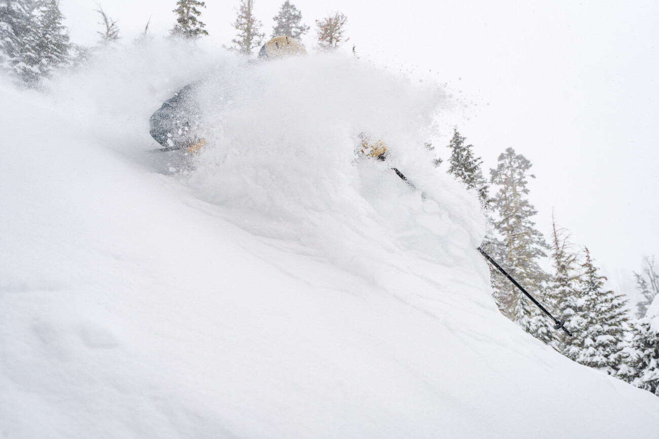
An additional 12 inches fell at the base and 14 inches up top during the final day of the storm on Tuesday. That brought the final totals for the storm to 25 inches at the base and 44 inches up top! The season total is now at 376 inches, which is right about at average for the beginning of April.
Wednesday – Thursday Weather:
We are heading into a much quieter weather pattern, but that doesn’t mean we are going into a dry pattern. We will see some sun on Wednesday and Thursday with lighter winds. Highs are only in the 30s.
But there is still enough moisture around that the daytime heating will create some afternoon snow showers over the mountains. They should be scattered and light, and usually some of the snow falls in the form of graupel.
Under any showers, snow levels could drop to near the base, and the mountain could pick up a quick coating of snow.
Friday – Sunday Weather:
High pressure builds in over the West Coast into the weekend, bringing us a drier and milder pattern. Highs into the 40s for the lower elevations on Friday and higher in elevation on Saturday. Then into the 50s for the lower elevations on Sunday.
Sunday Night – Monday System:
Sunday night into Monday, the latest model runs continue to show us barely getting brushed by the southern edge of the next storm moving into the Pacific NW. The snow levels could start above 8000 ft. Sunday night and then fall near the base by the end Monday afternoon. Highs into the 40s.
Most of the latest model runs show barely any precipitation reaching the Tahoe basin and south. At best, I think we could see some showers and maybe a light coating of snow on the mountain. We’ll continue to watch the trends.
Spring Weather:
Beyond Monday, we are expecting to see strong high pressure build in over the West, bringing us a dry and even milder pattern.
Highs will likely warm into the 60s for the lower elevations by the middle of next week, with 50s for the upper mountain. It’s time for some spring skiing on soft snow after all of the new snow that fell at the beginning of April. This pattern could last through at least the 11th.
Long-Range Forecast:
The long-range models continue to suggest that the ridge weakens and shifts east between the 12th – 14th, with troughing over the West Coast. That could open the door to some weak systems during this period. The ensemble mean models show only light precipitation through the 15th.
We’ll continue to watch the trends. The pattern could trend drier again beyond mid-month.
BA


