Friday – Saturday:
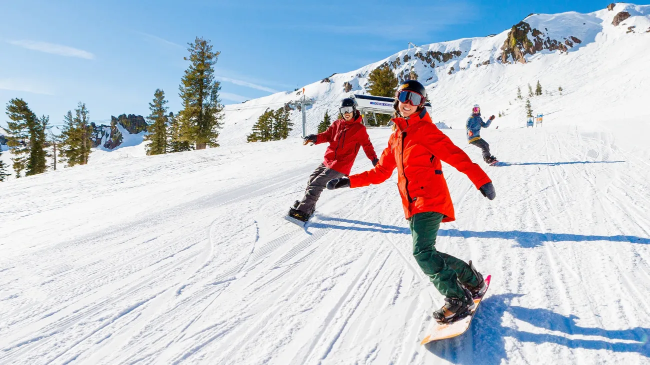
Overnight a cold front moved through and it will be colder for Friday into Saturday with highs only in the 30s under sunny skies.
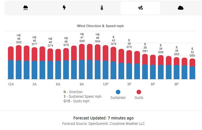
Gusty northeast winds Friday into Saturday are going to make it feel even colder. Ridgetop gusts up to 80+ mph for Friday & Saturday. That could/should close some upper mountain lifts. Then the winds start to come down later Saturday into Saturday night.
Sunday – Friday:
The winds are lighter starting Sunday with ridgetop gusts only up to 30+ mph. High temperatures rebound into the 40s with sunny skies. That weather should continue through the end of the week.
Long-Range:
Our weather pattern is still forecast to shift around the 28th into the first week of February, with the high-pressure ridge shifting off the West Coast and a trough digging into the West. That could allow a weak system into the northern Sierra the 2 days of the month and hopefully some wetter systems during the first week of February.
The forecast models are flip-flopping on any systems before the end of the month so we’ll keep an eye on that, but it could stay dry. Then the models suggest a better chance for a few systems to move through during the 1st week of the month.
We will continue to watch the weather pattern trends as we get closer. Hopefully, February will be a lot snowier than January was. We will keep you updated and let you know as soon as we see fresh snow returning.
BA

