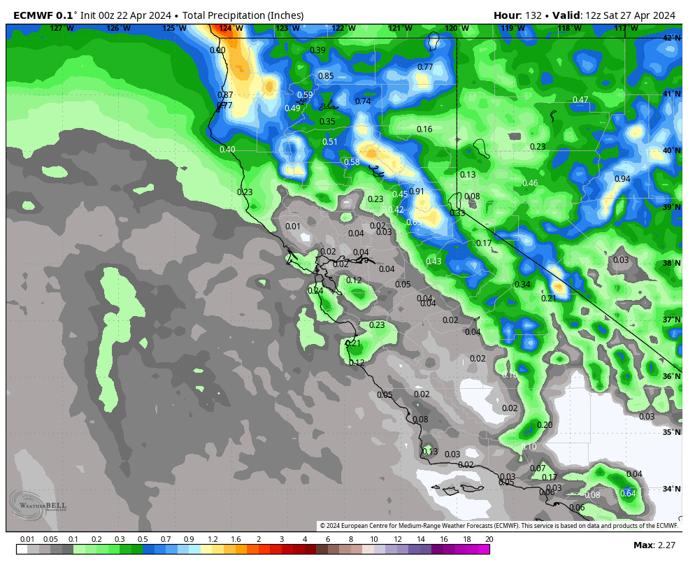
Tuesday Storm:
The next storm pushes snow showers back in by later Tuesday morning, with steadier snow through Tuesday afternoon. Scattered snow showers Tuesday night could continue Wednesday into Wednesday night, but with only very light accumulations expected. We could also see the sun peek out between showers Wednesday.
The winds turn to the southeast Tuesday and gust up to 50-60+ mph up top. Then falling through the afternoon and turning back to the west Wednesday. Highs into the 20s up top and 30s at the base on both days. Snow levels stay below the base.
1-4 inches of snow is expected to fall Tuesday, with an additional 0-2 inches possible Tuesday night – Wednesday night. Here is the final forecast for 2-day snowfall totals expected by early Thursday morning.
- 1-4 inches at the base.
- 2-5 inches at mid-mountain elevations.
- 3-6 inches up top.
Thursday – Friday Snow Showers:
Additional weak systems move through Thursday through Friday night. We could see scattered snow showers both days along with the sun peeking out at times. Highs into the 20s up top and 30s at the base. Lighter winds are expected through Friday.
We are only expecting very light amounts of snow possible each day. Here is the updated snowfall forecast for possible totals over the 2-day period by early Saturday morning.
- 0-2 inches at the base.
- 1-3 inches at mid-mountain elevations.
- 2-4 inches up top.
Weekend Snow Showers:
A mix of sun and clouds continue through the weekend with highs in the 20s up top and 30s at the base, along with lighter winds. We could see scattered snow showers move through at times. Only expecting a dusting to an inch of snow on the mountain on both days at best.
Long-Range:
The storm door is forecast to remain open through the last week of March and into the 1st week of April, but we are into the spring pattern and stronger storms will be harder to come by. We could see some cut-off lows form and move south into CA during the period, but they are very hard to forecast more than a few days out.
The next chance of a storm looks to be around the 29th, with another storm possible around the end of the month into the 1st weekend in April. If the cut-off lows move over the Sierra and move slowly enough, they can produce significant snowfall. So we’ll continue to watch the trends closely as we get closer.
Overall temperatures are expected to stay below average and the pattern is expected to remain unsettled through the first week of April.
BA

