

Sunday Weather:
One more day of the sun and mild temperatures for Sunday. Highs into the 40s. Ridgetop winds gusting up to 30-40+mph from the southwest by afternoon.
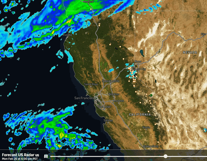
Monday Storm:
The latest forecast model runs have slowed the arrival of precipitation until Monday morning, reaching the mountain around 4-7 AM and then spreading east. Scattered showers lingering into Monday night before tapering off by early Tuesday morning.
Snow levels still look to hover near to just above the base on Monday, between 6000-7000 ft., with any heavier showers dragging toward the lower end. Then dropping below 6000 ft. Monday night behind the cold front. Ridgetop winds on Monday will be gusting over 100 mph, so expect a lot of upper mountain lift closures.
The snowfall forecast has trended down another inch this morning due to the downward precipitation trends on most models. The GFS & ICON models only have up to 1 inch of snow over the mountain now, with the wettest models showing up to 7 inches. Taking an average we could see 0-3 inches near the base, 1-4 inches near mid-mountain, and 2-5 inches up top by early Tuesday morning.
Tuesday – Wednesday:
We will see the winds drop on Tuesday and the sun come out, with mostly sunny skies for Wednesday. Highs in the 30s for Tuesday, and then 30s on the upper mountain and 40s for the lower elevations near the base for Wednesday.
Thursday – Saturday Storm:
The latest model runs are showing the snow from the next storm moving in by Thursday afternoon, and they have sped up the departure to Saturday night, with some scattered snow showers possible for Sunday.
The latest model runs are still showing some impressive precipitation totals by Sunday, around 3-5 inches near the crest on the ensemble mean models. We will see strong winds for Thursday and Friday with ridgetop gusts over 100 mph, so expect some lift closures and storm skiing until Saturday when the winds look to come down.
Snow levels look to start near to just below the base and hover in the 5000-6000 ft. range through Friday, and then dropping lower on Satuday as colder air works in. That means we are expecting all snow to the base as of right now. I’ll have my first snowfall forecast out tomorrow, but based on the latest model runs we could see a general 3-5 feet of snow on the mountain by Sunday.
Long-Range Forecast:
The week of the 4th the ensemble mean models are trending toward the idea of the troughing to be centered farther east over the Rockies. That may keep temperatures on the cooler side and the door open to weaker storms, but they would likely take a drier track if we see any.
We’ll continue to watch the trends, but we have a lot of work to do over the next week tracking the strong storm headed our way for late week.
BA
