Monday – Tuesday:
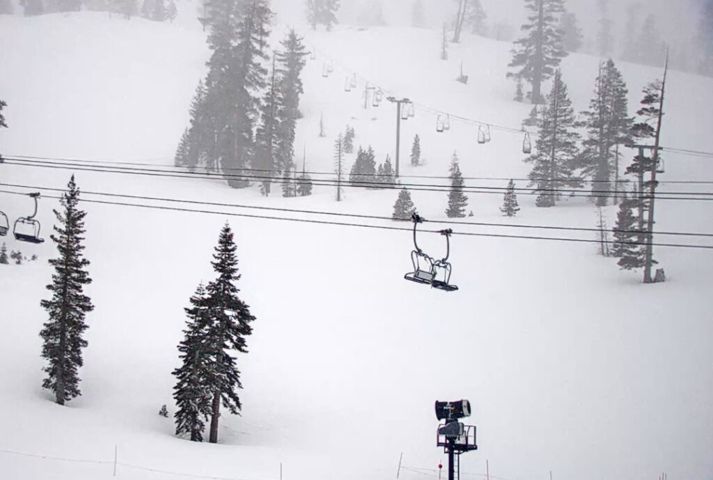
Mostly sunny skies are expected for Monday. Highs into the 30s on the mountain. Southwest winds with gusts up to 60+ mph up top through Tuesday. That could possibly affect some upper mountain lift operations. Increasing clouds Tuesday with highs in the 30s on the mountain.
Tuesday Evening – Wednesday Night:
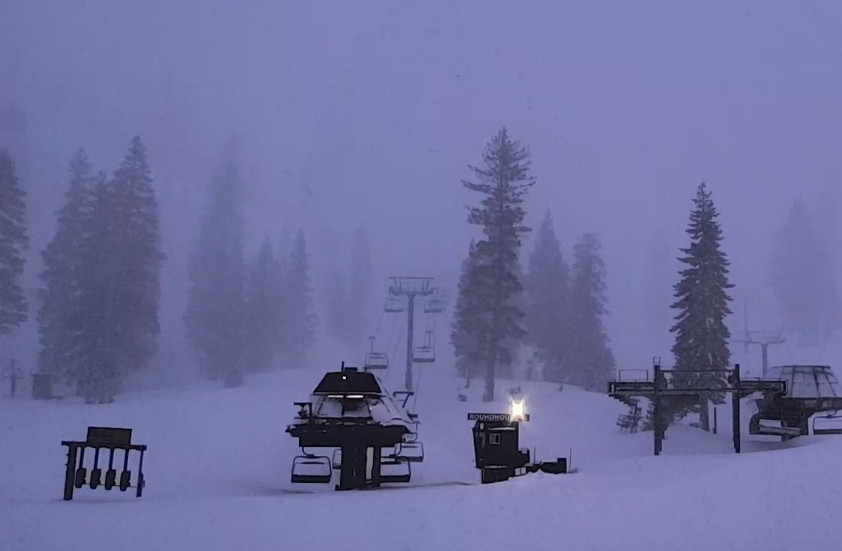
By Tuesday evening we should see rain and snow move in. We have a warmer period Tuesday night through Wednesday night. This first system is warmer and starts weak Tuesday night. Snow levels around 6500-7000 ft. Tuesday night with maybe 1-4 inches of wet snow above that on the by mountain by Wednesday morning.
The gusty winds continue up top with gusts to 90+ mph from the southwest Wednesday up top, likely closing some mountain top lifts. Snow levels continue to rise it Wednesday night and could peak around 7200-7700 ft. before coming back down to around 6500-7000 ft. by Thursday morning.
The precipitation intensity picks up Wednesday into Wednesday night. Heavy wet snow is expected to pile up on the mountain above 7000-7500 ft. We could see 1-2 feet of new on the upper mountain by Thursday morning, with just rain expected at the base and part of the lower mountain, with a mix in the middle with a few inches of snow possible above 6500-7000 ft.
Thursday – Friday:
We won’t see a break between the warmer storm leaving Wednesday night and the colder storm moving in Thursday through Thursday night. The gusty winds continue with mountain top gusts continuing to be up to 100+ mph closing some upper mountain lifts. Highs dropping into the 20s Thursday on the upper mountain. The snow levels look to drop below the base by Thursday afternoon and beyond.
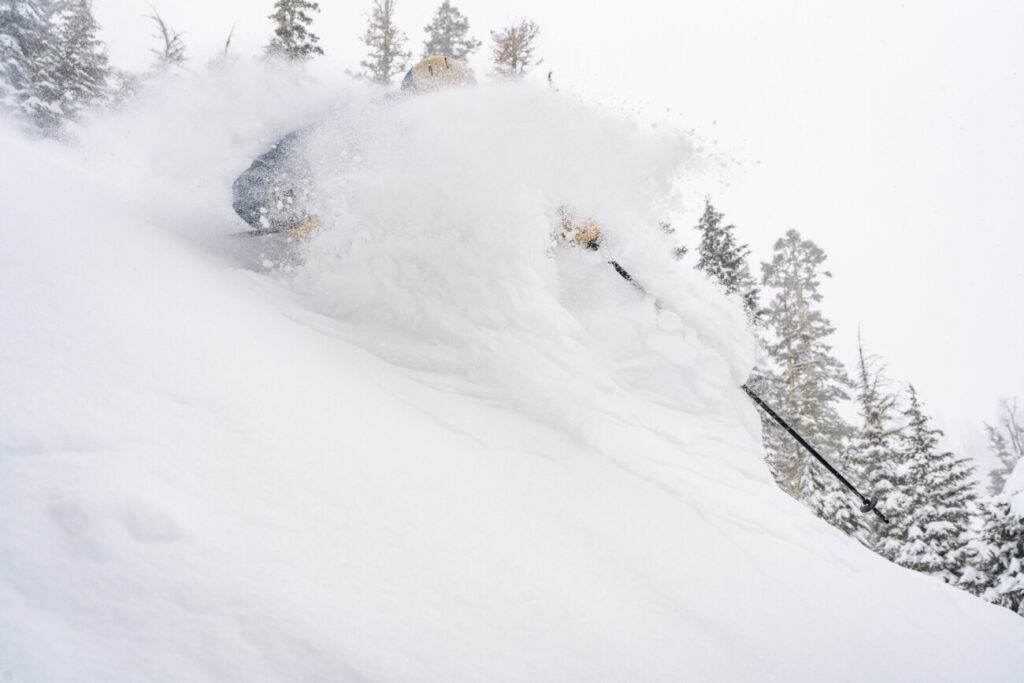
The snow could be heavy at times through Thursday night. Then things may wind down for a little while Friday morning and possibly into Friday afternoon with just lighter or scattered snow showers possible. Snow levels crash Thursday night below 3000 ft. which means cold powdery snow starts falling on the mountain. Highs drop into the 20s at the base Friday and teens up top.
Unfortunately for Friday the winds still look strong as more storms are approaching. Mountaintop gusts could continue to be up to 90+ mph from the southwest. That could continue to close some upper mountains lifts. By Friday morning we could see 6-12 inches of snow at the base and 1-2 feet of additional snowfall on the mountain, and then 1-3″ for Friday during the day.
The Weekend:
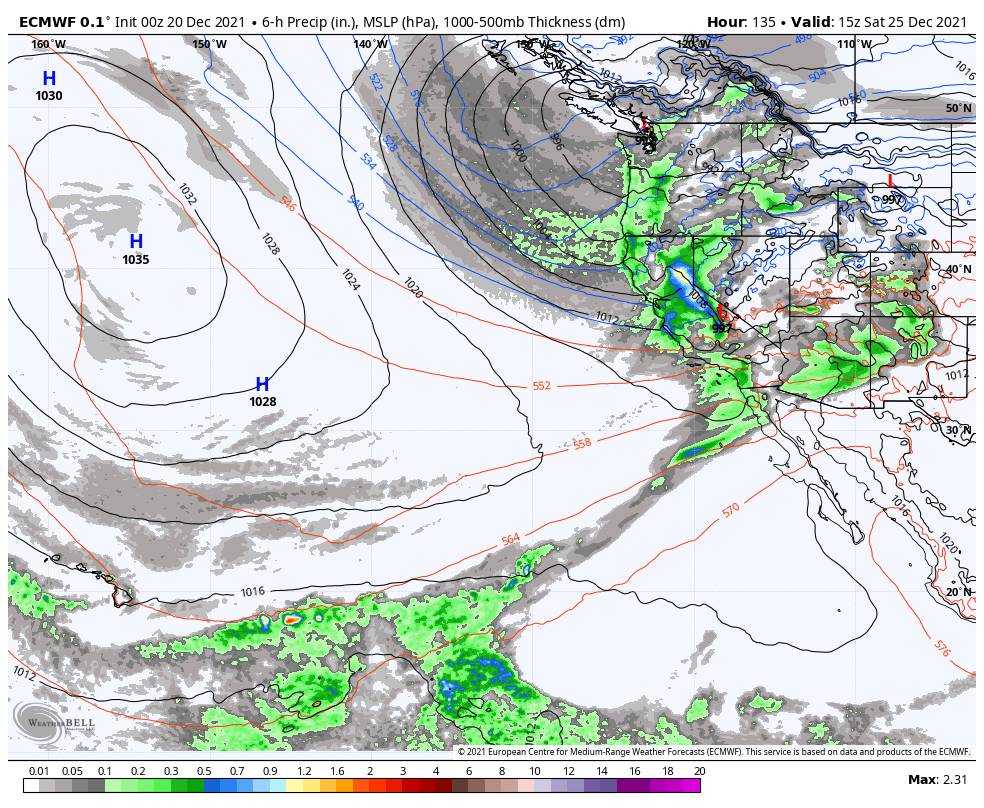
If you thought 2-4 feet of new snow wasn’t enough I have good news. Friday night through Sunday night another cold storm moves through slowly and should continue to bring snow to the mountain through the upcoming holiday weekend. The only bad news is that gusty winds could continue up top.
The snow could be steady with little break Friday night through Sunday night with snow levels staying below 4000 ft., 2000 ft. below the base. Highs in the 20s through the weekend. That will mean the snow that falls will continue to be powdery and will pile up more easily with the cold fluff factor from the high snow ratios.
We could see an additional 2-4 feet of snow at the base and 3-5 feet on the mountain. A week from now there should be plenty of snow on the mountain if the forecasts pan out as they currently look. In total up to 5-9 feet of new snow is possible on the upper mountain by Monday the 27th, and 2.5-5 feet at the base.
Long-Range:
The storm door looks to stay open, with another storm possible for Monday the 27th into the 28th. Some forecast models suggest this system could be weaker or barely brush us. So we will keep watching it closely.
Then we could shift into a drier pattern around the 28th through the first few days of January. We’ll keep an eye on that as well.
BA


