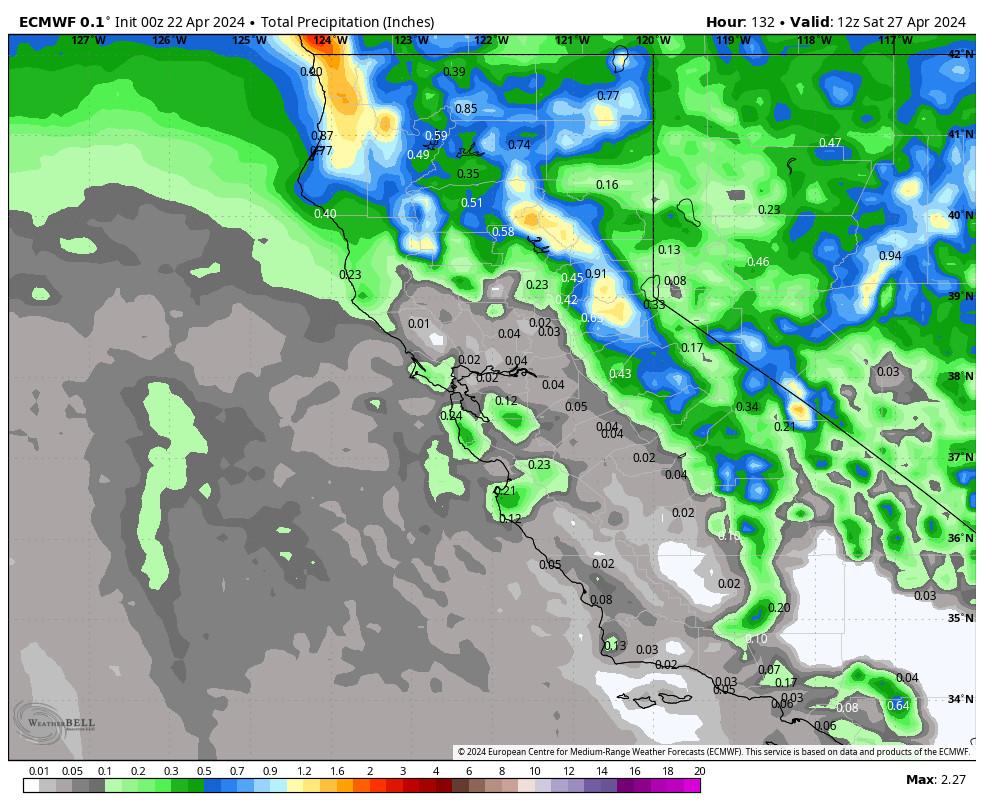
Friday Weather:
Mostly sunny Friday with highs in the 40s.
Weekend Winds & Snow Showers:
Partly sunny to start both Saturday and Sunday, and gusty winds on both days. Highs into the 30s to near 40 degrees down at the base. Ridgetop winds from the southwest gusting up to 60-70+ mph both days as storms approach and move through. That could close a few upper mountain ski lifts.
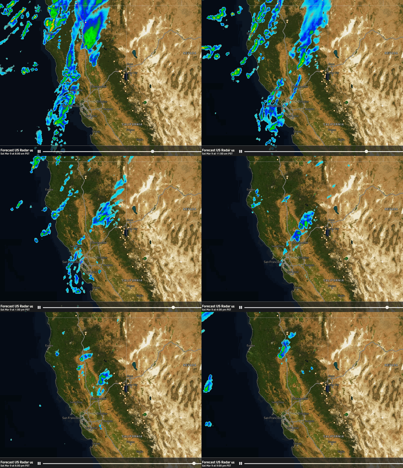
Precipitation with the Saturday system falls apart as it reaches the northern Sierra Saturday afternoon-evening. We could see a scattered snow shower or two, but only a dusting of snow is expected at best as very little precipitation is expected to fall in total through Saturday night.
Sunday afternoon snow showers move in again, but this storm will dig a bit farther south with better forcing and we should see snow showers spread across the Tahoe basin by evening. Snow levels could start around 6500-7500 ft., so some rain showers are possible below 7k’ down to the base, then falling below the base Sunday evening.
Sunday Night Snow:
Steadier snow is expected Sunday night as the front moves through. It’s a fast-moving system that will wind down to snow showers by Monday morning. Snow levels Sunday night drop to 4000-4500 ft. by early Monday morning. Snow ratios start low and increase to 10-15:1 by Monday morning.
By Monday morning we could see snowfall totals of around 1-4 inches near the base, 2-6 inches near mid-mountain, and 3-7 inches on the upper mountain.
Monday Weather:
The latest model runs continue to show more of a break between storms for Monday. We could see some snow showers in the morning and then partly sunny skies by afternoon. Highs in the 30s. The winds may dip briefly between storms during the day on Monday.
Monday Night – Tuesday Storm:
Monday night into Tuesday the second system moves through. The heaviest snow is expected later Monday night into Tuesday morning, with snow showers into Tuesday afternoon. Then clearing Tuesday night. Highs in the 30s. Gusty west winds up to 60-70+ mph into Tuesday morning and then falling through the afternoon.
Snow levels rise up to around 6200-7200 ft. by Monday evening as we see a break between the storms. Then falling below the base later Monday night as the next storm moves in. Snow ratios averaging around 7-13:1 for the storm from the base up to 8000 ft.
By Tuesday night we could see storm totals of around 3-7 inches at the base, 5-9 inches near mid-mountain, and 6-11 inches on the upper mountain. In total for the 3 days, we could see totals of 9-18 inches on the upper mountain.
Drier but Windy:
Wednesday we start to see high pressure build in over the West Coast. We will see mostly sunny skies through Friday. Highs into the 30s on the mountain and 40s for the lower elevations near the base. Wednesday looks like a nice day.
Then Thursday into Friday we could see a tightening pressure gradient between the high-pressure ridge building over the Pacific NW and low pressure over the SW. That could bring gusty northeast winds for Thursday and Friday making it feel colder than the air temperatures.
Milder Pattern:
By the weekend of the 16th-17th strong high pressure will be over the region. That will continue the dry pattern with mostly sunny skies expected each day through the 3rd week of March, and well below average precipitation. The temperatures will become milder with highs into the 40s on the mountain by the weekend of the 16th-17th and 50s for the lower elevations near the base.
Long-Range Outlook:
Looking out into the last week of March, there are some signs that the high-pressure ridge will start to weaken. As far as storms, the operational modes suggest a weak system is possible around the 23rd-24th.
We’ll continue to watch the trends through the end of March into April to see if we will get some late-season snowstorms.
BA

