Skip to content
Palisades Tahoe Logo Palisades Tahoe Logo Palisades Tahoe Logo
Explore
Main Menu
  • Explore Palisades Tahoe
  • Base to Base Gondola
  • Our New Name
  • Explore Legendary Lifts
  • Palisades Tahoe Blog
  • About Lake Tahoe
  • About Us
Plan Your Visit
Main Menu
  • Tickets & Passes
  • Lodging
  • Lessons & Guides
  • Deals & Packages
  • Rentals & Demos
  • Travel Here
  • Getting Around
Mountain Information
Main Menu
  • Snow and Weather
  • Lift and Grooming Status
  • Webcams
  • Hours of Operation
  • Trail Maps
  • Parking & Road Conditions
  • Snowfall Tracker
Events & Activities
Main Menu
  • Events Calendar
  • Activities
  • Dining & Apres
  • Shopping
  • Things To Do In Lake Tahoe
  • Groups, Meetings & Weddings
  • Ski & Snowboard Teams
IKON PASS HOLDER LODGING DISCOUNT

Ikon Pass holders save up to 20% on slopeside lodging at The Village at Palisades Tahoe.

SLOPESIDE LODGING
Icon / FlashCreated with Sketch.
View All Offers
  • Weather

Unsettled Week with A Few Showers Possible

  • Dec 19, 2022
  • 8:06 am

Monday:

We have some strong inversions happening most mornings. That is bringing low clouds and valley fog. Temperatures are in the teens at the base and 30s up top again Monday morning. 

Mostly cloudy skies are expected for Monday. Highs in the 30s. Breezy winds from the west gusting up to 30+ mph up top by Monday afternoon.

Tuesday System:

Mostly cloudy skies and breezy winds with the chance of a few snow & rain showers from early Tuesday into Tuesday night. Winds gusting up to 40+ mph up top from the west. Highs in the 30s.

Snow levels could be near the base Tuesday morning and then could rise above 7000 ft. during the afternoon, and possibly above 8000 ft. Tuesday night. That means we could see some rain showers at the base & lower mountain Tuesday afternoon and evening.

Above 7500 ft. we could see a coating to an inch of snow by Wednesday morning.

Wednesday – Thursday:

We could still have some clouds and a few showers around into Wednesday morning. Then we are expecting skies to start clearing some with partly sunny skies by afternoon. Ridgetop winds still gusting up to 40+ mph up top. Highs in the 30s on the mountain to near 40 degrees at the base.

For Thursday we are expecting partly sunny skies. Highs in the 30s on the mountain to near 40 degrees at the base. We could see lighter winds up top for Thursday.

Friday System:

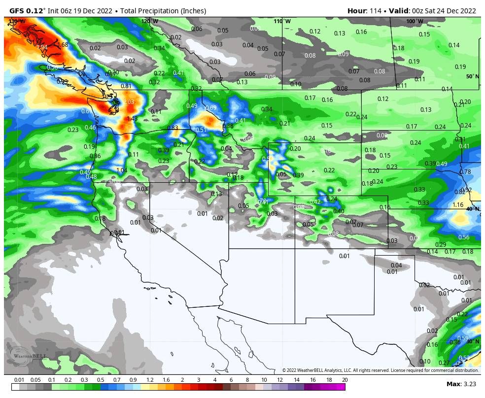
High pressure will be building over CA through Friday. The next storm moves inland to our north on Friday. Most forecast models keep any moisture to our north, but a few suggest some light showers could reach the northern Sierra.

Higher-elevation snow showers are possible above 8000 ft, and maybe a few rain showers reaching the lower mountain. If the system stays to our north we could see partly sunny skies again. Highs in the 30s on the upper mountain and lower 40s at the base.

Christmas Weekend:

Strong high-pressure builds in over CA for Christmas weekend. That should bring us sunny skies and some milder temperatures. Highs into the 40s on the mountain for the weekend and maybe 50s at the base for Christmas Day.

Long-Range:

The dry pattern may last into Monday the 26th. Then starting the 27th through the end of December, the long-range models are showing a shift to a wetter pattern. Storms tracking into the Pacific NW look to dig farther south into CA and the northern Sierra.

We’ll continue to watch this trend to see if we could pick up some stronger storms and snow on the mountain during the last 5 days of the month.

BA

lake tahoe weather palisades tahoe weather forecast snowfall forecast
Bryan Allegretto
Bryan Allegretto

Share this article:

Recent Posts

  • Weather ·
  • February 8, 2023·

Tracking Light Snow for Friday Night

Wednesday – Thursday: Mostly sunny skies through Thursday. Highs into the 30s for the upper mountain and 40s at the…
Read more
  • Weather ·
  • February 7, 2023·

Weak System Possible Fri Night – Saturday

Tuesday – Thursday: Mostly sunny skies with a few clouds possible through Thursday as high pressure builds in over CA.…
Read more
  • Weather ·
  • February 6, 2023·

1-2 Feet of Fresh Snow

Snowfall Report: We definitely saw more than the 8 inches being reported by mountain ops fall on the mountain on…
Read more

Social

Instagram Twitter Facebook Youtube

Contact

   Email Us
   1.800.403.0206

Our Partners

U.S. Forest Service Logo
1960 Olympic Valley Road
Olympic Valley, CA 96146

©2022 Palisades Tahoe

Alterra Mountain Company
  • Privacy Policy
  • Terms of Service
  • Photo Upload Terms of Use
  • Accessibility
  • Do Not Sell My Personal Information
  • Privacy Policy
  • Terms of Service
  • Photo Upload Terms of Use
  • Accessibility
  • Do Not Sell My Personal Information