Mild Pattern Continues:
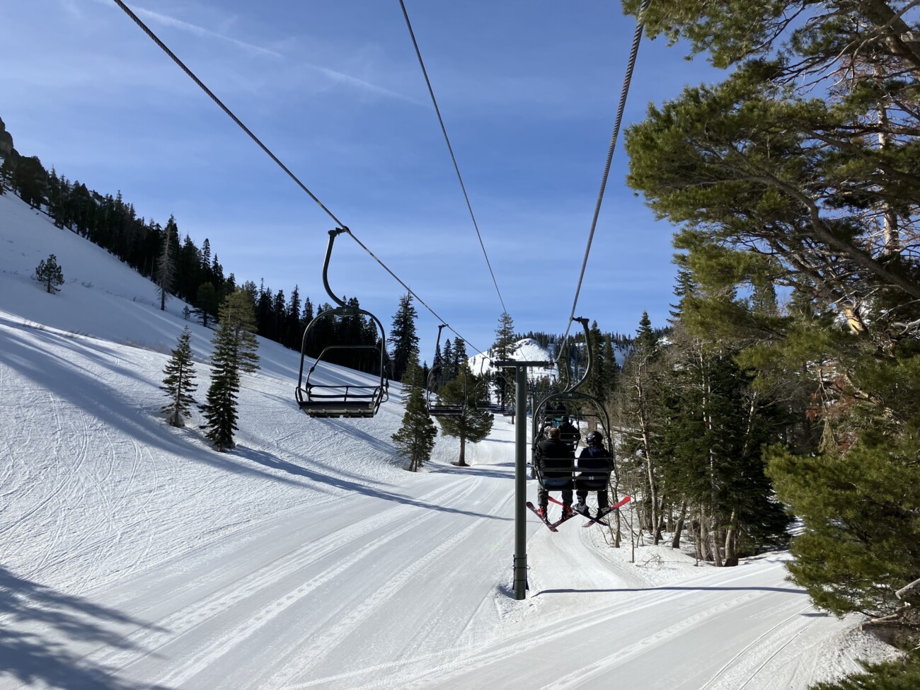
We are in the middle of a drier and milder pattern that will continue into next week. Mostly sunny days with highs into the 60s for the lower elevations and 50s for the higher elevations.
High pressure over the region will be strongest over the weekend. That will bring well above average temperatures with areas near the base possibly getting close to 70 degrees and 60s higher up on the mountain.
Temperatures may start to cool a bit by Wednesday as the next trough approaches the region.
Long-Range Forecast:
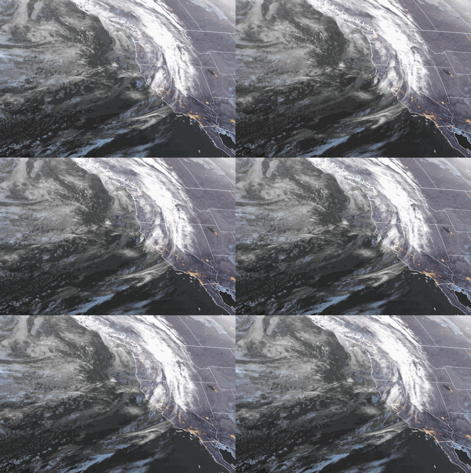
The long-range models continue to show a few troughs digging into the West starting by Thursday through the end of the month, with troughing possibly continuing into the first week of May. That will at least bring in a colder pattern with below-average temperatures to end the month.
It will also open up the storm door, but we are at the end of April into the beginning of May with a weak jet stream that has retreated north, so most storms are usually weak cut-off lows. Any moisture in the atmosphere through the period could bring afternoon showers over the mountain from convection with daytime heating.
The ensemble mean models show the storm track mainly staying north, but a system or two could dip a bit farther south into CA, so we’ll keep an eye out for that. The first could be next Thu-Fri. If a system dips farther south we could have a better chance for some rain and high-elevation snow showers.
BA
P.S. My next post will be Monday and my final forecast post will be Monday the 29th, after the Alpine side closes and we recap the final April and season snowfall numbers.


