

Monday Showers:
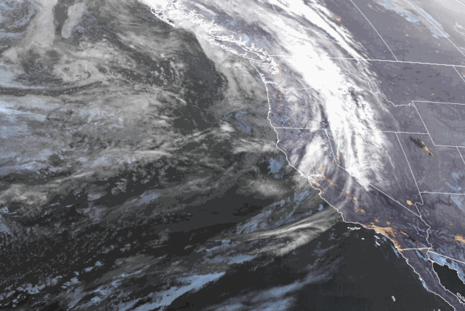
We are catching the southern edge of a system moving through the Pacific NW on Monday. We will see a few showers during the day. Highs in the 40s.
Light precipitation totals are expected with snow levels up near 9000 ft. on Monday and only falling to near 8000 ft. Monday night. So, mostly rain showers are expected.
We will see gusty winds on Monday with ridgetop gusts up to 50-70+ mph from the SW.
Mild Weather:
High pressure builds in over the West starting Tuesday and is quite strong by midweek. That will bring us sunny days and milder temperatures. Highs will be in the 50s on Tuesday and then 60s for the lower elevations for the 2nd half of the week. Spring skiing is in full effect.
Long-Range Forecast:
By the weekend into next week, the high-pressure ridge weakens and shifts east with a weak trough moving through the West Coast, and maybe another trough or two through as we go into the 3rd week of April.
The operational models show a few weak systems that could bring enough moisture to the region through mid-month that some afternoon clouds and showers could pop-up. But overall, we aren’t expecting any notable storms right now and below-average precipitation over the next 2+ weeks.
The hose shut off abruptly after 2-4 feet of snow to start the month. That can happen in April. We’ll continue to watch the trends to see if any storms show up before the end of the month.
BA
