Snowfall Report:
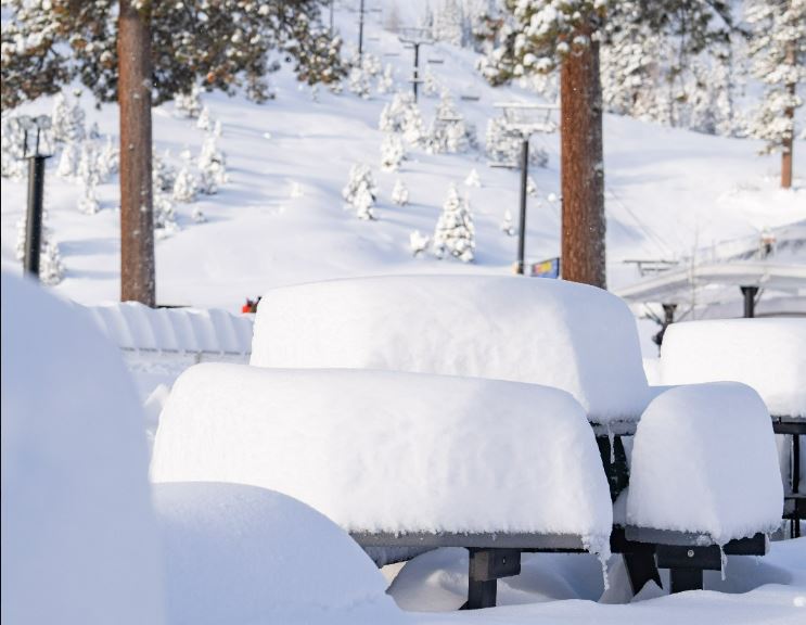
The snow showers on Monday dropped an additional 2 inches of snow on the mountain. That brings the 5-day total to 98 inches, and the season total to 323 inches. That is slightly above average for the date!
Tuesday – Thursday Weather:
We have a system moving slowly south through CA that is bringing some clouds and possibly some scattered snow showers through Thursday. We will also have partly sunny skies at times. Highs into the 30s on Tuesday and then near 40 degrees at the base on Wednesday and Thursday. Gusty west winds still blowing Tuesday with ridgetop gusts up to 50-60+ mph, and then finally dropping Wednesday into Thursday.
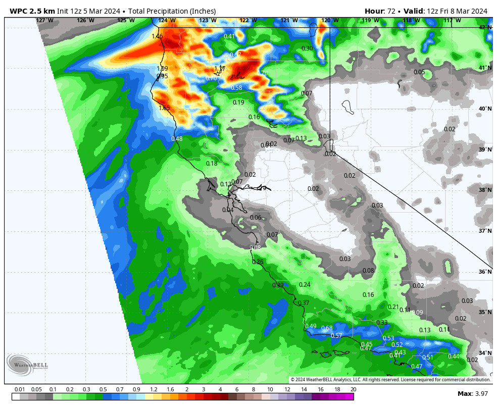
The latest model runs keep most of the precipitation away from the Tahoe basin through Thursday, with only up to a tenth of an inch reaching the crest at best. That could bring a dusting of snow to the mountain if we see a few snow showers move through. Overall a drier few days are expected. Snow levels fluctuate between 5000-7000 ft. through Thursday.
Friday Sun:
The driest and sunniest day should be Friday as high pressure briefly builds in over CA. We should see mostly sunny skies. Highs in the 30s for the upper elevations and 40s for the lower elevations near the base.
Saturday System:
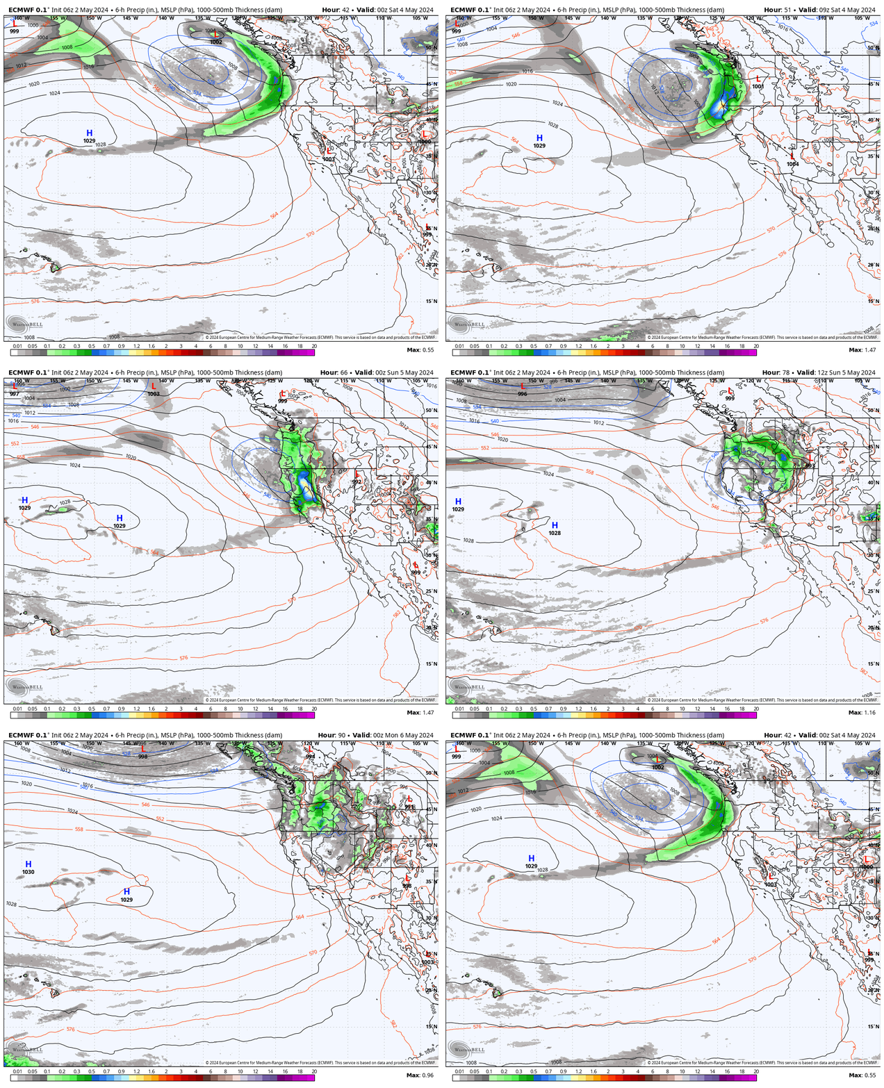
The latest model runs continue to show a weak system moving through quickly Saturday afternoon-evening. The latest trends are even weaker with the system by the time it reaches the Sierra. We could start the day with partly sunny skies and then increasing clouds and winds into the afternoon. Ridgetop gusts up to 50-60+ mph. Highs in the 30s on the mountains to near 40 degrees at the base.
Snow levels could start around 6000-7000 ft. and fall to 5000-6000 ft. as the weak front moves through. Not enough snowfall based on the latest runs to warrant a snowfall forecast. 1-2 inches of snow at best. We’ll continue to watch the trends.
Sunday:
Sunday looks to be a break between storms with some sun and the winds coming back down, but still breezy. Highs into the 30s on the mountains and 40s near the base.
Long-Range Forecast:
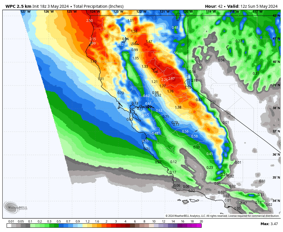
The long-range models continue to show two more troughs and storms rotating through northern CA around Monday the 11th and Tuesday the 12th, which could linger into Wednesday morning before clearing completely.
These troughs aren’t digging very far south into CA, which may limit the amount of moisture that reaches the northern Sierra. The latest model runs show another weakening system for Monday but slightly wetter than the Saturday storm, and then possibly a final weak but wettest storm of the series on Tuesday into Tuesday night.
We could see a pair of at least small powder days next Tuesday – Wednesday. The winds will be gusty on Monday and likely Tuesday with the storms moving through. Highs in the 30s. With the shallow troughs, the snow levels could be near lake level as the coldest air stays north. We’ll continue to watch the trends all week.
Drier Pattern:
The long-range models continue to show strong high pressure starting to build in over the West starting next Wednesday the 13th, and possibly continuing through the end of the 3rd week of March.
We will start to see some milder temperatures during this dry period. The latest operational model runs aren’t showing any storms moving into CA through the 21st. The ensemble mean models show well below-average precipitation through the period.
We’ll continue to watch the trends to see when storms could return…
BA

