Snowfall Report:
The fast-moving cold front that moved through Wednesday night dropped a fresh 9 inches of cold/dry snow on the mountain!
Thursday – Sunday:
High pressure will begin to build in over the West Coast through the weekend. We will have mostly sunny skies later Thursday as the storm clears out, and sunny skies through the weekend. We start out cold Thursday and Friday with highs in the 20s. Then warming into the 30s for the weekend.
Gusty northeast winds increase Thursday afternoon with gusts up to 30-40+ mph over the ridges. The gusty winds continue into Friday morning and come down some through the afternoon. Lighter winds Saturday, and then gusty northeast winds again Sunday with ridgetop gusts up to 50-60+ mph.
That will make it feel even colder. Sometimes with northeast wind events the models under forecast the wind speeds, so we could see some higher gusts. Sunday looks to have the best chance to possibly see some upper mountain lifts affected by the winds. The gusty NE winds could continue into Monday morning before falling some through the afternoon.
Long-Range:
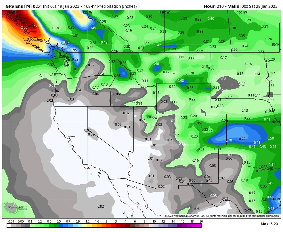
High pressure is forecast to stay near the West Coast through the 27th. That should block storms from reaching the West Coast with a dry pattern expected for this period. It should stay fairly cold through the period as we are on the east side of the ridge with a cold northerly flow into the West.
The long-range models continue to show the ridge retrograding northwest away from the West Coast the last few days of the month into the beginning of February. If this trend continues our dry pattern may only last for 10 days or so, with storms possibly returning the last few days of the month into the first week of February.
We’ll continue to watch the trends as we get closer.
BA


