The Week Ahead:
We continue to be stuck in a drier pattern for the next 7 days through Sunday.
We have inversions still affecting the mountains with some fog and warmer temperatures in the higher elevations. That may decrease as we go into Tuesday with the winds shifting northeast into Wednesday. That could cool us a few degrees on Tuesday as well.
But overall we expect 7 days of partly-mostly sunny skies. Highs into the 40s for the lower elevations and 30s for the upper elevations.
Long-Range Forecast:
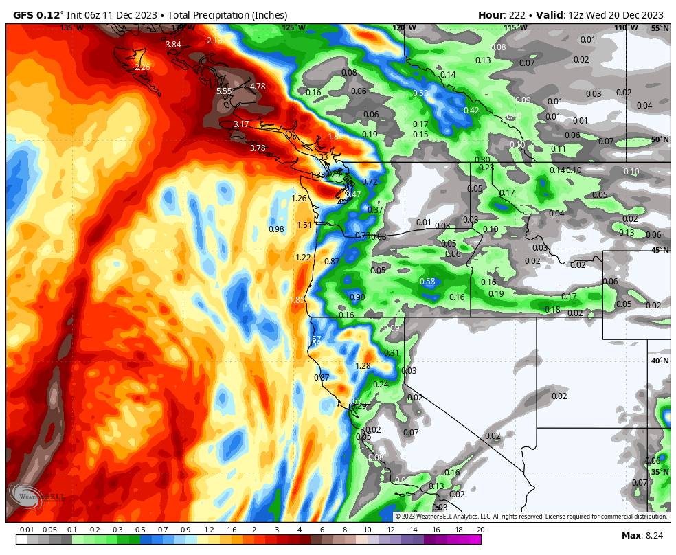
By day 8, next Monday, we still expected to have a pinched-off trough sitting near the West Coast, with cut-off lows spinning up off the coast. The latest model runs show the first cut-off low starting to eject northeast into the Northwest by next Monday into Tuesday. A second low spinning up into the trough will help to bump it east, and then that could become stalled off the coast by next Wednesday.
We may get brushed by the eastern side of the precipitation wrapping around the low. We may have south-southwesterly flow with warmer air flowing in, which means shown levels may stay above 7500-8000 ft. through Tuesday. Depending on how close the low tracks to the northern Sierra will determine if we just get brushed with scattered showers or if we could see some steadier rain and high-elevation snow showers.
We could see a drier day next Wednesday if the latest model runs are right in showing a break between storms as the next low also stalls off the coast.
Looking Farther Out:
Beyond 10 days, we get to next Thursday – Friday, the 21st-22d. A third system is now forecast to drop into the trough along the coast and could help to bump the 2nd system inland next Thursday – Friday. This is still 10+ days from now, and will likely change several times as we get closer, but the latest model runs push the 2nd system farther inland with some steadier precipitation reaching the Sierra.
The 3rd system is forecast to be more progressive and to continue into the West Coast around the 23rd. The good news is that the 2nd and 3rd systems look to have colder air associated with them, and lower snow levels for the Sierra once/if they move inland later next week. We’ll be watching these systems closely as they could be our next chance for a decent shot of new snow.
Christmas Week:
The latest ensemble mean models continue to suggest that we see a large trough and connection from the northeast Pacific southeast to the West coast. This could be a good setup for storms as the storm track is bumped north a bit before dropping southeast into the West Coast. The storms could have a better chance to draw in some colder air before moving into the West Coast as well as tap into some decent subtropical moisture.
It’s definitely not a certainty. We are still talking about 2+ weeks from now. But the hopes are high for now, and the forecast looks promising for the last week of December. Let’s hope this forecast continues to hold into the shorter range…
BA


