Saturday – Wednesday:
We have a cold and dry pattern for the weekend and a slightly milder but still cool pattern through Wednesday. We are expecting mostly sunny skies each day. Highs into the 30s through Sunday and 40s through Wednesday.
A cut-off low dropping down the coast Tuesday-Wednesday is forecast to stay off the coast of CA on most forecast model runs this morning.
Active Pattern:
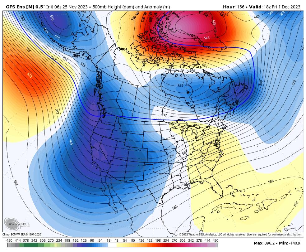
Not much change to the forecast beyond Wednesday. The latest model runs still agree that a large trough will dig in over the West Coast by the 1st opening the door to storms and colder air. The first system could move through northern CA as early as Thursday/Thursday night into Friday.
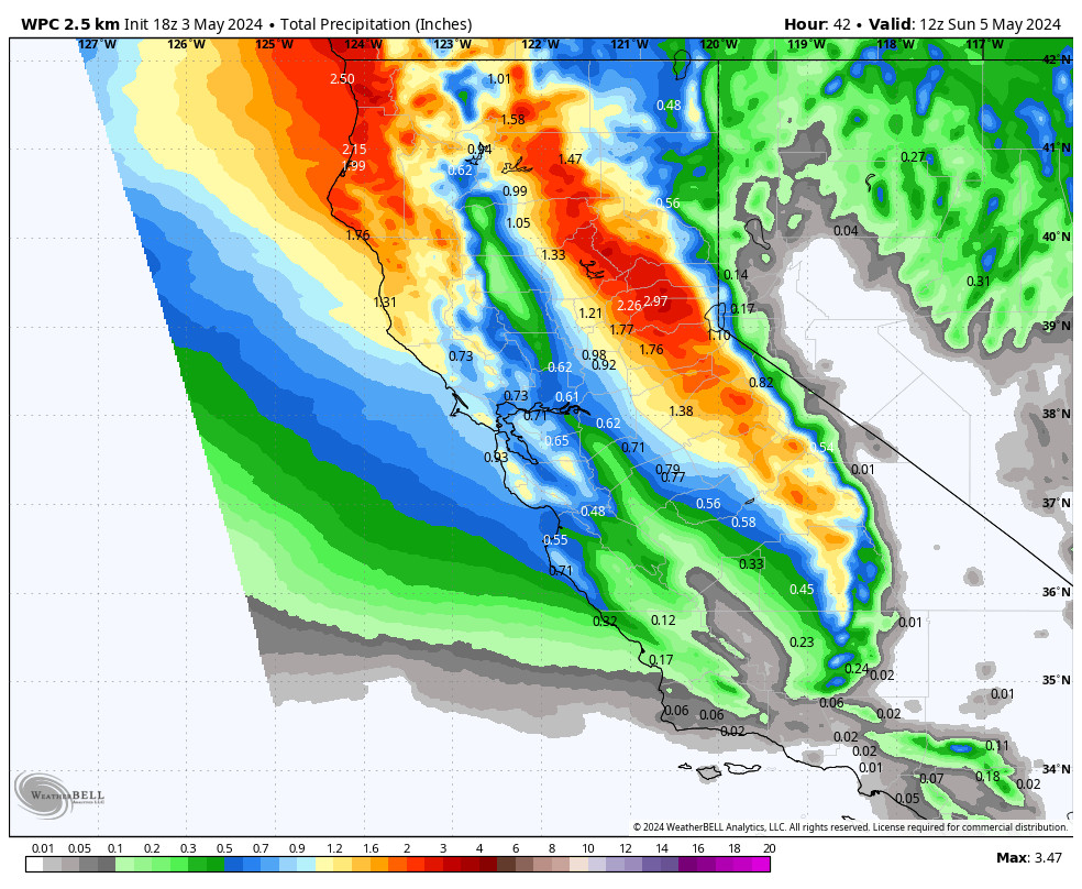
These storms look to have enough cold air for mostly snow down to the lower elevations near lake level. The issue with this pattern is the ridge off the coast that could limit how far south each storm tracks and how much moisture they can pull in. Right now the snowfall looks to be in inches and not feet.
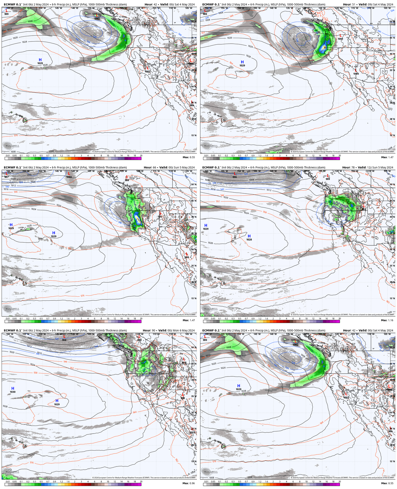
The storm door could remain open through the 4th-5th based on the latest model runs, with a couple more storms moving through the Pacific NW and northern CA next weekend into early the following week. These storms are forecast to take a similar track as the first system and we will need to see how far south they could track into CA and how much moisture they could draw in.
Long-Range:
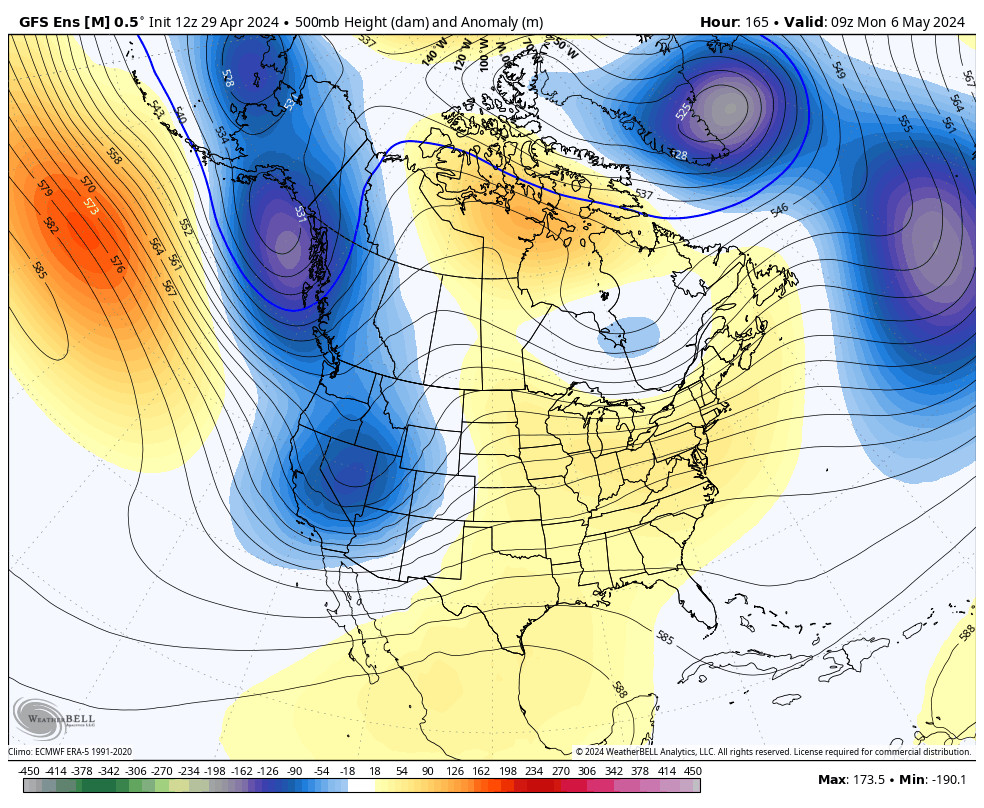
By the 6th most of the long-range models show high pressure building back in over the West Coast. They suggest that we could go back into a drier pattern into the weekend of the 9th-10th. Hopefully, any dry pattern is short-lived.
BA


