Snowfall Reports:
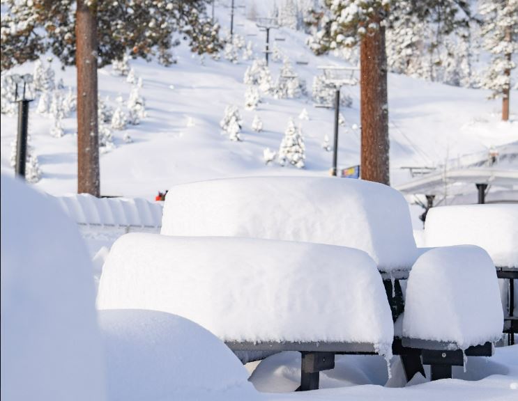
15 inches of new snow fell in the past 24 hours as of 5 AM Sunday as the snow continues to fall.
Sunday:
Heavy snow Sunday morning and then the snow intensity will come down later Sunday into Sunday night but snow showers continue. Ridgetop winds gusting up to 60-70+ mph should drop to around 40-50+ mph during the afternoon. Highs in the 20s at the base and teens up top.
By early Monday morning we could see additional snowfall amounts of:
- 6-12 inches at the base.
- 9-14 inches at mid-mountain elevations.
- 11-16 inches up top.
Monday – Wednesday:
Additional weaker waves continue the snow showers through Wednesday with temperatures remaining in the 20s for highs. The winds should be on the lighter side throughout the period with ridgetop gusts maxing out around 40-50+ mph and lighter at times. The snow should continue to be dry and powdery on the mountain.
We could see around 3-6 inches of snow each day through Wednesday as the low moves through the Sierra and clears out Wednesday night. Here is a look at the potential snowfall totals for the 3-day period.
- 8-14 inches at mid-mountain elevations.
- 11-16 inches at mid-mountain elevations.
- 13-18 inches up top.
Thursday:
We may or may not see a break Thursday. Another system is moving down from the north and could bring snow showers during the day or not until Thursday night. We’ll continue to watch the trends.
Long-Range:
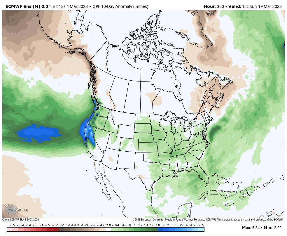
We look to transition from one wet pattern to another by Friday through the long range. The models are not in agreement on whether or not the first wet storm could move in by Friday into next weekend, but they all suggest we could see above-average precipitation into the 3rd week of March.
We’ll continue to watch the trends all week with more details as we get closer.
BA


