Snowfall Report:
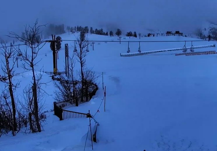
We saw snow showers on Tuesday from the final of a series of weak systems as it departed. That dropped an additional 3 inches of snow on the upper mountain Tuesday, bringing the final 2-day storm total to 7 inches.
Strong Northeast Winds:
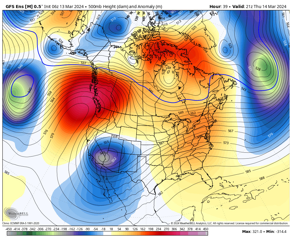
The winds are fairly calm early Wednesday morning, but that will change through the day as the pressure gradient between low pressure over the Southwest and high-pressure building in over the Northwest increases.
The high pressure will bring mostly sunny skies each day through Friday with highs into the 30s, and 40s for the lower elevations by Friday. But in the middle over the Sierra between the high and low pressure, we will see increasing northeast winds into Thursday, with gusts up to 80-90+ mph over the ridges.
That will make it feel even colder and will close some upper-mountain ski lifts. The strong winds continue into Friday morning and then are expected to slowly diminish through the afternoon. Don’t be fooled by the sunny skies as conditions on the mountain will be cold and windy.
Milder Pattern:
Over the weekend through early next week as low pressure over the southwest kicks east and high pressure dominates the pattern over the West. That will continue the sunny days. Temperatures in the 40s on Saturday and then warming into the 50s for the lower elevations by Sunday through Tuesday.
Pattern Change:
By next Wednesday the 20th, the pattern is starting to shift with high pressure over the West weakening and strengthening in the northeast Pacific up near the Gulf of Alaska. That will start to cool temperatures as some colder air moves down from the north. Highs dropping into the 40s by later next week.
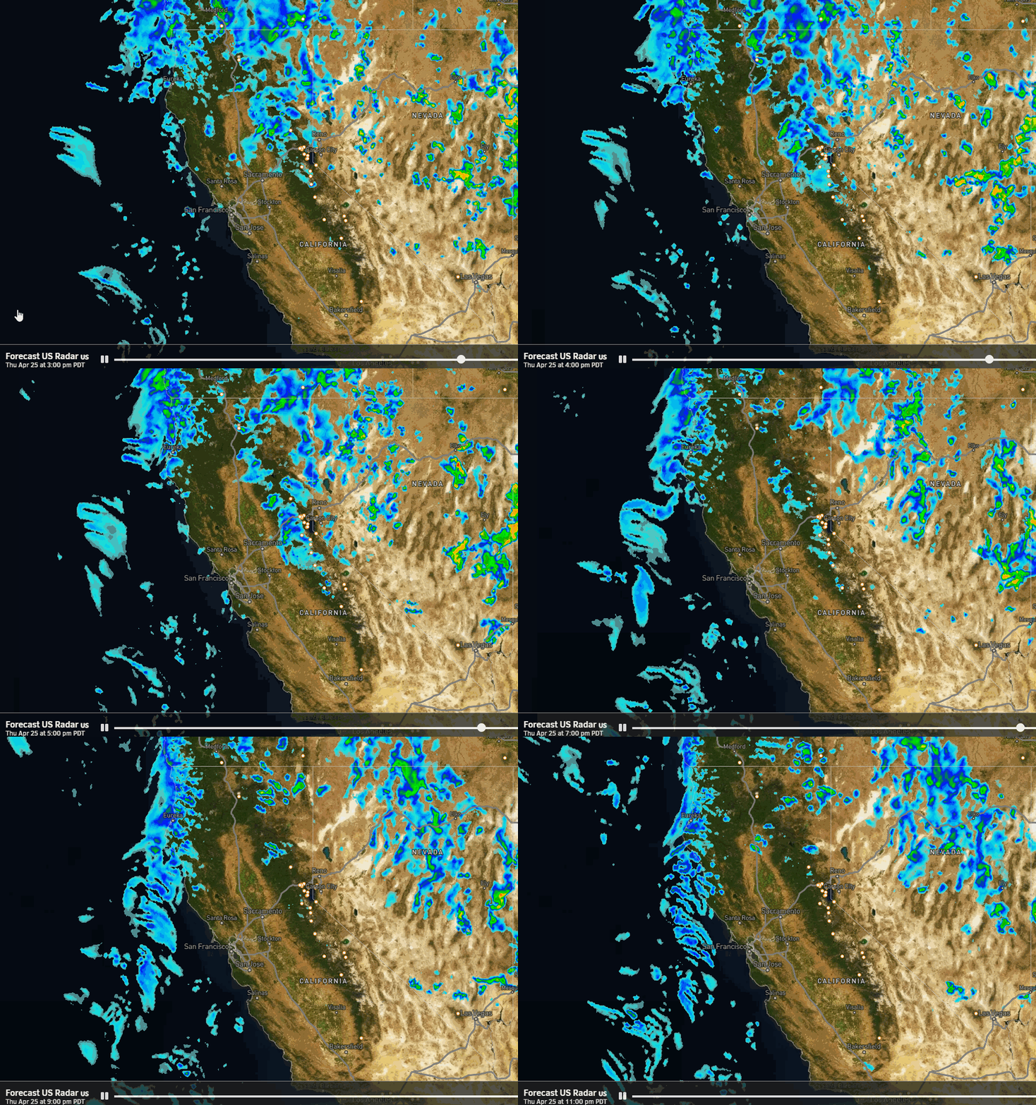
That will also open the door to storms from the north and west, but we are in late March when storms tend to be weaker. Some model runs show the chance for a weak system or two later next week, but nothing very impressive showing up on the latest model runs. Mainly cooler air and maybe the chance for some showers.
Long-Range Forecast:
The long-range models keep cooler air and troughing over the West and high pressure off the coast through at least the 25th. A pattern that could bring below-average temperatures to much of the country.
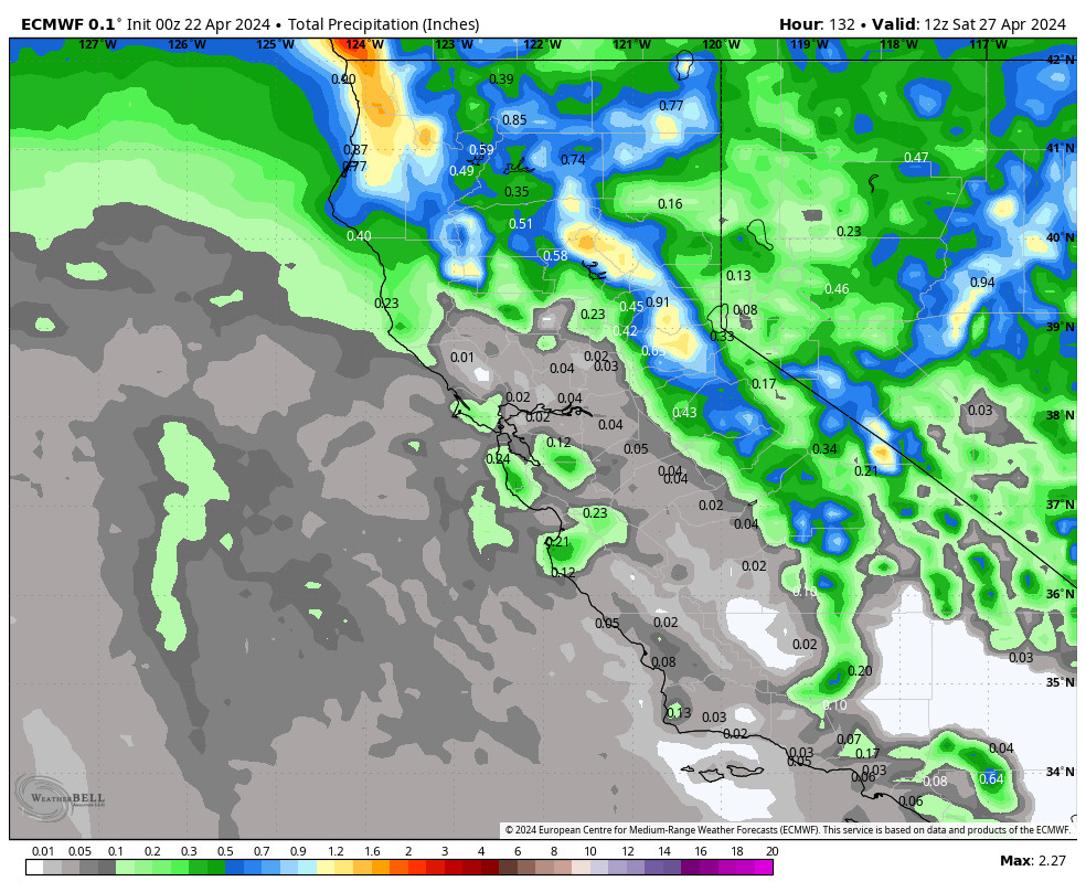
Some models start to build a weak ridge in near CA starting around the 26th, which would likely bring some milder temperatures and less of a chance for any storms. The best window for storms may be between the 21st – 25th, and the ensemble mean models show near to slightly above average precipitation.
But the operational model runs aren’t showing anything impressive right now. Just weak systems moving through during the period. Hopefully, a storm or two will draw in enough moisture and cold air to bring a decent shot of snow. We’ll continue to watch the trends.
BA

