Snowfall Report:
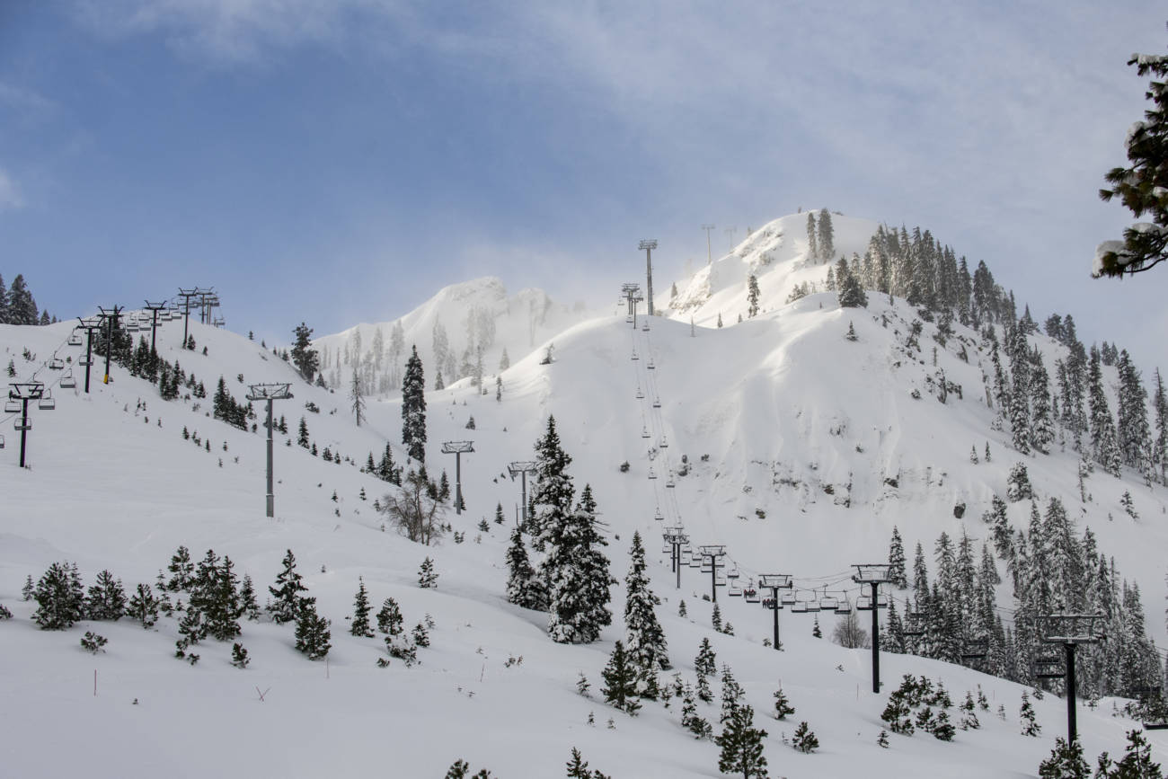
Another 4 inches of fresh powdery snow fell on the mountain Tuesday night. That brings the season total to 256 inches already and it’s still snowing Wednesday!
Wednesday System:
Wednesday it stays cold with highs in the 20s at the base and teens up top. Snow showers are expected to be steadier Wednesday morning and then scattered snow showers Wednesday afternoon before diminishing into the evening.
The winds are still gusting up to 50+ mph up top Wednesday morning and then they should come down through the afternoon. By Wednesday night we could see 2-5 inches of additional snowfall on the mountain.
Thursday – Sunday:
We should see a break in the storms Thursday with mostly sunny skies. Highs in the 20s to near 30 degrees at the base. Gusty winds could return by afternoon with gusts up to 50+ mph up top possible. A system dropping down from the north Thursday night could bring a few snow showers overnight, but not expecting more than a dusting of snow.
Friday through Sunday we expect the mostly sunny skies to continue during the day. Highs into the 30s at the base and 20s up top. We could still see gusty NW winds Friday up top gusting up to 50+ mph. Saturday the winds look to be lighter. Then they could increase again Sunday from the southwest, gusting up to 60+ mph by afternoon.
Long-Range:
Another strong storm will be approaching the region by Monday. We will have to watch the timing of this storm’s arrival closely as we get closer. It may hold off until Monday night. Once it does move in, it could be with us through Wednesday bringing another round of gusty winds and heavy snow. We’ll be tracking this storm all week.
Going into the 2nd week of January the forecast models are split on whether we go into a drier pattern, or the storms continue. We’ll continue to watch that as well.
BA

