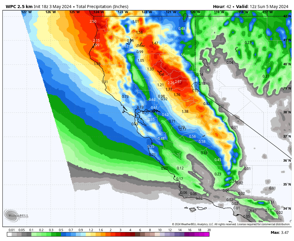
Thursday Snow:
We already have some light snow showers around the area Thursday morning as some moisture is moving in ahead of the system which will bring some snow showers later in the day into Thursday evening.
Highs in the 30s. The winds won’t be strong with this system. Just snow showers with light accumulations by early Friday morning. Snow levels will stay down to the base with this system.
The latest model runs haven’t changed much with their total precipitation forecasts. We are still expecting 1-4 inches of new snow on the mountain from bottom to top by early Friday morning.
Friday – Sunday:
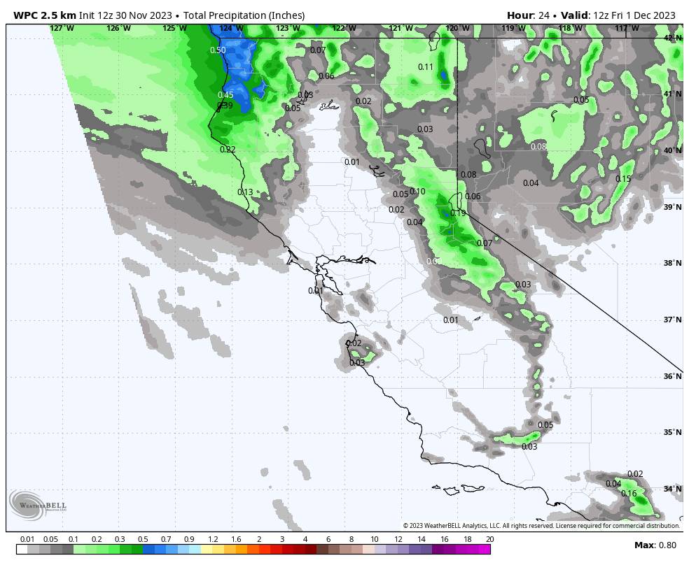
A few days ago it looked like we could be brushed by wet storms to our north Friday night through Sunday. The Canadian model was the first two days ago to suggest that most of the moisture stays to our north, followed by the European model yesterday, and now the GFS and other models as of Thursday morning.
We will see some clouds through the period with the storms just to the north. The best chance for a few stray snow showers making it this far south looks to be Friday night. But overall a drier period is expected for the weekend.
It starts cold with highs in the 30s Friday into Saturday, and then some milder air starts to work in Sunday with highs warming into the 40s for the lower elevations near the base.
Sunny and Milder:
High pressure builds in over the West early next week bringing an even drier pattern with mostly sunny skies expected Monday through Wednesday. Highs into the 40s Monday and then warming into the 50s by Tuesday for the lower elevations near the base.
Long-Range Forecast:
The long-range forecast models are suggesting a bit more success for a brief trough to push into the West Coast later next week around Thursday – Friday. That could bring in another shot of colder air and could allow a weak-moderate system to track south into northern CA.
The latest model runs mostly show a weak system with snow showers, with the Canadian model being one of the outliers showing the possibility of a stronger system. We’ll continue to watch the trends.
The long-range models continue to suggest that any troughing and storms will be short-lived with high pressure building back in the weekend of the 9th-10th and continuing into the week of the 11th. So we still expect a fairly dry pattern to continue through the 2nd week of December.
Some of the long-range models continue to suggest increased precipitation for CA during the 3rd week of December. I’m watching the teleconnection forecasts closely to see if they support that. It’s hard to believe anything out more than a week with the way the winter is starting so far…
BA