
Snowfall Report:
8 inches of snow was measured at mid-mountain as of 5 AM Saturday. That brings the 2-day storm total to 15 inches so far.
The atmospheric river shifted farther south than expected Thursday and we didn’t see the increase in heavier snow Friday that the models were showing. The precipitation totals were around 3 inches less than we expected which is likely a good thing for the rain and wet snow adding to the snow loads on buildings. The 2-day snowfall totals came in around 2 feet less than we expected due to this.
Saturday – Sunday Snow:
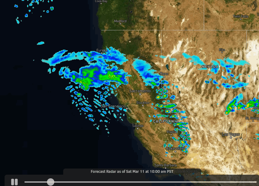
The moisture continues to stream into the Sierra Saturday through Sunday night along the stalled cold front over the area. The showers should increase and become steadier at times. Winds will be lighter both days but still gusting up to 50-60+ mph up top from the southwest. Highs into the 30s.
Snow levels could fluctuate between the base and 7000 ft. through the 2-day period, with heavier bands of precipitation helping to drag them lower at times. That means a mix of rain and snow is possible near the base. Above 7000 ft. we should see mostly all snow but wet/thick snow. Here is the updated forecast for snowfall for Saturday through Sunday night.
- 12-18 inches at the base.
- 17-23 inches at mid-mountain elevations.
- 21-27 inches on the upper mountain above 8000 feet.
Monday – Wednesday:
Rain and snow showers should continue Monday into Monday night. Then another wet storm moves in by Tuesday morning. Then winding down Tuesday night with showers possible into Wednesday morning before clearing later in the day.
Winds will increase again on Monday with ridgetop gusts up to 60-80 mph by afternoon and up to 80-90+ mph Tuesday. That should affect some upper mountain lifts. Then dropping Wednesday. Highs in the 30s. Snow levels may continue to fluctuate between the base and 7000 ft. through Monday night with only a few inches of snow expected.
Snow levels rise back up to 7000-8000 ft. Tuesday with the heavy precipitation pushing back in. Then falling back down near the base by early Wednesday morning near the end of the storm. Most of the snow forecast for the base is at the end. A boom/bust forecast for the mid-mountain depending on the timing of the snow levels. Heavy wet snow above 8000 ft.
Here is the updated forecast for total snowfall expected for Monday through Wednesday morning. From the base up to 7000 ft. half of the forecast could fall before the change to rain and half after the change back.
- 7-13 inches at the base.
- 13-24 inches at mid-mountain elevations.
- 24-34 inches on the upper mountain above 8000 feet.
The storm clears out Wednesday afternoon with the sun likely starting to come out and with lighter winds and highs into the 30s.
Thursday:
High pressure builds in briefly on Thursday. That should bring us a nice day with mostly sunny skies with highs in the 30s.
Long-Range:
We could see weak-moderate strength storms return between the 17th-23rd. During the last 7-days days of the month, we could start to see a drier pattern. We’ll continue to watch the trends.
BA


