Wednesday Weather:
We have another nice day on Wednesday if you like sunny skies. Highs into the 40s as we watch a cut-off low go by off the coast and miss us.
Thursday System:
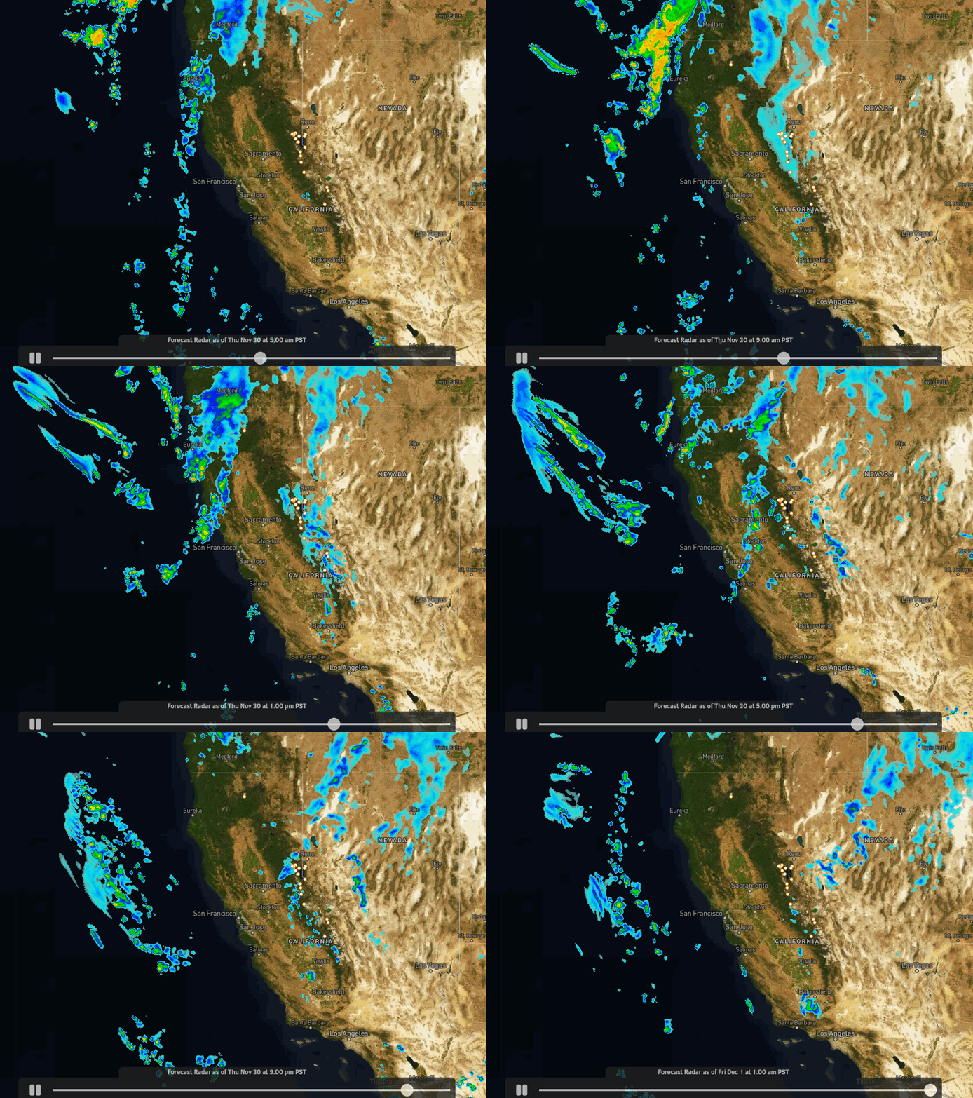
We should see snow showers increase over the northern Sierra by late morning on Thursday with snow showers around into Thursday night. Total precipitation forecasts on the latest model runs only range from 0.1 – 0.4 inches over the mountain.
Highs will be in the 30s for the lower elevations with snow levels expected to range between 5000-6000 ft. Thursday and then fall below 4000 ft. Thursday night. That will bring decent snow ratios by Sierra standards with coating up to a few inches of snow possible, and a bit powdery on the upper mountain. But we don’t need powder yet, we need base-building snow.
Friday:
The latest model runs still show clouds and a little sun for Friday, but drier with only a few scattered snow showers around the region. Highs are still in the 30s.
Friday Night – Sunday Systems:
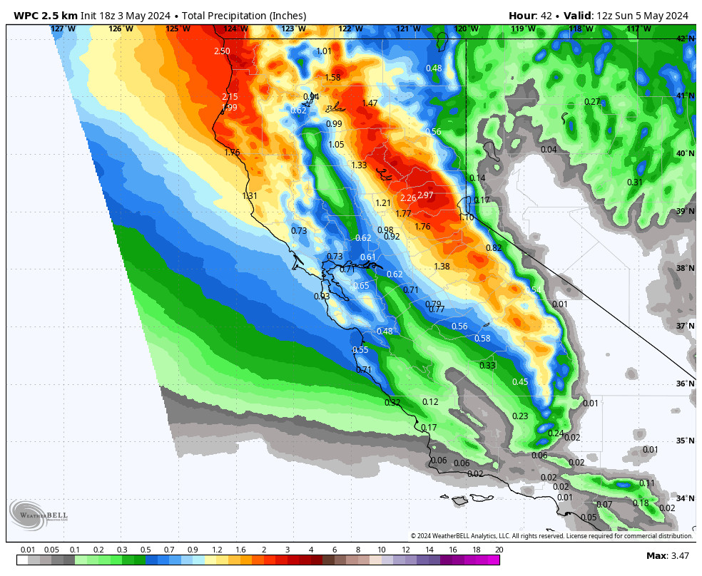
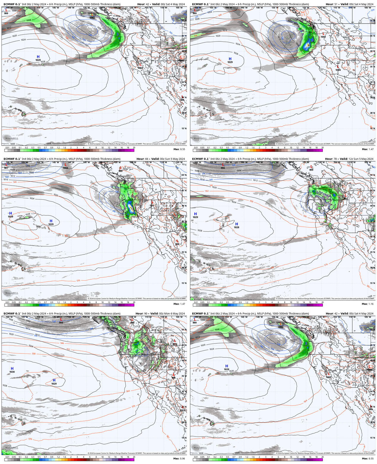
More storms move through to our north over the weekend, eventually bringing in warmer air on Sunday with rising snow levels. The latest model runs still disagree on how far south the moisture pushes over the weekend. There is a lot of moisture streaming into the Pacific NW just to our north.
A few forecast models keep us completely dry, the rest of the models range 0.1 – 0.6 inches of liquid in total over the mountain. So these systems by themselves look to bring less precipitation than the weak system on Thursday. The total model average is less than 3 tenths of an inch.
For the wetter models, they have only light precipitation with scattered showers Friday night into Saturday, with the best shot at a few steadier showers Sunday. Highs will still be in the 30s on Saturday but on Sunday as warmer air moves in with the AR to our north the highs could reach 40 degrees near the base.
Snow levels start out low Friday night into Saturday below 6000 ft. Then they rise above 6500 ft. by Sunday morning, above 7000 ft. by Sunday afternoon, and launch above 9000 ft. Sunday night. Based on the trend drier and the warmer system on Sunday. My snowfall forecast for the weekend is the same as for Thursday, with a coating up to a few inches of snow possible on the mountain.
Long-Range Forecast:
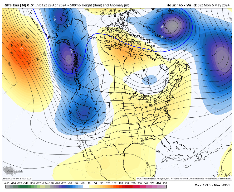
By Monday the long-range of the forecast models still show high pressure building back in over the West with a drier and milder pattern returning. We could see mostly sunny skies each day through Wednesday with highs rebounding into the 40s starting Monday, and possibly breaking into the 50s for the lower elevations near the base by Tuesday.
There are some strong storms still moving through the northeast Pacific through the end of next week, and the long-range models suggest they could try to flatten the ridge later next week. That could allow the storms to brush the northern Sierra again by next Thursday-Friday.
We’ll continue to watch the trends on that. We don’t want to be brushed by weak systems again, we want a wetter and cold storm to build the bases, but right now through the 2nd week of December, I’m still only seeing chances of weak storms if any.
Later in December:
The extended range models that go through the end of December are hinting at the pattern opening up a bit more with the northeast Pacific trough nudging a bit closer to the West Coast. The jet stream should also be stronger by mid-month into the 2nd half of December.
The long-range models show increased precipitation for the 2nd half of the month. I keep feeling like the dam could burst at some point in December. We’ll continue to watch the long-range with eagerness. Maybe we’ll have a big comeback later in the month.
BA

