Sunday System:
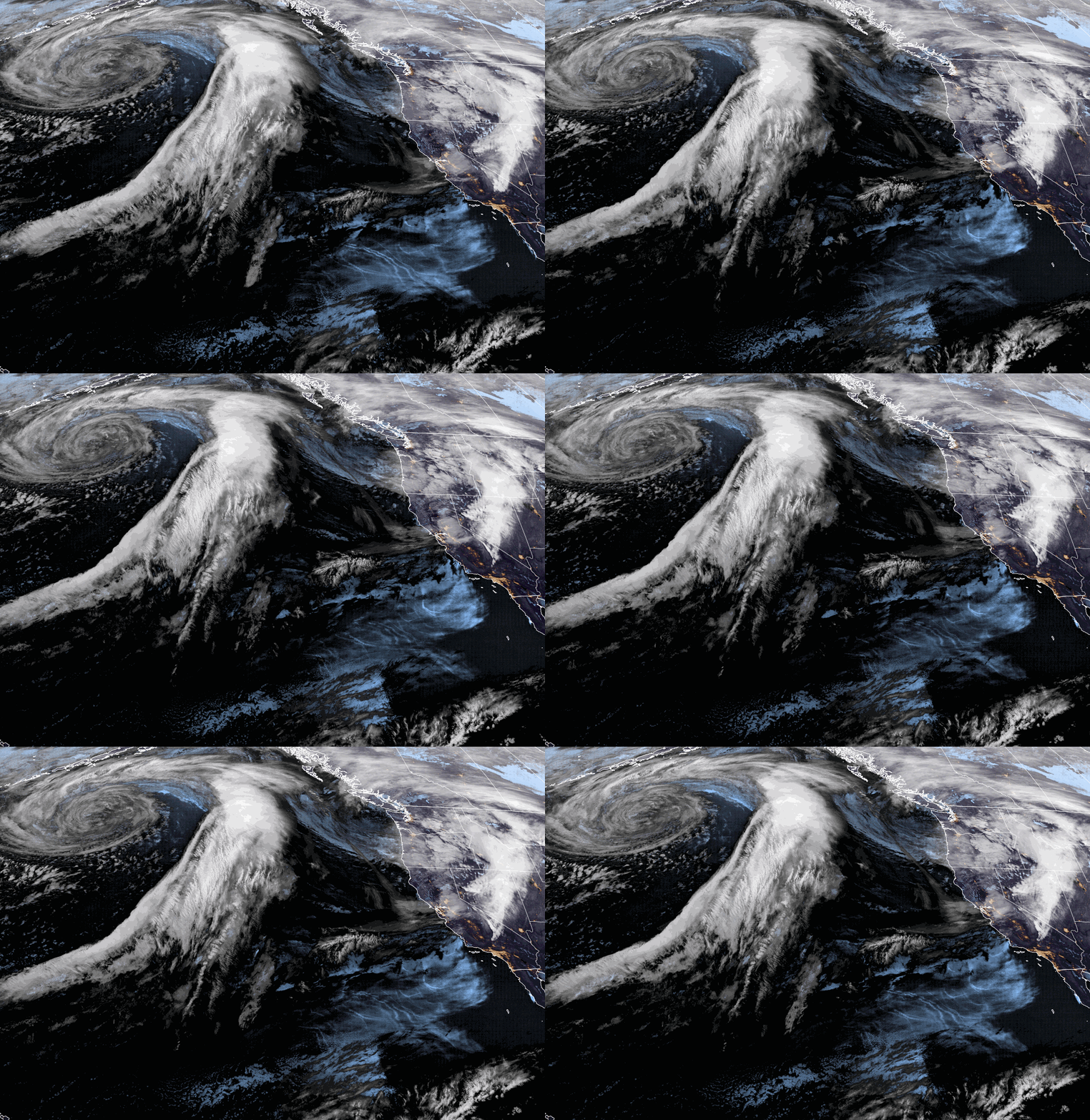
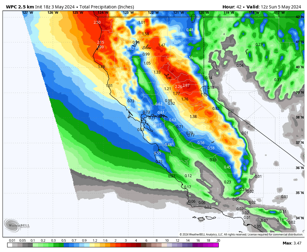
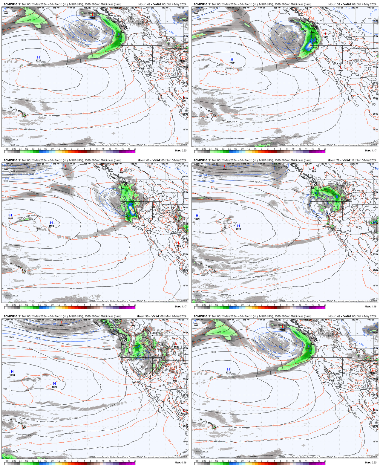
Snow showers are moving through the region Sunday morning that should clear by afternoon, and even some sun is expected later in the day. Ridgetop gusts up to 70-80+ mph Sunday morning could delay some upper mountain lift openings. Then falling through the afternoon. Highs drop into the 40s at the base and 30s up top.
Only a dusting of snow had fallen on the mountain as of early Sunday morning. We are only expecting a coating to an inch of new snow on the mountain by late morning.
Monday:
A quick rebound back to nicer weather Monday with mostly sunny skies and highs back near 50 degrees at the base and 40s up top, along with lighter winds.
Tuesday System:
Another system digs south into the northern Sierra Monday night into Tuesday morning, with scattered showers possible into the early afternoon before clearing by late afternoon. This system should bring a tiny bit more moisture south into the Tahoe Basin. We could see rain at the base and snow up top.
Snow levels look to start around 7800-8300 ft. Monday night and fall to around 6800-7300 ft. Tuesday morning. Ridgetop winds gusting up to 80+ mph from the southwest, likely causing some lift closures Tuesday morning, then falling through the afternoon. Expecting rain at the base and part of the lower mountain, with a coating up to 5 inches of snow on the upper mountain above 7000 ft.
Wednesday – Friday:
Wednesday through Friday looks to be drier and milder as high pressure builds back in over the region. Expecting mostly sunny skies with highs into the 40s on the mountain and near 50 degrees at the base.
Long-Range:
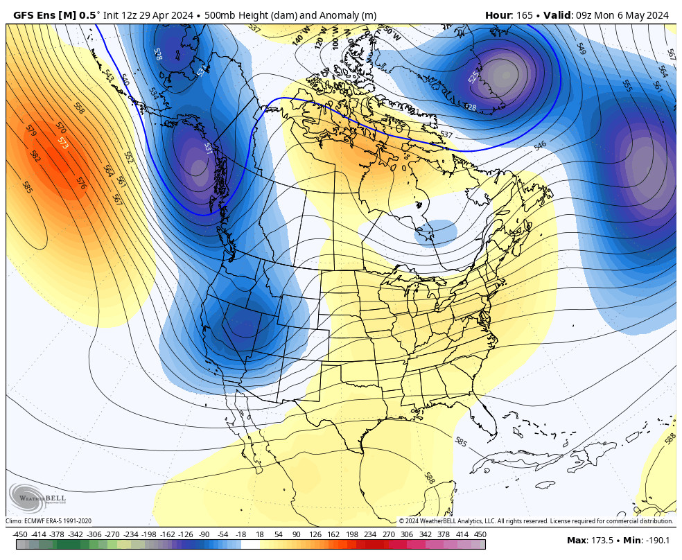
The next chance for a storm to bring rain & snow to the Northern Sierra will be Saturday. This system could have similar precipitation amounts as the Tuesday storm, but with colder air and lower snow levels. So we could see a few to several inches of new snow. We’ll continue to fine-tune the forecast as we get closer.
Next Sunday into the week of the 21st the long-range models are suggesting that we could go back into a dry and mild pattern, and then maybe a storm or two the last few days of the month. We’ll continue to watch the trends as we get closer.
BA

