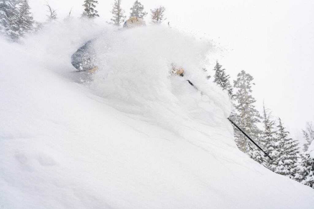
After the 4 feet of snow that has fallen on the mountain already this season, the opening day has been moved up to 11/18!
Thursday – Friday:
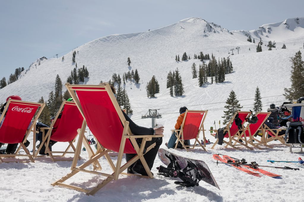
Mostly sunny Thursday and partly sunny for Friday. Highs into the 30s at the base and 20s up top Thursday and then 30s and low 40s for Friday.
The Weekend:
A weak system is forecast to move through on Saturday with a few snow showers possible, but currently only expecting a dusting to an inch or two of new snow at best on the mountain.
Breezy southwest winds up to 30+ mph over the ridges Saturday turning to the northeast Sunday. Highs in the 30s at the base and 20s up top.
Long-Range:
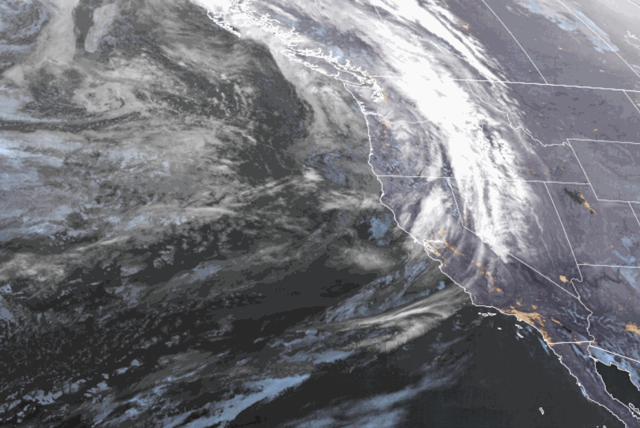
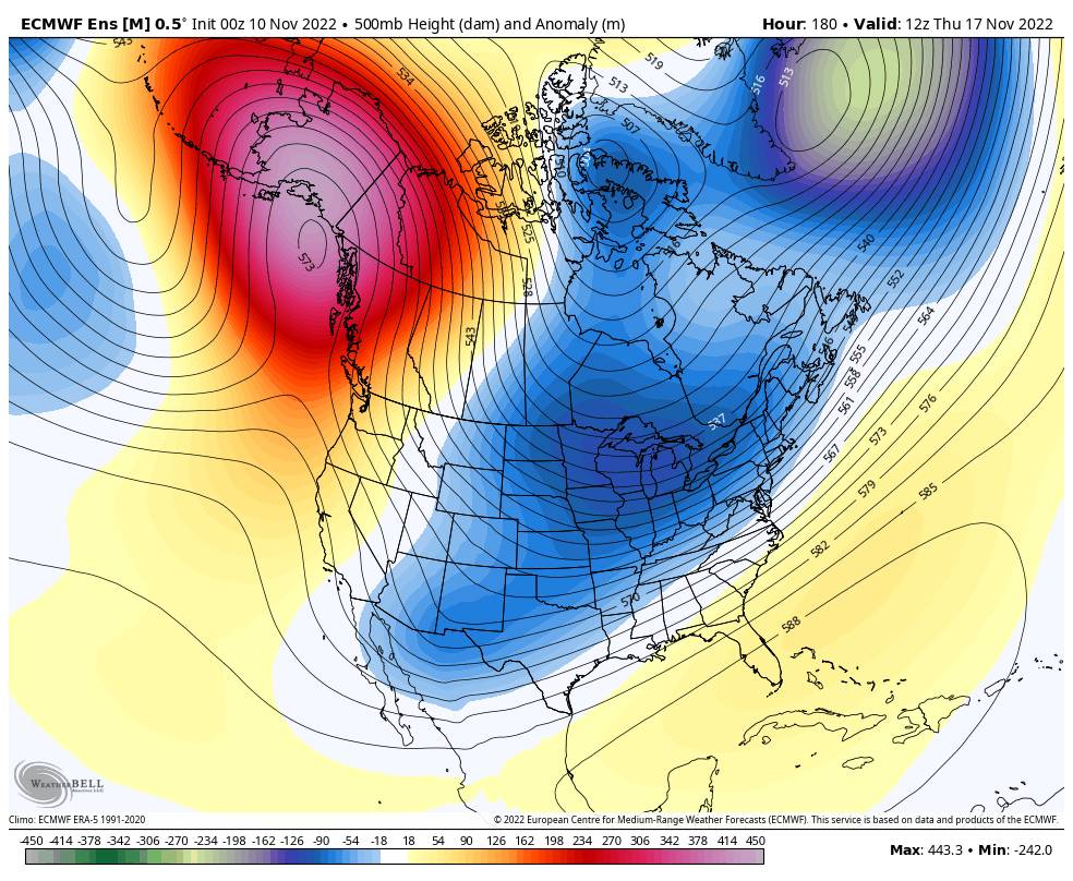
A drier pattern is likely Sunday through the week of the 14th with a weak high-pressure ridge over the West Coast. Some forecast models suggest a weak system later in the week, but nothing concrete or impressive looking right now. It should stay fairly cold through the week.
We are keeping an eye on Thanksgiving week as some long-range models suggest an active storm track could return to northern CA.
BA