Colder Pattern with Snow:
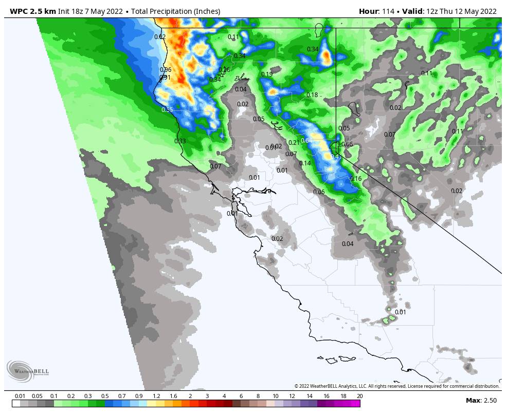
We may see the heaviest precipitation with the cold front on Sunday and then we could see unsettled weather through Wednesday with chances for snow showers as additional weak waves move through the trough. The daytime heating could help to fire up some heavier isolated showers over the mountains each afternoon.
We could see some sun in between showers Mon-Wed. Highs only in the 30s at the base and 20s up top throughout the period. Snow levels could fluctuate between 5000-6000 ft. during the day and 3000-4000 ft. at night. That means mostly snow showers to the base through the period.
Snowfall amounts on the upper mountain could be 4-8″ through Sunday night. Then 0-2″ possible each day through Wednesday. The base will have a harder time seeing snow stick during the day, but a few inches are possible at night and on colder surfaces. If we see heavier bands of snow move through we could also see snow accumulate during the day.
In total, we could see 4-8″ at the base and 6-12″ on the mountain by Thursday morning. Ridgetop winds gusting up to 60-70+ mph from the southwest Sunday could close some upper mountain lifts. Breezy winds Mon-Wed but lighter.
Long-Range Forecast:
The long-range models continue to show high-pressure building in later in the week into the weekend of the 14th, and possibly staying over the region through the following week. That should bring much nicer weather for skiing next weekend.
Some models suggest we could see additional cool troughs with unsettled weather later in the month. So we will keep an eye on that.
BA

