Snowfall Report:
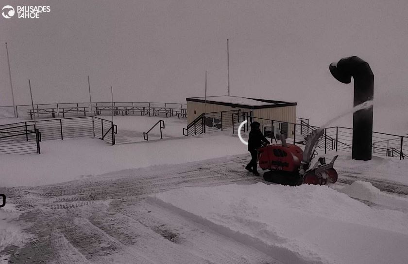
A final 4 inches of snow fell on the mountain from the snow showers on Monday. That brought the 2.5-day storm totals to 2 feet, and the 6-day totals to 4 feet! The mountain has been skiing pretty deep, so I think those 125 mph winds Sunday blew off some of the snow and we likely picked up slightly more than was measured.
Tuesday – Wednesday Snow Showers:
We will continue to see some scattered snow showers around the area through Wednesday. There’s not much around Tuesday morning, but the models show a bit more on Tuesday afternoon. Then a weak system drops down to our west on Wednesday.
We have lighter winds on Tuesday. A little breezy Wednesday with ridgetop gusts up to 30-40+ mph. Highs into the 30s for the lower elevations near the base and 20s for the upper mountain above 8000 ft. The snow levels look to stay below the base and drop as low as 4000 ft. at night.
The model average this morning is for around 0.4 inches of total precipitation over the mountain by early Thursday morning. With snow ratios averaging around 15:1 near 8000 ft., that would give us a high-end snowfall of up to 6 inches up top, and 1-5 inches from the base up to the upper mountain in total by Thursday morning.
Thursday – Friday:
Thursday could be the driest day with the best chance for some sun. Then Friday that weak system could drop down to our east. That may favor the east side mountains. It could also miss us completely or track a bit west over the mountains. So we’ll watch the trends.
Overall I’m not expecting more than a dusting up to a few inches of snow at best on the mountain depending on the track.
The Weekend:
High pressure starts to build in over the weekend with partly-mostly sunny skies and highs into the 30s. It should be a beautiful weekend.
Long-Range Forecast:
High pressure is forecast to remain over the region through the week of the 12th. That should continue the dry pattern through at least next Friday the 16th and possibly through the weekend of the 17th-18th. Temperatures should warm a little with highs into the 40s likely for next week.
The long-range models continue to show the Pacific jet stream extending toward the West Coast again by around the 18-19th, with lower heights and storms spinning up on the north side and track towards the West Coast.
We may have the same issues as we’ve had with seeing storms during similar patterns this past week, back in January, and in late December. The storm track should be more toward southern CA, and for northern CA we could see storms weaken or split by the time they reach the mountains, or we could be on the northern edge of the storm track.
The storms could try to start pushing into CA around the 19th-20th. We’ll be watching the trends closely. Even though it doesn’t look like a big storm producer, neither did this week’s pattern two weeks out, and we had two storms come far enough north to drop some decent snowfall. So we’ll be watching closely as we ride out the next dry pattern.
BA


