Weekend Snowstorm:
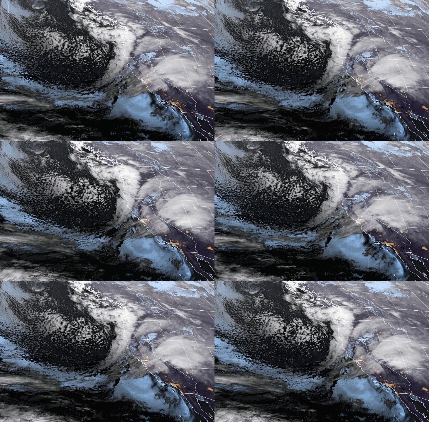
We will see lighter snow showers Saturday morning with heavier snow moving in by the afternoon, and into Sunday morning. Ridgetop winds to increase to 80-90+ mph Saturday and then drop to around 40-50+ mph by Sunday afternoon. That will close some lifts Saturday and possible delays Sunday. Highs into the 20s for both days.
The snow intensity should come down later Sunday into Sunday night but snow showers continue. By early Monday morning here are the expected snowfall totals for the 2-day period.
- 23-31 inches at the base.
- 29-36 inches at mid-mountain elevations.
- 33-41 inches up top.
Around 2/3rds of the forecast is expected to fall by Sunday morning with an additional 5-10 inches through the afternoon and 4-8 inches Sunday night.
Monday – Wednesday:
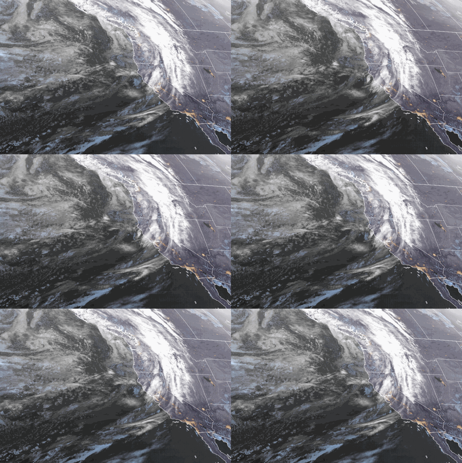
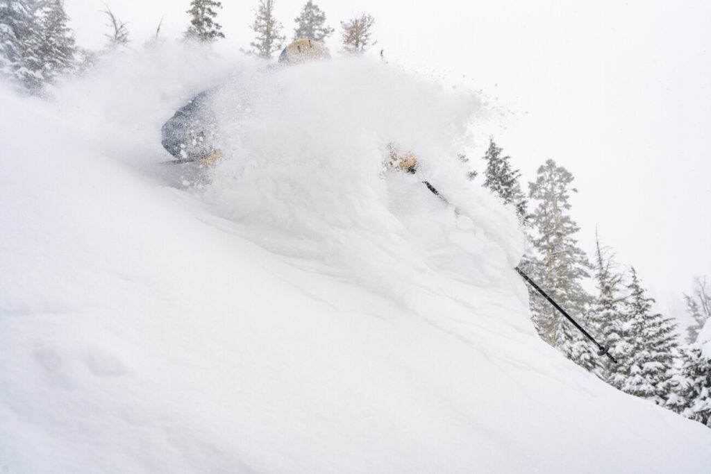
Additional weaker waves continue the snow showers through Wednesday with temperatures remaining in the 20s for highs. The winds should be on the lighter side throughout the period. The snow should continue to be dry and powdery on the mountain.
We could see around 2-5 inches both Monday and Tuesday, and then 3-7 inches for Wednesday as the low moves through the Sierra and clears out by Thursday morning. Here is a look at the potential snowfall totals for the 3-day period.
- 7-13 inches at the base.
- 10-15 inches at mid-mountain elevations.
- 12-17 inches up top.
Long-Range:
We still expect a break in the storms Thursday with mostly sunny skies and highs warming into the 30s.
The latest model runs are still split on whether or not a strengthening Pacific jet stream extends into CA from the 10th through mid-month bringing us a wet pattern, or if it will stay farther west and bring us a drier and milder pattern.
We’ll continue to watch the trends with more details as we get closer.
BA


