Snowfall Report:
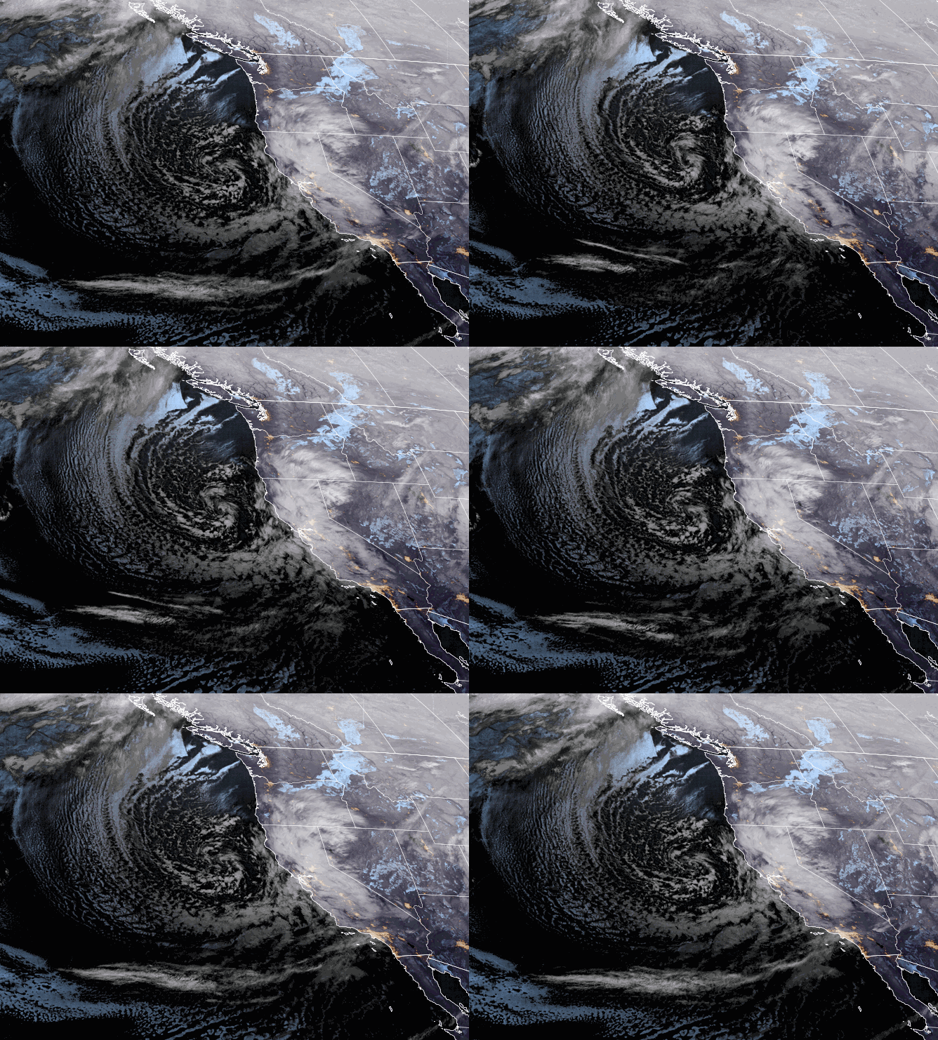
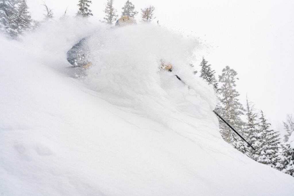
We picked up 11 inches at the base and 20 inches of additional new snowfall on the upper mountain in just the past 24 hours as of 5 AM Friday. That doubles the 20 inches that fell over the previous 2 days, with 3-day storm totals now at 40 inches as the snow continues to fall!
Friday – Saturday Snow:
It will stay cold through Friday with highs in the teens up top and 20s at the base. We have lighter winds Friday into Saturday, with some gusty east winds Saturday morning up to 30-40+ mph up top. Saturday we could see high temperatures warm a few degrees into the 20s on the mountain and 30s at the base.
Heavier snow is expected during the day on Friday with 9-15 inches of new snow possible during the day, and then another 1-5 inches possible Friday night. Saturday we will have scattered snow showers with only light additional accumulations expected of a coating up to 2 inches.
Here is the updated snowfall forecast for additional snowfall expected through Saturday.
- 10-16 inches at the base.
- 14-19 inches at mid-mountain elevations.
- 16-22 inches up top.
Sunday – Wednesday Snow:
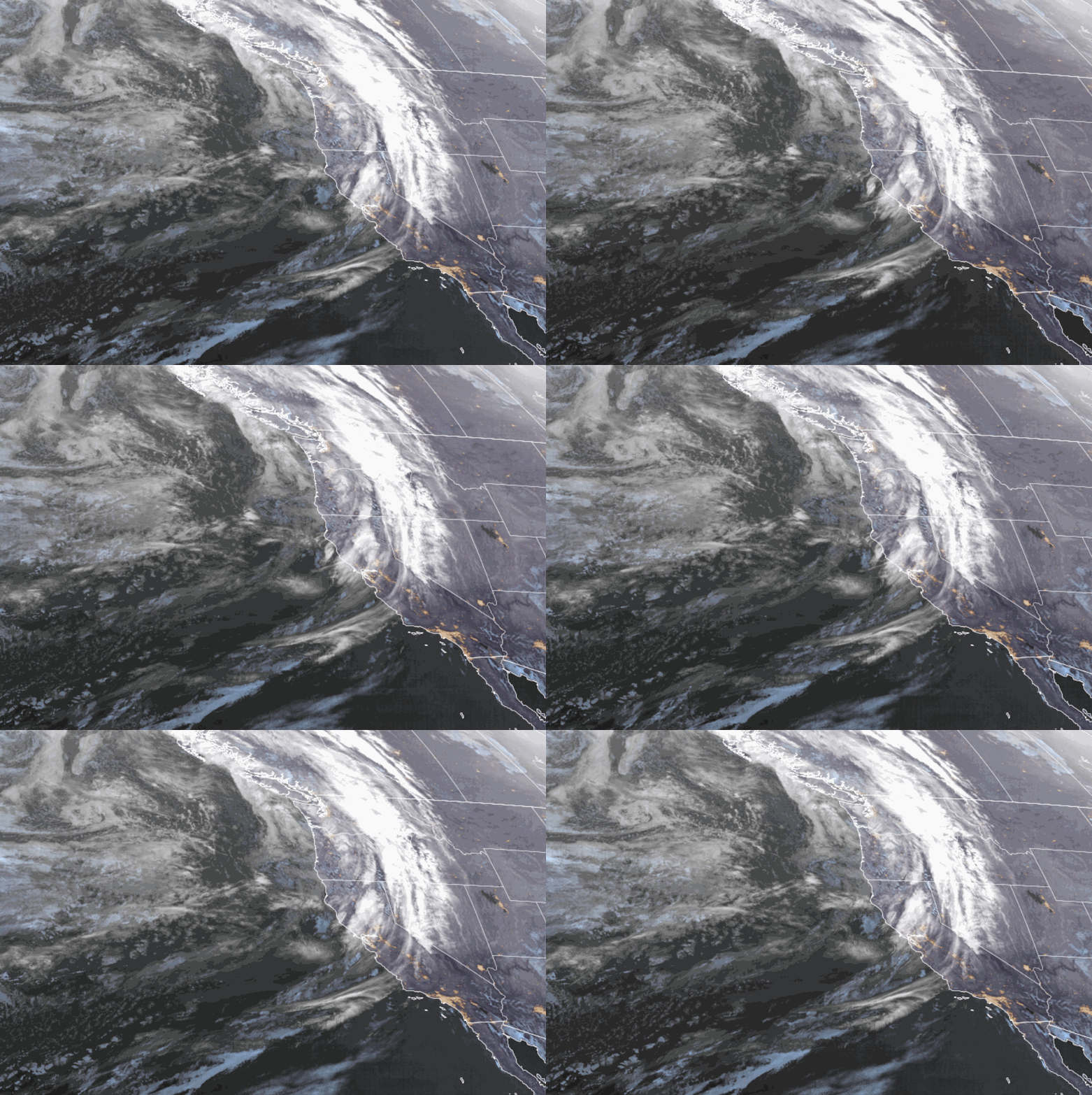
Scattered snow showers are possible Saturday night into Sunday morning as the lull between storms continues. Increasing winds ahead of the next storm Sunday with ridgetop gusts up to 70-80+ mph from the southwest by afternoon, which should close some upper mountain lifts. The strong winds could continue through Monday and still gusting up to 50-60+ mph up top Tuesday. Highs in the 20s through Wednesday.
A moderate system brings steadier snow back in by Sunday afternoon, with 3-6 inches possible by evening. Snow showers continue into Monday morning with several more inches falling. Then a stronger storm moves in by Monday afternoon into Tuesday with heavy snow, and a final system Wednesday with several more inches possible. Snow winds down Wednesday night and clears by early Thursday.
This is another cold storm series Sun-Wed with strong winds and powdery snow blowing around. Here is the potential snowfall totals for the 4-day period on top of what falls by Saturday!
- 33-42 inches at the base.
- 40-48 inches at mid-mountain elevations.
- 45-54 inches up top.
That means we could see over 100 inches in total by Thursday for 8-day totals on the mountain!
Long-Range:
We still expect a break in the active pattern from Thursday into next Friday the 3rd, with mostly sunny skies. Then storms could return by the weekend of the 4th-5th into the week of the 6th as another cold trough is forecast to dig into the West Coast. We’ll continue to watch the trends.
BA


