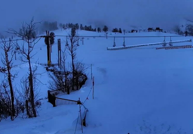
Sunday – Monday:
We will see mostly sunny skies through Monday with highs into the 40s as high pressure sits near the West Coast.
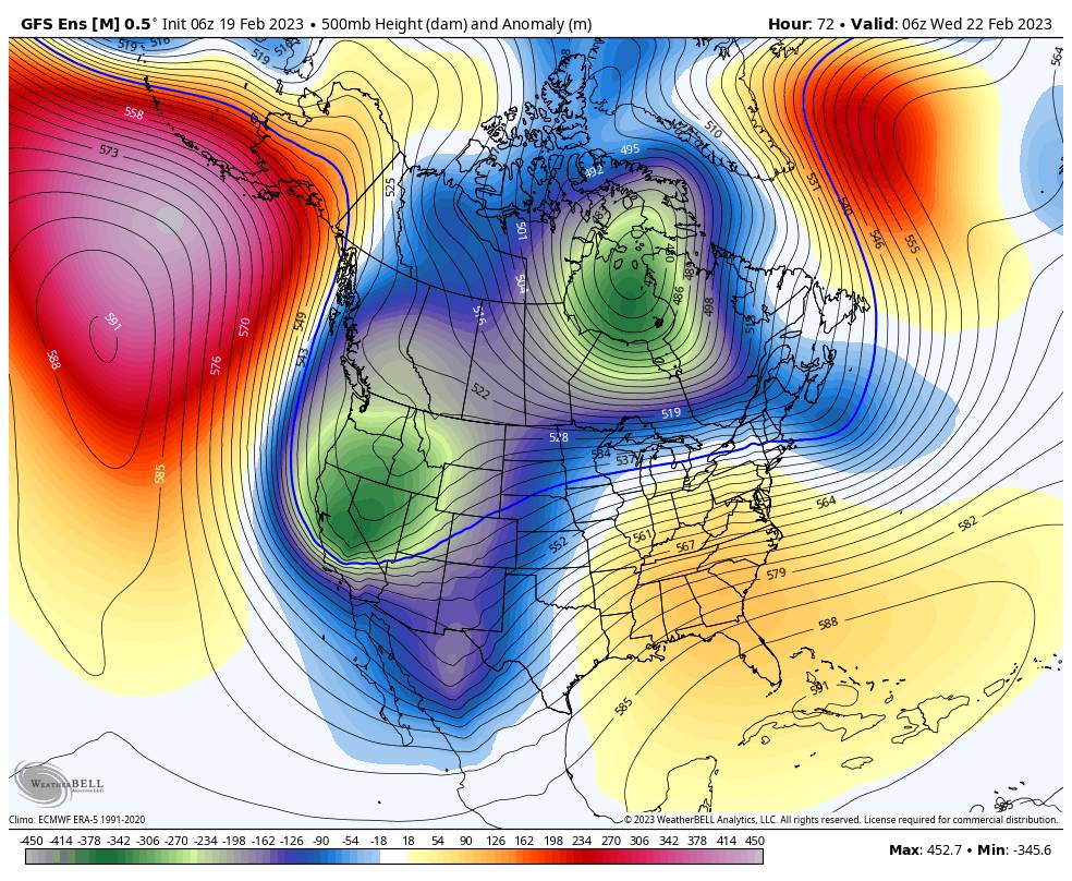
Tuesday Pattern Change:
Tuesday starts dry with highs hitting the 30s in the morning, but with increasing clouds and winds from the west as a cold front approaches from the north. Ridgetop winds could be gusting up to 90-100+ mph by midday, which will close some upper mountain lifts.
Snow showers could break out by noon and fill in through the afternoon. A band of steadier snow is expected later in the afternoon/evening as the cold front moves through, with snow showers behind the front Tuesday night. Snow levels could start near the base but fall quickly. Powdery snow is expected to fall Tuesday night.
By Wednesday morning we could see 24-hour snowfall totals of:
- 2-5 inches at the base.
- 3-6 inches at mid-mountain elevations.
- 4-7 inches up top.
Wednesday – Thursday Snow:
Scattered snow showers for Wednesday and cold with highs only in the teens on the mountain and 20s at the base. Ridgetop winds drop with gusts only up to 30-40+ mph up top. But any wind will make the cold air feel even colder. We may only see an additional inch or two during the day Wednesday.
Steadier snow showers are possible Wednesday night into Thursday night as low pressure slowly moves south down the coast. It will stay very cold through Thursday with highs only in the teens on the upper mountain and 20s at the base, and single-digit lows. Ridgetop winds from the southwest could increase a bit Thursday with gusts up to 50-60+ mph.
The powdery snow continues through the period. By Friday morning we could see 48-hour additional snowfall totals of:
- 6-11 inches at the base.
- 8-13 inches at mid-mountain elevations.
- 10-15 inches up top.
World Cup Weekend:
The latest model runs show the low and trough exiting to our south Friday, and high-pressure building near the West Coast by Saturday as the next cold trough slowly approaches from the north. We could see partly sunny skies Friday with a few scattered snow showers hanging around through the morning and highs in the 20s. Then mostly sunny for Saturday with highs warming into the 30s.
The next cold trough is forecast to dig into CA from Sunday the 26th into Monday the 27th. Some models suggest a weak system moves in on Sunday the 26th while others keep us dry one more day. Either way, we could see the gusty winds pick back up Sunday ahead of any storms and slightly colder temperatures. We’ll continue to watch the trends.
Long-Range:
The long-range models are showing a wetter storm spinning up off the coast by Monday the 27th that could bring some heavier snow to the northern Sierra. The storm could hang around for 3-4 days into the first day or two of March. It’s too early to look at any specific snowfall forecasts, but we’ll continue to watch the trends for the week of the 27th.
The below-average temperatures and active pattern could continue through the 1st week of March. We’ll continue to watch the trends…
BA