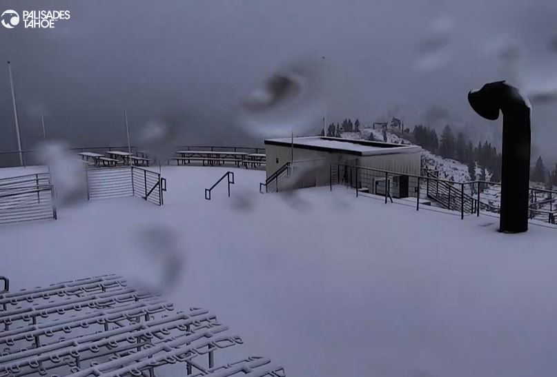
Snowfall Report:
Looking at the cams it looks like around 1-2 inches of wet snow fell on the upper mountain. The official report near 8k’ is 1 inch overnight bringing the season total so far up to 6 inches of snow.
Thursday – Friday:
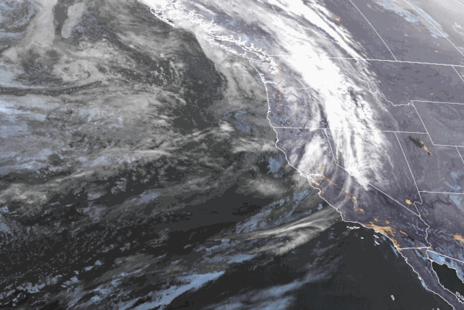
The initial wave that broke off of the low off the coast and moved through Wednesday night is moving to the east. Thursday through the day on Friday we expected some quieter weather with more scattered shower chances.
We also expect snow levels to rise back up above 8000 ft. with any showers. Highs into the 40s for the base and 30s for the upper mountain.
Friday Night – Saturday Night:
The latest model runs continue to trend wetter for this period, especially for Saturday and Saturday night. Part of the reason is that the secondary system to our north Saturday night has been trending far enough south to bring in some additional precipitation right on the heels of the low moving through Friday night into Saturday.
We could now see some steadier rain and high-elevation snow from Friday night through Saturday night before clearing out Sunday. The latest model runs show anywhere from 0.7 – 1.3 inches of total additional precipitation over the mountains through Saturday night, with most of that falling Saturday into Saturday night now.
Snow levels look to stay fairly high through Saturday with no good cold air source as the low moves through CA. Likely hovering near to just above 8000 ft. through Friday and then start to dip into the 7000-8000 ft. range Saturday. Then possibly near the base at the end later Saturday night as the cold front moves through.
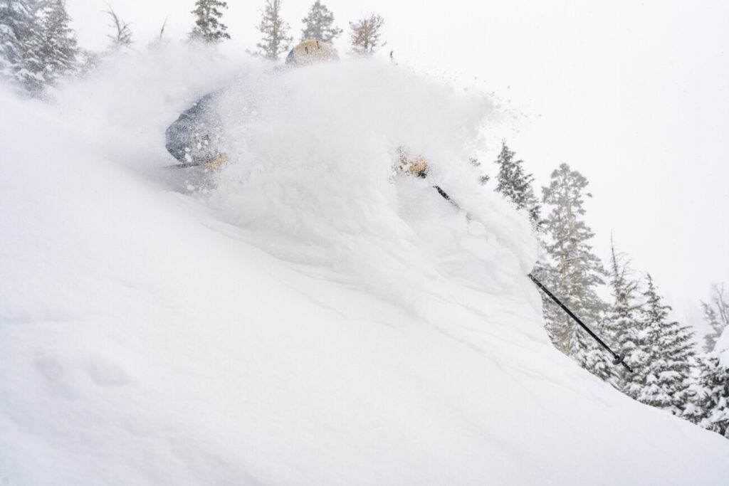
That will bring mostly rain to the base for the period. Maybe a coating to an inch at the end. Above 7000 ft. we could see 2-5 inches of wet snow, mainly Saturday-Saturday night. Above 8000 ft., we could see 5-9 inches by Sunday morning. I’ll continue to watch the trends for the Friday night – Saturday night snowfall period.
Drier Pattern:
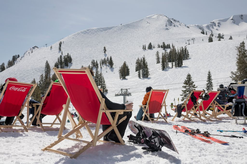
We should dry out on Sunday with mostly sunny skies but still cool. Highs into the 40s near the base and the lower elevations. High pressure is forecast to build over the West through early next week. That should keep the pattern dry and temperatures will become milder, with highs into the 50s for the lower elevations near lake level.
There is some disagreement among the models on how far west a cold trough will back to the West as it moves down from the north into the Western U.S. on Thanksgiving into Black Friday. We’ll have to continue to watch the trends to see if we will get colder air for snowmaking, and even some snow showers if the front digs far enough west.
Fantasy Range:
The pattern is forecast to remain pretty much dry through at least the 26th. The last few days of the month into the first few days of December, the long-range models disagree on whether the ridge remains as the European ensemble mean model suggests or if lower heights and troughing push into the West Coast opening the door for the pattern to become more active.
We’ll continue to watch and hope that by early December will get the ball rolling with bigger storms.
BA