Saturday Night Storm:
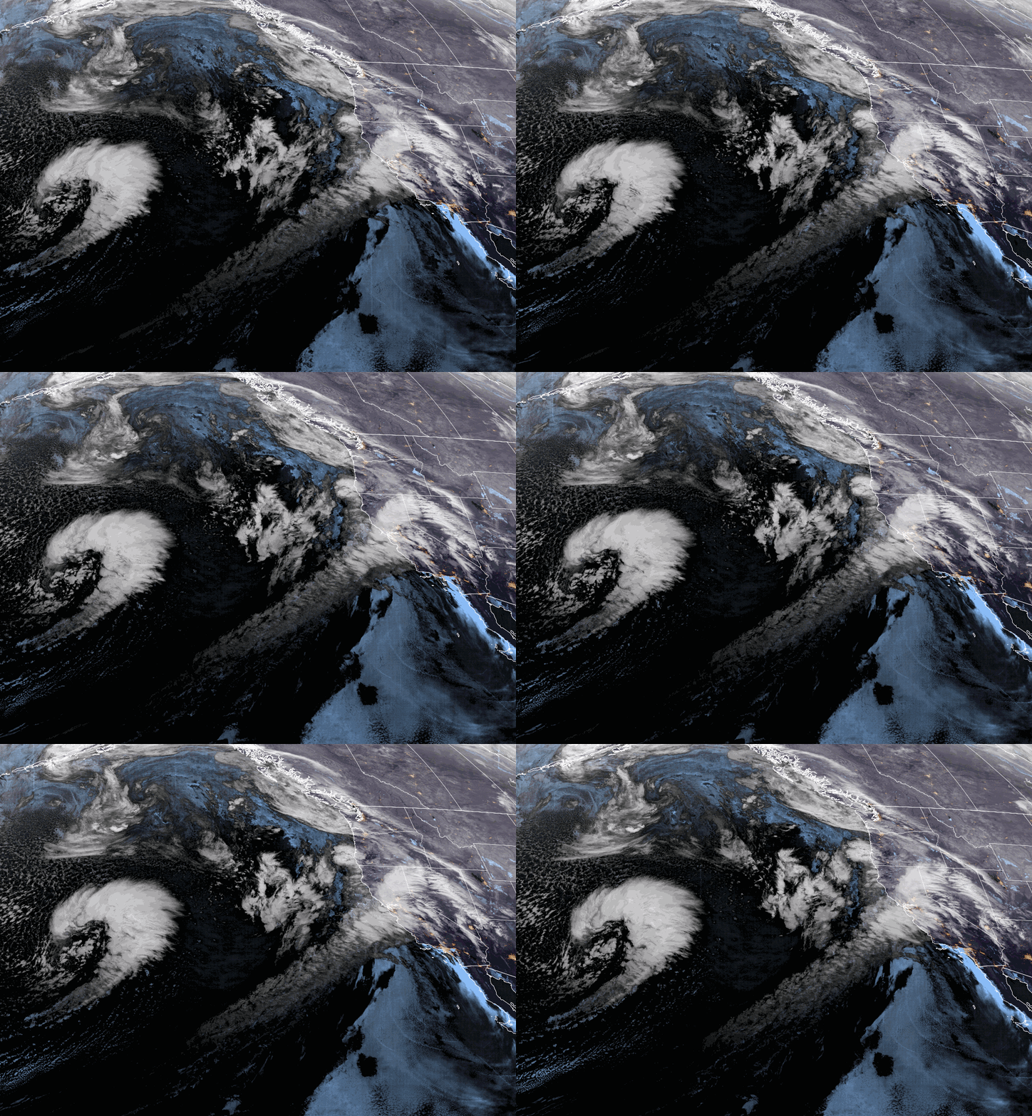
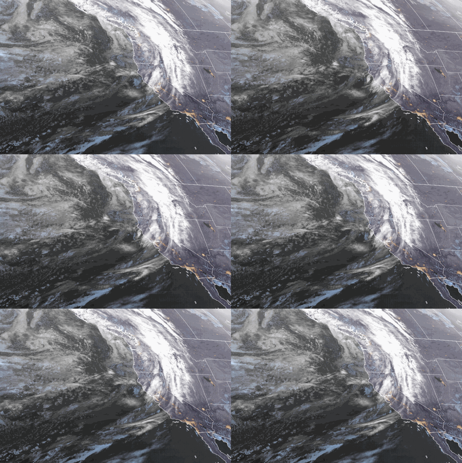
We have some higher-level clouds streaming in over the Sierra Saturday morning. It’s a little hard to see but the lower-level clouds are rotating up from the south near the coast as the next storm is moving into northern CA.
The precipitation falling near the coast will move east toward the Sierra through the day on Saturday. We should see some scattered showers later in the day with the steadier precipitation moving through Saturday evening, and then diminishing into Sunday morning.
The winds will be increasing through the day on Saturday with ridgetop winds from the south-southwest gusting up to 50-60+ mph by afternoon, and even stronger Saturday night. Highs in the 30s on the mountain and 40s near the base.
The snow levels will be up around 7500-8000 ft. for any scattered showers Saturday afternoon, then dropping to around 6500-7000 ft. Saturday evening as the steadier precipitation starts, and down to the base by the end Sunday morning. That means low snow ratios on the mountain and some rain near the base with a little snow at the end.
We could see snowfall totals by Sunday morning of around 1-4 inches near the base, 2-5 inches near mid-mountain, and 3-6 inches on the upper mountain.
Sunday Weather:
We will clear out briefly on Sunday with some partly sunny skies possible for late morning into early afternoon before clouds increase again ahead of the next approaching storm. Highs in the 30s for the mountain to near 40 degrees for the lower elevations near the base. Ridgetop winds dip in the morning and then increase again through the afternoon, hitting 60-70+ mph by evening.
Sunday Night – Wednesday Storm:
The timing of the steadier precipitation from the next storm could be similar to Saturday’s storm with the rain and snow moving in Sunday evening. The heaviest surge of precipitation is expected for Sunday night into Monday morning. Then showers continue into Wednesday before ending as low pressure spins near the coast and eventually weakens and moves inland.
Temperatures in the 30s for the 3-day period. Ridgetop winds from the south-southwest gusting up to 60-70+ mph Monday into Tuesday morning and then diminishing into Wednesday.
The snow levels are trending a bit higher this morning and could start around 7500-8000 ft. Sunday evening, and may only fall to around 6500-7000 ft. by Monday morning. Then close to the base around 6000-6500 ft. by Monday evening. Then Monday night through Wednesday snow levels could fluctuate near the base in the 5500-6500 ft. range with the showers continuing through the period.
We are expecting higher-density snow for the upper mountain with wet snow and some rain mixing on the lower mountain down the base. We could see 3-day totals of around 8-13 inches near the base, 16-22 inches near mid-mountain, and 22-28 inches on the upper mountain, with around 60% of that falling by Monday afternoon, and the rest spread out over the following two days.
Drier Pattern:
We dry out by Thursday with nicer weather expected into Friday and possibly into next Saturday the 24th. Mostly sunny skies with highs in the 30s on the mountain and 40s near the base through the period.
A cut-off low is forecast to stay off of the CA coast through Saturday, and then could stay off the coast through Sunday, or could move through Southern CA by Saturday night into Sunday the 25th brushing us with a few showers on the north side. We’ll continue to watch the trends on that all week.
Long-Range Forecast:
We have been talking all week about the pattern change forecast for the end of the month into the beginning of March. The PNA (Pacific North American) teleconnection pattern continues to look like it will shift from positive to negative for the first time since the 2nd week of January.
That is usually a cold West Coast trough pattern during the winter that will bring down colder air from the north and a colder storm track from the north-northwest. These are the weather patterns that I usually get excited about as they can bring us colder storms with powdery snow!
The latest operational model runs show a cold storm moving in around Monday the 26th, with additional storms possible into the first week of March. Of course, this is still 10+ days away so we’ll watch the trends with cautious optimism.
BA


