Tuesday Weather:
Increasing clouds and winds for Tuesday. Highs into the 40s for the lower elevations and 30s for the upper elevations. Ridgetop winds from the west gusting up to 50-60+ mph by the end of the day, and continuing to increase into Tuesday night.
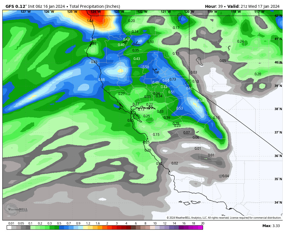
The latest model runs have sped up the precipitation reaching the Sierra a bit. We could see light rain showers move in between 2-4 PM Tuesday afternoon, and then increasing through the evening.
Tuesday Night Rain & High Elevation Snow:
Most of the precipitation is expected to fall by sunrise on Wednesday. Snow levels will be high for this storm starting up around 8000-8500 ft. Tuesday afternoon-evening. Then slowly falling to around 6500-7000 ft. by the end Wednesday morning. That means that we expect mostly all rain below 7000 ft. to the base, a mix between 7000-8000 ft., and mostly all snow above 8000 ft.
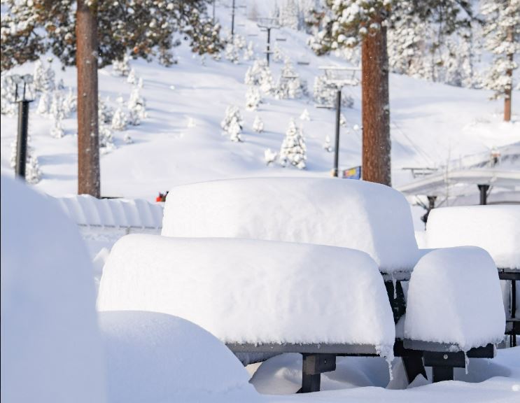
My snowfall forecast hasn’t changed much over the last few days. We could see a coating up to 2 inches of snow between 7000 – 8000 ft., and 2-6 inches of wet/thick snow up top above 8000 ft. by Wednesday morning.
Wednesday:
We could see a few scattered showers Wednesday morning and then clearing through the afternoon. Ridgetop winds will still be gusty with gusts up to 60-70+ mph in the morning and still 50-60+ through the afternoon, which could affect a few upper mountain ski lifts. Highs in the 30s.
Thursday – Friday:
We will have a drier day on Thursday with partly sunny skies. Highs warming into the 40s for the lower elevations and 30s for the upper elevations, along with lighter winds.
Similar temperatures for Friday, but with increasing clouds and winds. Southwest winds could be gusting up to 50-60+ mph over the exposed ridges by the end of the day. We could see a few showers reach the northern Sierra by late afternoon.
The Weekend:
We have been tracking a more active pattern from around the 20th-24th for a while now. That period is now halfway into the 5-day window so it’s time to start looking closer at the details of the first systems moving in by Friday night and through the weekend.
Friday night through Sunday night we should see waves of precipitation moving through with times of lighter showers or breaks and bands of heavier precipitation at times. Highs in the 30s for the lower elevations and 20s for the highest peaks. The winds don’t look overly strong through the period.
Snow levels are going to be very tricky to forecast between 6000-7000 ft. down to the base. Snow levels are expected to rise and fall a bit with each wave moving through over the 2.5-day period. They could start around 7000-7500 ft. Friday afternoon-evening, and then fluctuating between 5300 – 7300 ft. through Sunday night.
It does look like we will see mostly all snow above 7000 ft. based on the latest model runs. Below 7000 ft. we could go back and forth between rain and snow through the weekend. We could see 3-7 inches of snow near the base in total by early Monday morning, but that’s the total not including what melts when rain mixes in. Above 7000 ft. we could see 11-19 inches, with the highest totals above 8000 ft.
Long-Range Forecast:
We will likely see more rain and snow on Monday. The models suggest a possible break next Tuesday the 23rd before a final system for Wednesday the 24th. We will have to see if that happens or if the storms will end by Tuesday.
By Thursday the 25th the long-range models continue to show high pressure building in over the West Coast blocking the storms and bringing us a drier pattern, and they suggest that high pressure remains over CA through the last week of January with a drier pattern and well below-average precipitation.
We’ll continue to watch the trends and I’ll keep an eye on what the first week of February could bring as well.
BA


