Dry through Saturday:
Partly-mostly sunny skies continue each day through Saturday. Highs into the 40s, and maybe near 50 degrees at the base on Saturday. We may stay dry into Sunday as well with the next storm possibly not pushing rain in over the mountain until later Sunday into Sunday night.
Sunday Night – Tuesday Storm:
There are some changes to the forecast this morning and the models are not coming into better agreement, maybe worse. The only agreement is that most models now hold off on the rain moving in until Sunday evening. The other agreement is that the snow levels will be even higher than they were showing yesterday.
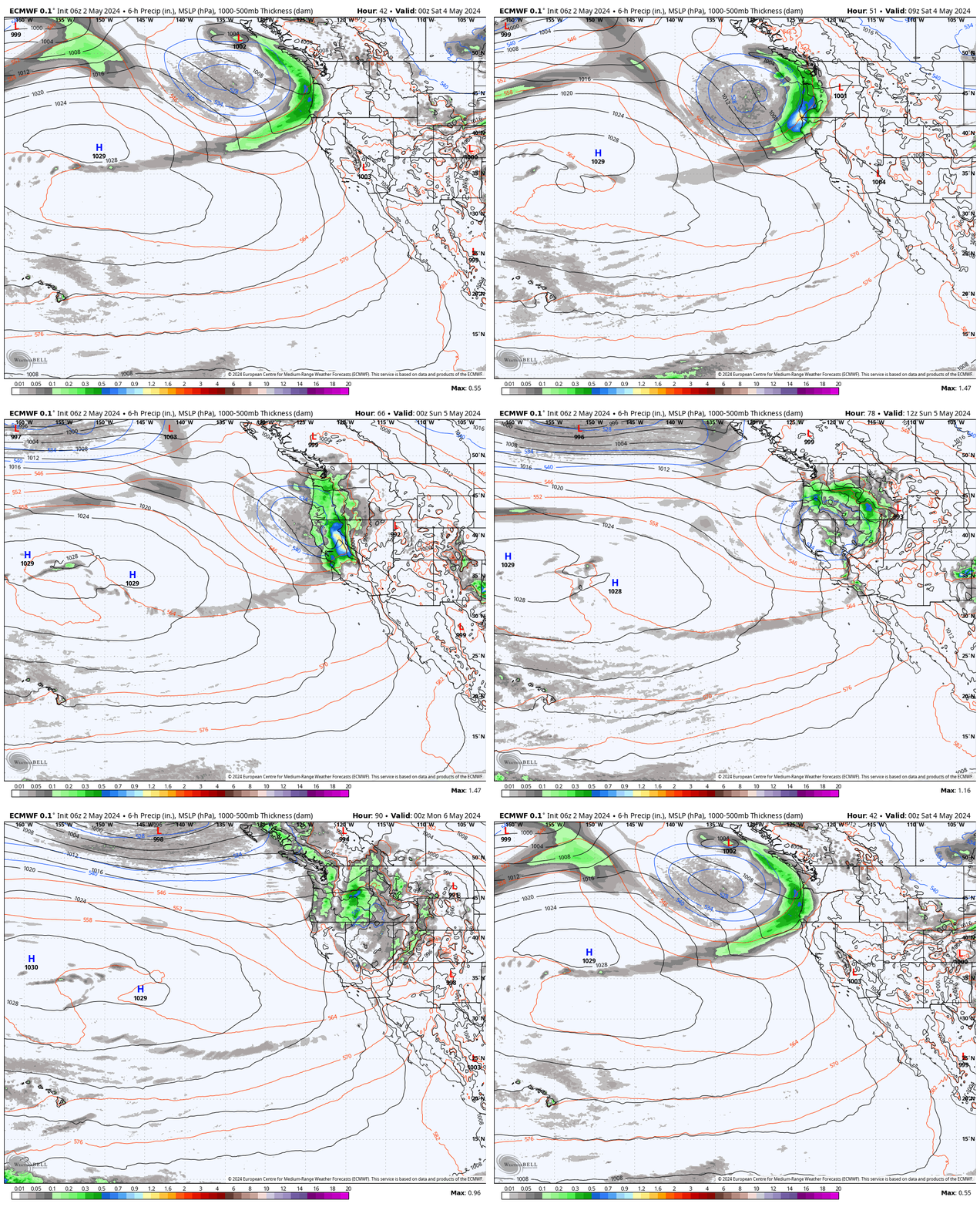
Some forecast models show a weaker system Sunday night through Tuesday as it lifts northeast and brushes us with rain and high-elevation snow. Other models lift the first system northeast but show a second wave of fairly heavy precipitation moving through the Sierra on Tuesday.
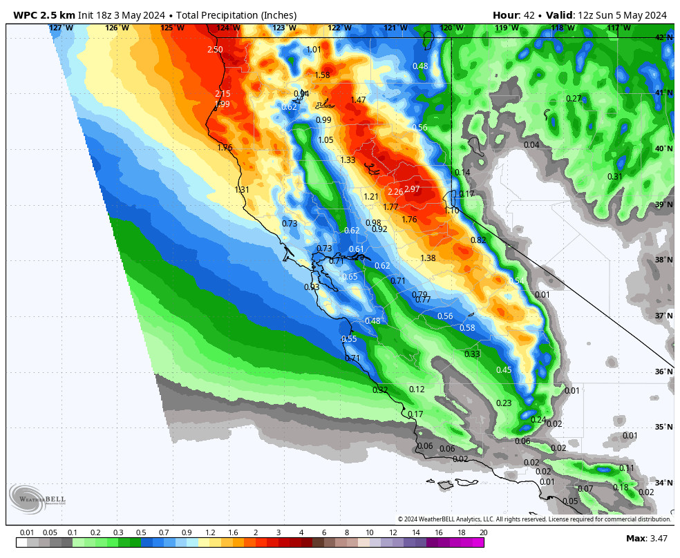
We have a BIG range among the models with the precipitation forecasts over the 2-day period. Some only show up to half an inch of liquid over the mountain and others up to 3 inches!
Snow levels Sunday night now look to start even higher up around 10,000 – 10,500 ft! Then lowering to around 9000-9500 ft. by Monday morning, down to around 8000-8500 ft. on Monday, 7300-7800 ft. Monday night, and maybe bottoming out around 6500-7000 ft. Tuesday and staying there into Tuesday night, before starting to rise again by Wednesday morning ahead of the next system.
That means we now expect all rain at the base through Tuesday, and maybe some wet snow down to 7000 ft. Tuesday if we see heavier precipitation. Most of the snow is expected to fall above 8000 ft. In total by Wednesday morning, we could see around 1-8 inches below 8000 ft, and 8-16 inches above 8000 ft.
Hopefully, we can get a better idea of the total precipitation and snow levels as the storm approaches.
Second System:
We will continue to watch the trends to see if the second system will drop down the coast and miss us next Wed-Thu, or if we could see another round of rain and snow. We could see snow levels drop on Thursday with snow to the base as the center of the low with the colder air moves closer to the Sierra.
Long-Range Forecast:
We may or may not see a drier day next Friday the 22nd. The latest model runs now show a weak system sweeping through from the northwest the weekend of the 23rd-24th or possibly have it dropping down from the north as a drier inside slider system down the east side of the Sierra. We’ll keep an eye on this system over the next week.
We could see additional storms from Christmas Day through the last week of December. We will have to watch the trends to see how strong and cold these storms could be. No guarantees that far out.
BA


