Snowfall Report:
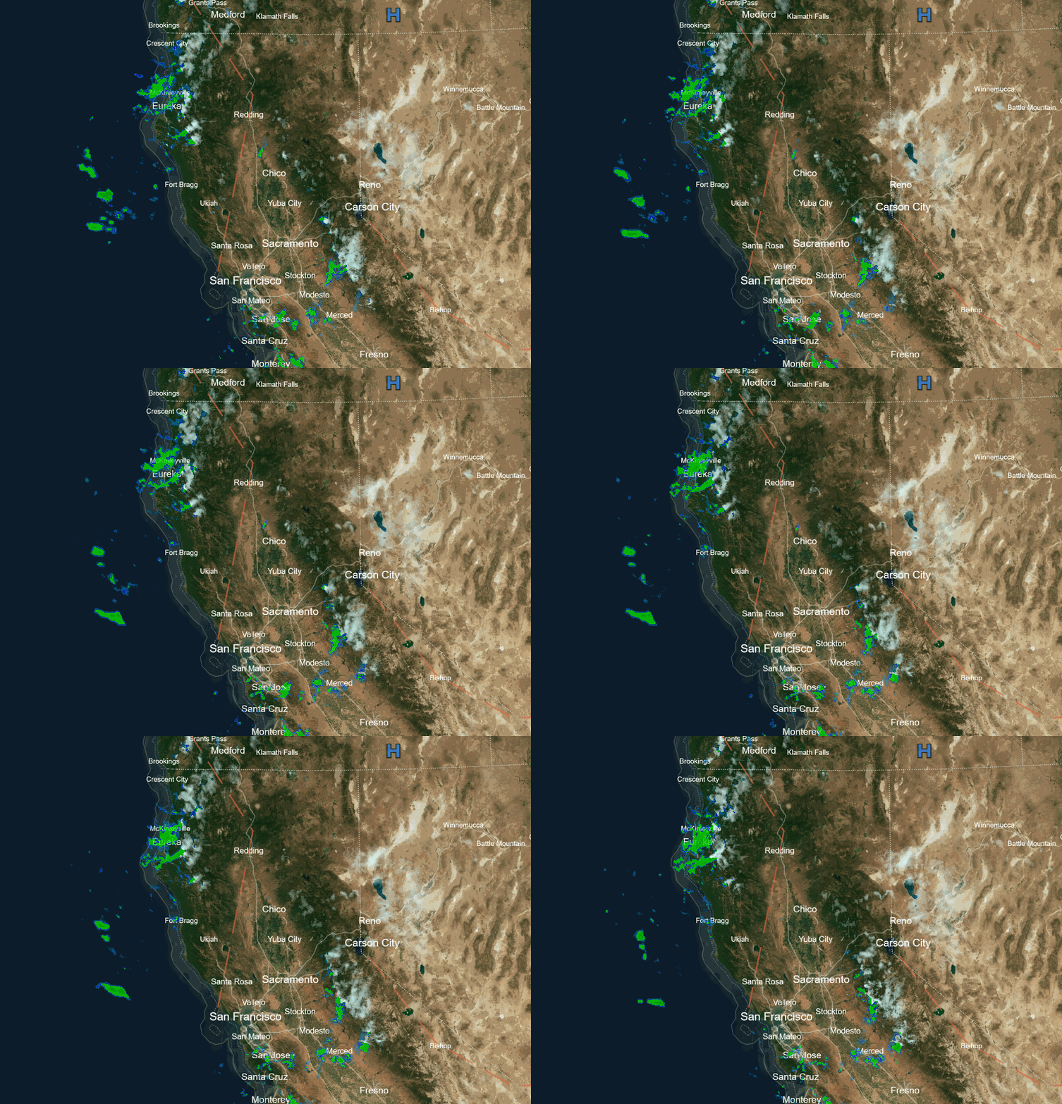
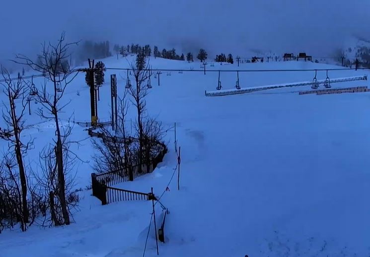
The snow showers dropped more snow than expected Saturday afternoon through Saturday night. The upper mountain picked up an additional foot of snow in the past 24 hours as of Sunday morning, bringing the 2-day storm total to over 2 feet of snow (27 inches)! A total of 10 inches was recorded down near the village.
Sunday Weather:
We have scattered snow showers continuing Sunday morning. They will become more scattered throughout the day. The winds will drop with highs in the 30s.
Monday – Tuesday:
Mostly sunny on Monday and Tuesday. A few clouds are possible Monday afternoon from a weak system to our north, and maybe a stray shower. Highs in the 30s to near 40 degrees at the base on Monday, and 30s for the upper elevations with 40s for the lower elevations on Tuesday.
Wednesday – Thursday Storm:
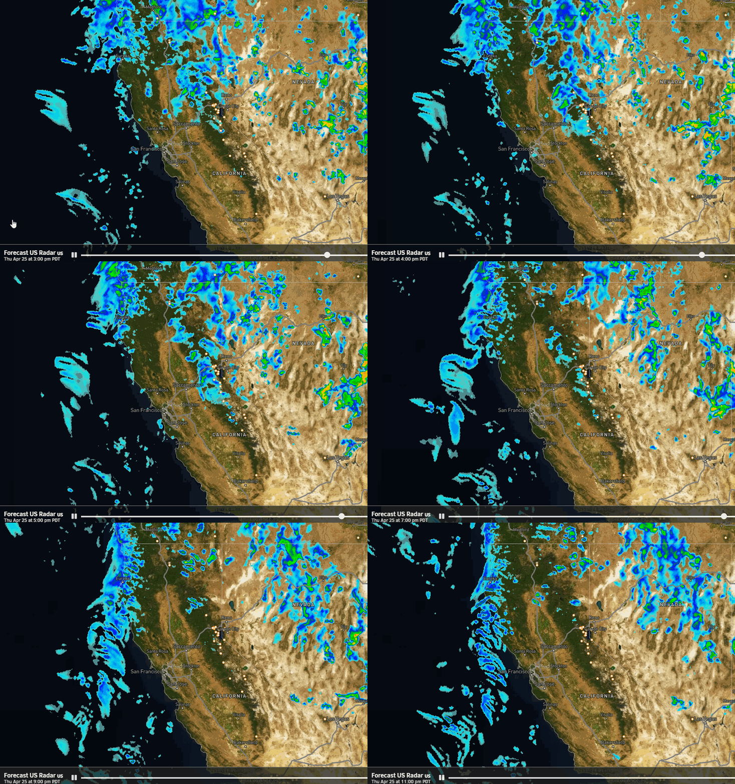
The forecast models have some varying forecasts for the timing and track of the next storm. Some push in some rain and high-elevation snow showers in by Wednesday afternoon while others hold off until evening. We will have increasing winds and clouds during the day with ridgetop gusts up to 70-80+ mph by the end of the day and highs in the 30s & 40s.
There is good agreement on the heaviest precipitation falling Wednesday night as a cold front sweeps through the northern Sierra. However, some models show the center of the low farther north toward the Canadian coast and a weaker front with less precipitation, while others show the center of the low farther south near the Pacific NW coast and a much stronger front with heavier precipitation.
Then on Thursday into Thursday night, we could see scattered snow showers. Gusty winds from the southwest continue with gusts up to 50-60+ mph on Thursday and highs in the 30s. There is a big range in solutions for total precipitation amounts with the storm, and therefore potential snowfall.
Snow levels start high Wednesday afternoon, up around 7500-8000 ft, and then falling to around 6500-7000 ft. by evening as the precipitation increases. Then dropping below the base overnight behind the cold front. A little rain to start near the base and low snow ratios on the mountain, which increase by Thursday morning.
We could see snowfall totals of around 4-8 inches at the base, 10-15 inches near mid-mountain, and 13-18 inches up top. With most of that expected to fall by Thursday morning, and light additional accumulations possible Thursday.
Friday – Saturday Storm:
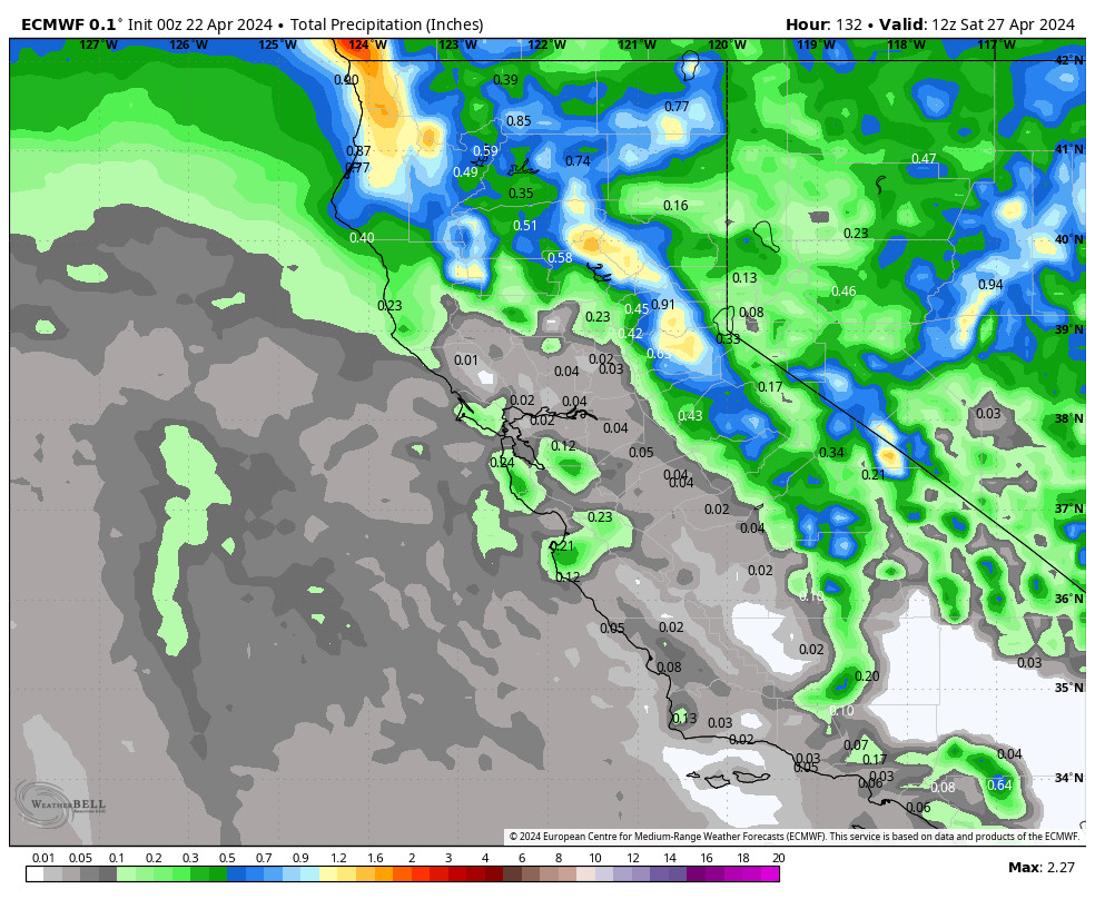
The next storm is right on the heels of the Wed-Thu storm. The latest model runs still show the storm dropping south down the coast toward southern CA. But we have a difference among the models on how close the storm tracks to the northern Sierra.
Some forecast models track the closed low farther west and south with the track and pretty much missing us. Others show a less compact low and track it close enough to bring some steady precipitation to the mountain.
We will be watching the trends closely this week. Cut-off and closed lows are hard to forecast as their tracks can shift each model run, and that can swing the precipitation forecasts up and down. I’ll try to make an initial snowfall forecast Monday morning if it looks like we could see some snow on Friday and Saturday.
Long-Range Forecast:
A few snow showers could linger into Easter Sunday. But overall the storms are expected to start clearing as high pressure builds in for the first few days of April bringing us a drier pattern.
The long-range models continue to show troughing over the West by the 4th through at least the 8th. That should keep the cooler temperatures around and will keep the storm door open. The latest operational model runs show a storm or two between the 4th-8th. We’ll continue to watch the trends.
BA

