Snowfall Report:
We picked up 3 inches of new snow at the base and 7 inches on the mountain in the past 24 hours as of 5 AM Tuesday. That brings the 2-day storm total to 16 inches, exactly what we expected out of the storm. We are now at 357 inches for the season which is around 189% of the average for the date!
Tuesday – Wednesday:
We will see mostly sunny skies Tuesday along with cold temperatures. Highs in the 20s.
Wednesday morning we should see similar weather and then increasing clouds and winds through the afternoon. Ridgetop winds from the southwest gusting up to 50-60+ mph by the end of the day and continue to increase into the evening. Highs in the 30s at the base and 20s for the upper mountain.
Wednesday Night Storm:
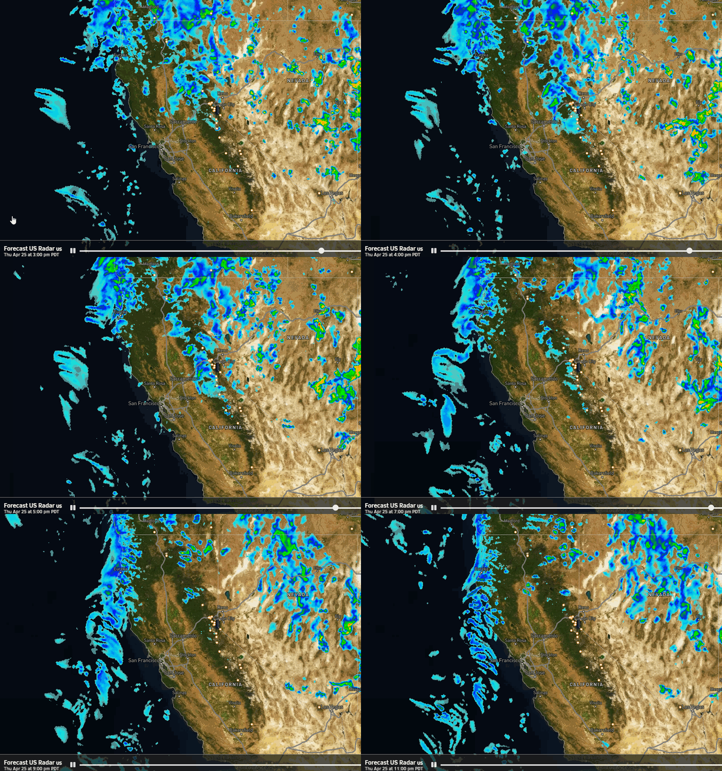
The latest model runs are in pretty good agreement that the cold front and associated precipitation band start to push snow into the Tahoe basin between 5-6 PM Wednesday evening. This front sweeps through quickly Wednesday evening with some steadier/heavier snow falling for several hours. Then snow showers behind the front become scattered and taper off by daybreak Thursday.
It will be cold with powdery snow falling on the mountain again. Here is the updated forecast for total snowfall expected by Thursday morning.
- 4-8 inches at the base.
- 5-9 inches at mid-mountain elevations.
- 6-10 inches up top.
Thursday – Friday:
Thursday and Friday are expected to be similar to Tuesday. The storm clears out of the region Thursday morning with mostly sunny skies expected, and the same for Friday. It will be cold with highs only in the 20s. Breezy north-northeast winds develop which could make it feel a bit colder.
The Weekend:
Saturday could be the warmest day this week as high pressure continues to build in near the West Coast. We expect mostly sunny skies with the winds turning west and highs warming into the 30s.
Sunday we could see a dry cold front move through the Great Basin which would bring colder air back in, with highs dropping back into the 20s. We could see a few clouds as well, but expecting mostly sunny skies. The winds could become quite gusty so Sunday could be a blustery and cold day.
Long-Range:
A drier pattern is expected through the last week of January. We may see an even colder pattern with time with colder/weaker systems possibly dropping down from the north, and then the storm door possibly opening up a bit more by the end of January.
We’ll be watching the long-range forecast trends closely to see how long the drier period could last and when we will see more fresh snow.
BA

