Snowfall Report:
We picked up more than expected in the past 24 hours as the convective snow bands hit hard NW of the lake behind the cold front Friday evening. Mountain ops are reporting 10 inches at the base and 14 inches of new snow up top in the past 24 hours as of 5 AM Saturday. A big start to a snowy weekend!
Of note is that they also measured 20 inches on the Alpine Meadows side, so there are likely some deeper areas out there, plus it has been snowing since 5 AM, so there are likely some stashes close to 2 feet Saturday morning!
Saturday Storm:
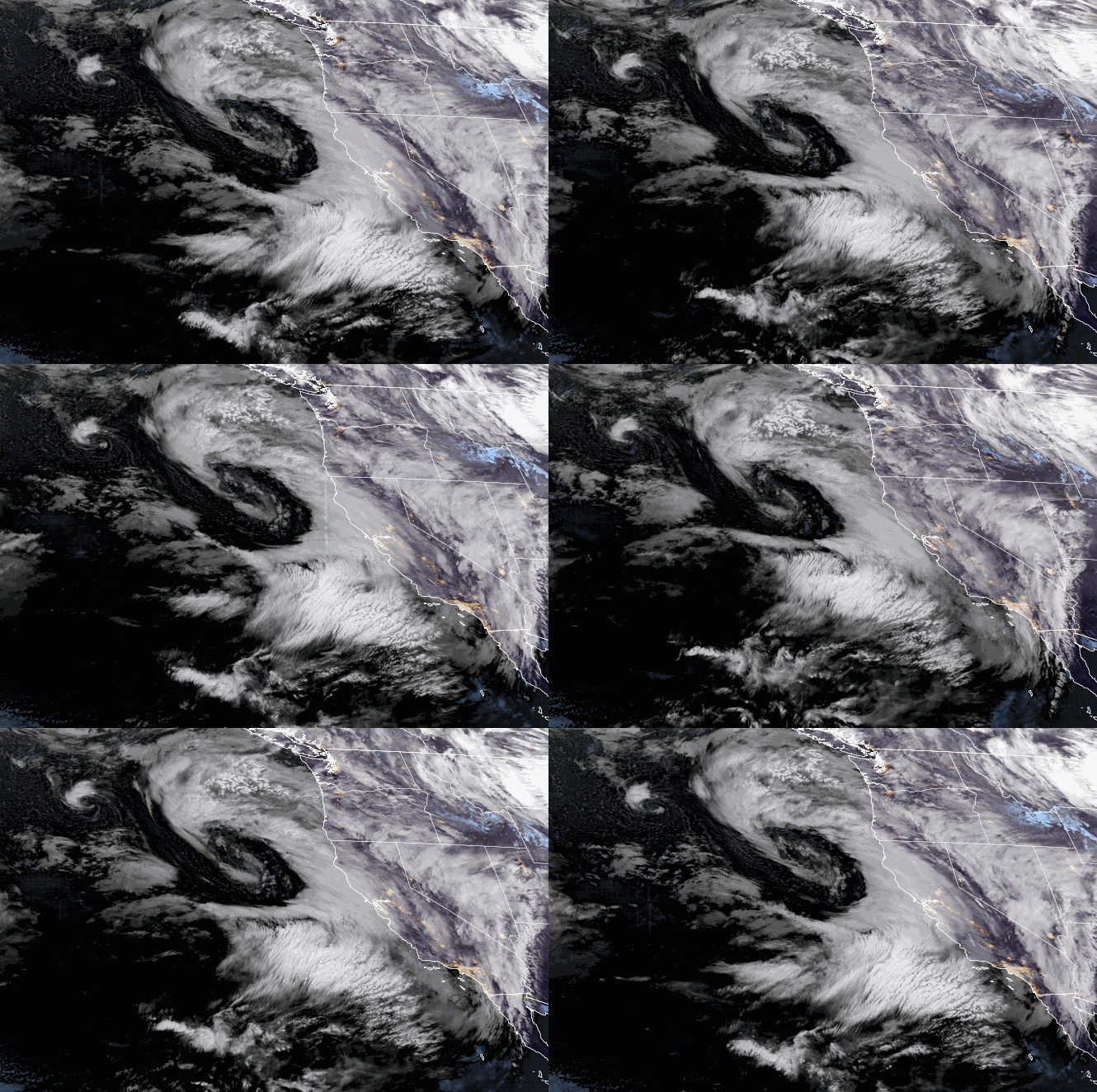
A stronger storm is moving in Saturday morning. We expect heavy snow from Saturday into Saturday evening. Then snow showers continue Saturday night. Highs into the 20s on the upper mountain and near freezing at the base. Ridgetop winds gusting up to 70-80+ mph from the southwest which could affect some upper mountain lifts again Saturday.
By early Sunday morning, we could see additional snowfall amounts of:
- 14-21 inches at the base.
- 20-26 inches at mid-mountain elevations.
- 23-29 inches up top.
Yes, those are the same amounts as my 2-day snowfall forecast for Friday-Saturday I put out Friday morning. The Saturday storm has been trending snowier and the Friday storm dropped 6 inches over the high end of the forecast. So we could now see 2-day totals of 2 – 3.5 feet from bottom to top.
Sunday Snow Showers:
Sunday could be a decent day for skiing. We are between storms with a moist flow and lighter snow showers or even scattered snow showers with some breaks. Ridgetop wind gusts could drop to 40-50 mph which could mean little if any lifts are affected. Highs in the 20s on the mountain. Only Expecting around 1-3 inches of new snow during the day.
Sunday night moisture continues to flow into the Sierra with snow showers possible overnight. Only another 1-3 inches of snow new snow is expected overnight. This means we may only see 2-6 inches in total for the 24-hour period by early Monday morning. Slightly more is possible if a heavier snow shower or two forms over the mountain.
Monday Storm:
Steadier snow moves back in Monday morning as the next storm moves in and continues through the afternoon. Then scattered snow showers into Monday evening which taper off by early Tuesday morning. This storm is trending farther south which could mean only light-moderate snow for Monday.
It also means that lighter winds are now expected for Monday as well. Highs in the 20s on the mountain to near 30 degrees at the base. We could see 4-9 inches of new snow by early Tuesday morning which is down a bit from the previous forecasts with the storm trending to the south of the Tahoe basin.
By early Tuesday morning, we could see 2-day storm totals of:
- 6-11 inches at the base.
- 8-13 inches at mid-mountain elevations.
- 10-15 inches up top.
That would be 4-day weekend totals of around 2.5 – 4.5+ feet from bottom to top on the mountain!
Tuesday-Wednesday:
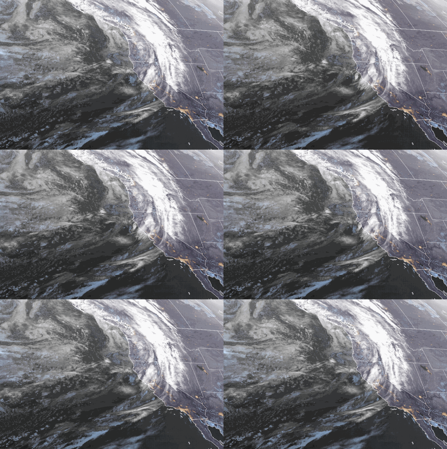
Clearing and cold for Tuesday with lighter winds. Highs into the 20s on the mountain and low 30s at the base. Wednesday is still cold but with increasing winds and clouds through the afternoon as the next system approaches. Ridgetop winds could reach 60-70+ mph from the west by afternoon which could affect some upper mountain lifts.
Wednesday Night – Thursday Morning System:
The next front drops down from the north over land Wednesday night into Thursday morning. That means there’s not much of a moisture source with only lighter snow showers possible as the front sweeps through the Sierra. We will see gusty winds into Thursday morning most likely before they drop off through the afternoon.
We may only see around 1-3 inches of snow from this system by Thursday morning. As the storm clears Thursday we should see the sun come out by afternoon with cold temperatures continuing behind the front. Highs in the 20s on the mountain and low 30s at the base.
Long-Range:
Then high pressure builds in over CA by the 20th, with a drier pattern possible through the last week of January. We should see mostly sunny skies and still pretty cold starting Friday through the weekend of the 21st-22nd and into the week of the 23rd.
We may see an even colder pattern with time with colder/weaker systems possibly dropping down from the north, and the storm door possibly opening up a bit more by the end of January.
We’ll be watching the long-range forecast trends closely to see how long the drier period could last and when we will see more fresh snow.
BA


