Skip to content
Palisades Tahoe Logo Palisades Tahoe Logo Palisades Tahoe Logo
Explore
Main Menu
  • Explore Palisades Tahoe
  • Base to Base Gondola
  • Our New Name
  • Explore Legendary Lifts
  • Palisades Tahoe Blog
  • About Lake Tahoe
  • About Us
Plan Your Visit
Main Menu
  • Tickets & Passes
  • Lodging
  • Lessons & Guides
  • Deals & Packages
  • Rentals & Demos
  • Travel Here
  • Getting Around
Mountain Information
Main Menu
  • Snow and Weather
  • Lift and Grooming Status
  • Webcams
  • Hours of Operation
  • Trail Maps
  • Parking & Road Conditions
  • Snowfall Tracker
Events & Activities
Main Menu
  • Events Calendar
  • Activities
  • Dining & Apres
  • Shopping
  • Things To Do In Lake Tahoe
  • Groups, Meetings & Weddings
  • Ski & Snowboard Teams
IKON PASS HOLDER LODGING DISCOUNT

Ikon Pass holders save up to 20% on slopeside lodging at The Village at Palisades Tahoe.

SLOPESIDE LODGING
Icon / FlashCreated with Sketch.
View All Offers
  • Weather

On the Edge of an Active Pattern

  • Apr 28, 2022
  • 7:40 am

Thursday:

A cooler trough has dug into the region for Thursday with a system moving through to the north. We will see sunny skies but with cooler temperatures. Highs are only in the 40s for Thursday. We have gusty ridgetop winds in the morning up to 60+ mph that will be falling into the afternoon.

Short-Range Forecast:

The pattern of systems moving through to our north will continue for the next 7 days. A system moves through Saturday, Monday, and next Thursday the 5th. Each will bring a slight cool down with highs in the 50s at the base and 40s up top along with some gusty ridgetop winds and some clouds possible.

The Saturday system looks to only bring southwest ridgetop gusts up to 40+ mph but then stronger winds up to 90+ mph are possible for Monday. We could see some upper mountain lift closures for Monday. The forecast models are at odds on how far south precip will track with each system.

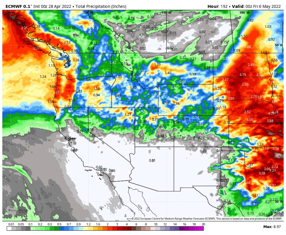
Some models keep us dry through next Thursday, other models track each system slightly farther south. We could see a stray shower Saturday, and a better chance for a few showers Monday and next Thursday if we see the systems track farther south. Snow levels likely above 7000 ft.

For now, expect a slight cooldown, some clouds, breezy winds, and a chance of a stray shower with each system. In between systems, we should see sunny skies and lighter winds. Highs into the 60s at the base and 50s up top.

Long-Range Forecast:

The progressive spring pattern could continue through the long range with systems moving through the Pacific NW every few days or so. That could continue a pattern where we see slight cooldowns, a few clouds, and breezy winds every few days or so. 

Right now no significant precipitation is showing up on the models through the long range. But I’ll continue to keep an eye on it through the rest of the spring, and I’ll let you know when/if we could see any additional snowfall before the end of the season.

BA

lake tahoe weather palisades tahoe weather forecast snowfall forecast
Bryan Allegretto
Bryan Allegretto

Share this article:

Recent Posts

  • Weather ·
  • March 21, 2023·

Weak Systems & Snow Showers thru Sunday

Tuesday Storm: The next storm pushes snow showers back in by later Tuesday morning, with steadier snow through Tuesday afternoon.…
Read more
  • Weather ·
  • March 20, 2023·

More Weak Systems Tuesday-Friday

Snowfall Reports: No real surprises with the weak storm that moved through on Sunday. We were expecting 3-11 inches from…
Read more
  • Weather ·
  • March 19, 2023·

Two More Storms Sun & Tue

Sunday Storm: Snow showers are moving in Sunday morning, and will continue through the day before becoming more scattered Sunday…
Read more

Social

Instagram Twitter Facebook Youtube

Contact

   Email Us
   1.800.403.0206

Our Partners

U.S. Forest Service Logo
1960 Olympic Valley Road
Olympic Valley, CA 96146

©2022 Palisades Tahoe

Alterra Mountain Company
  • Privacy Policy
  • Terms of Service
  • Photo Upload Terms of Use
  • Accessibility
  • Do Not Sell My Personal Information
  • Privacy Policy
  • Terms of Service
  • Photo Upload Terms of Use
  • Accessibility
  • Do Not Sell My Personal Information